displaying 24 results
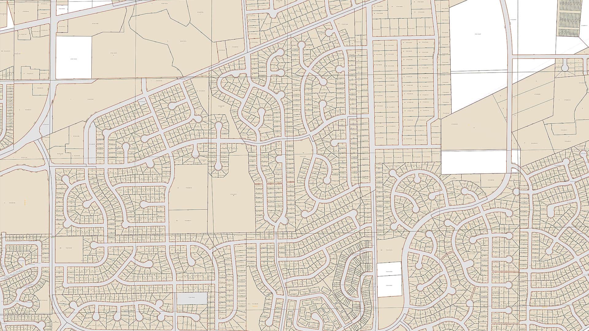
Using the Esri parcel fabric, Fauquier County, Virginia, now maintains its tax parcel data at a much higher level of accuracy than it did before.
Demand for the property maps maintained by local and regional governments is steadily growing.

Clay County, Minnesota, uses the Parcel Lineage app from the ArcGIS Marketplace to easily store and retrieve property records.

Esri Training has several new instructor-led courses, MOOCs, and specialty certifications available, all with options to take them online.

See how four Esri partners helped several organizations improve operations, update planning procedures, and streamline data management.
At the 2020 Esri Partner Conference, Esri recognized 19 partners for their important and innovative contributions to GIS.
Water 4Life works to conserve water; Esri cloud solution engineering supports public safety; and maps improve efficiency in California.
This article is an abbreviated synopsis of the opening session of the 2007 Esri International User Conference.
Organizations around the world are using GIS to build new housing, improve roads, and fix water supply issues—with help from Esri partners.
The Register of Deeds office in Racine County, Wisconsin, created a series of Web GIS apps that the public can use to view land records...

Presentations at Esri User Conference show how users are creating a better world with GIS.
The latest release of ArcGIS technology offers powerful new features in mapping, visualization, analytics, and more.