Digital twins have become an increasingly critical tool for many industries. ArcGIS Reality, a new suite of photogrammetry software products released by Esri, helps create the foundation for digital twins on scales ranging from local to global.
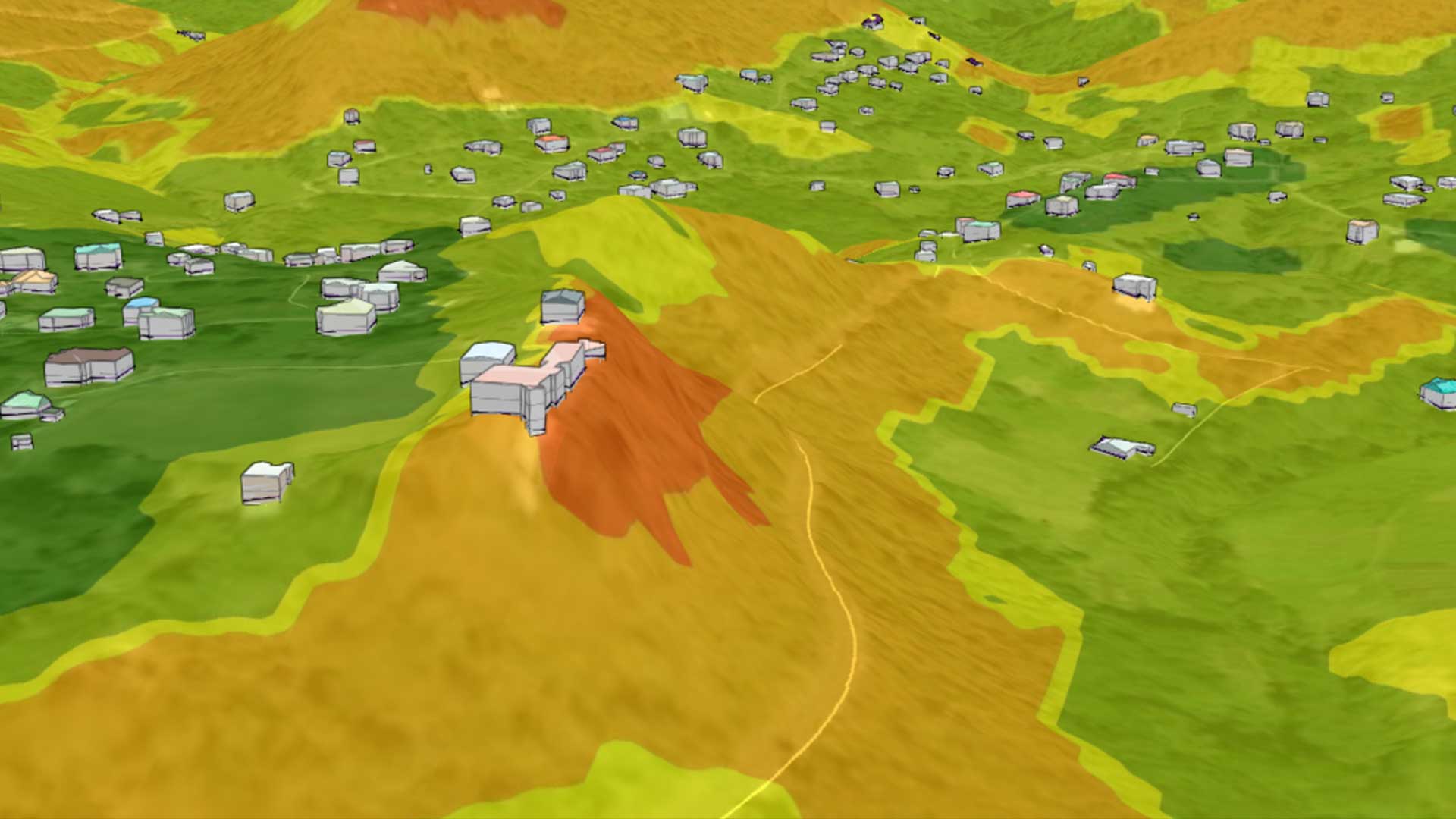
More than just a visualization, a digital twin is a virtual representation of an object, process, or system that bridges the gap between the physical and digital worlds. By providing high-resolution maps and 3D models of construction sites, complex cityscapes, or entire countries layered with geospatial information give organizations a better understanding of the world.
A digital twin can accelerate innovation, build consensus, and save time and money by iteratively modeling changes. By testing system components or the function of an entire system, digital twins provide a better understanding of processes and the impacts of proposed changes. By creating a feedback loop between design and production, a digital twin saves time and money. In addition, troubleshooting malfunctions can be done inexpensively in a virtual world.
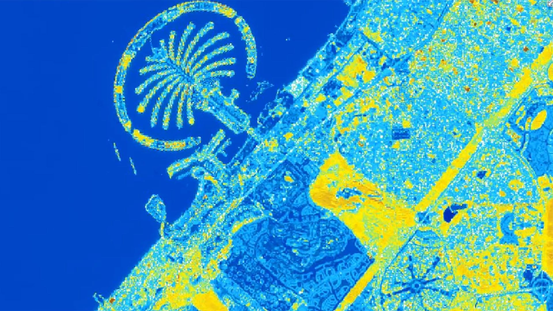
This need to capture reality as the foundation for digital twins is expanding the aerial imaging market, which is expected to grow from $1.4 billion in 2017 to more than $4 billion by 2025. The ArcGIS Reality suite of photogrammetry software products helps create digital twins through reality capture workflows that generate a digital representation of the world at any scale and extent. These products can turn drone and aerial imagery into visually stunning and highly accurate maps and 3D models. The ArcGIS Reality suite includes ArcGIS Reality Studio, ArcGIS Reality for ArcGIS Pro, Site Scan for ArcGIS, and ArcGIS Drone2Map.

ArcGIS Reality Studio
ArcGIS Reality Studio, a new standalone advanced photogrammetry application optimized for precision, speed, and simplicity, can be used to create the foundation of 3D digital twins. Align large collections of images captured by multicamera sensors across multiple flights to create highly accurate true orthos, 3D meshes, and point clouds. An intuitive mapcentric 3D interface provides automated processing workflows for the efficient creation of survey-grade products. Easily collaborate and share data within GIS technology and mapping systems for photo-realistic visualization and analysis.
This solution is optimized for precision, speed, and simplicity. By processing large or multiple-day captures in a single project, it accelerates data processing. Automated workflows can create true ortho and 3D meshes for entire cities and countries without requiring manual post-processing edits. It provides a best-in-class aerial triangulation and processing engine that produces accurate, photorealistic, and performant true ortho and 3D meshes.
ArcGIS Reality Studio workflows automatically determine optimal parameters at each processing step to reduce the learning curve. Images are easily located in the context of a map. Outputs can be immediately used in ArcGIS or third-party mapping systems so that data won’t require reformatting for use by customers.
ArcGIS Reality for ArcGIS Pro
This new extension for ArcGIS Pro lets users input images from drones or crewed aircraft to generate 3D outputs for reality mapping. It provides reality mapping tools that allow GIS professionals to create the foundation for digital twins and provide data for analysis in ArcGIS.
With this extension, ArcGIS Pro can generate photo-realistic true orthophotos, point clouds, and 3D meshes from drone and aerial imagery in-house. Processing and outputs are seamlessly integrated with ArcGIS, so they’re immediately ready for analysis, visualization, and incorporation into workflows such as automated object detection and feature extraction.
Because ArcGIS Reality for ArcGIS Pro is camera agnostic, it supports a wide range of drone and aerial sensors and eliminates the need for separate solutions for drone and aerial imagery. Both types can be processed in one project.
Site Scan for ArcGIS
Now part of the ArcGIS Reality family, Esri’s cloud-based end-to-end reality mapping software for drone imagery is designed to simplify drone program management, imagery data collection, processing, and analysis. It maintains a complete picture of drone inventory and flight history with automatic fleet management. Drone data can be directly published to ArcGIS, so it is available for drone analytics such as object detection and the application of artificial intelligence (AI).
ArcGIS Drone2Map
This intuitive desktop application processes and analyzes drone images without the need for an internet connection. The accurate 2D and 3D representations of the real world generated can be easily shared using ArcGIS. Site Scan for ArcGIS uses the same processing technology as the rest of the ArcGIS Reality family.
Together, the products in the ArcGIS Reality suite enable interaction with a digital world layered with geospatial data that provides greater context for decisions. To learn more about Esri’s ArcGIS Reality, visit go.esri.com/About_ArcGIS_Reality.