Before the rise of computers and digital design software, architects and engineers hand-drew their designs and technical schematics. It was common to enter a design firm and see numerous architects and engineers diligently working on plans that spanned the length of the room. Their tools included T-squares, triangles, compasses, stencils, and other precision instruments—all of which were essential for bringing their visions to life.
As the digital era progressed, the tools for drafting and design evolved as well. In the 1980s, Autodesk introduced a revolutionary drafting and design software called AutoCAD, which let architects and engineers use computers to aid their design processes. Over time, additional building information modeling (BIM) design tools, such as Autodesk Revit, were also introduced, providing data-centric 3D parametric models.
Today, drafting and design software is most effective when it is grounded in spatial context. Understanding the real-world environment and its impact on design is crucial for the success of any project.

Recognizing this, Esri and Autodesk have partnered to integrate authoritative ArcGIS data into Autodesk Forma—cloud software with easy-to-use AI-powered tools that architects and designers can employ for predesign tasks and schematic design. This integration, called ArcGIS for Autodesk Forma, ensures that projects are both data driven and contextually rich.
Enhance Design Accuracy by Incorporating Spatial Context Early
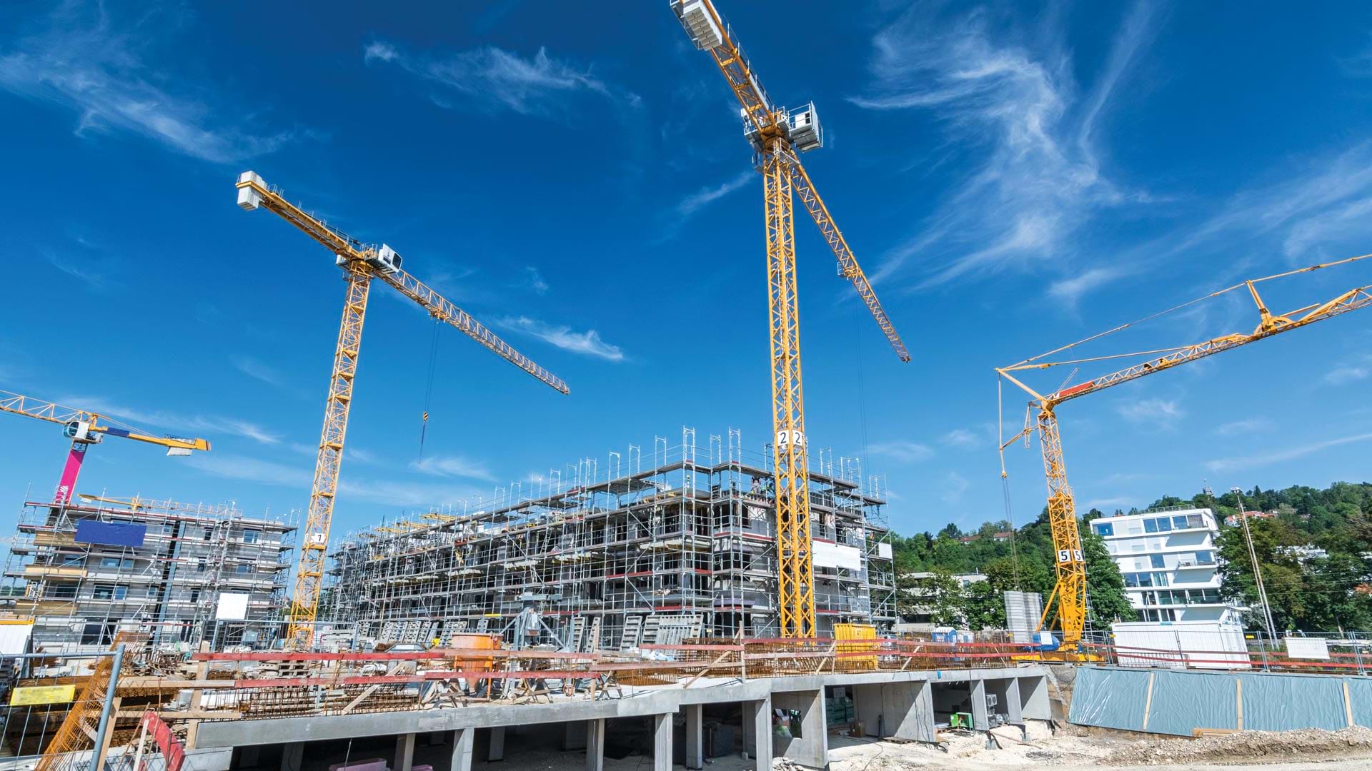
Site designs for infrastructure, housing, and transportation projects that fail to consider their surroundings—including local ecosystems, spatial factors, and environmental impacts—are inherently limited. Incorporating GIS data early on in a project significantly enhances the design experience and outcomes. By leveraging the spatial context provided by GIS data from the beginning, designers can avoid having to backtrack or make substantial corrections later in the process. This means that designs can be accurate and up-to-date right from the start, ultimately saving both time and money during the latter stages of a project.
ArcGIS for Autodesk Forma is an integration tool that enables architects, GIS managers, and civil engineers to seamlessly incorporate their organizations’ authoritative ArcGIS data into their Autodesk Forma designs. For example, they can bring in drone imagery, utility networks, or existing site conditions shared by collaborating organizations. They can also bring in imported layers from ArcGIS Living Atlas of the World, including environmental features like soils and hydrology, infrastructure data, imagery, and live feeds from various authoritative datasets.
This integration provides essential spatial context, allowing users to perform environmental impact assessments and real-world visualizations while improving the overall quality and maintaining the fidelity of their work. Additional benefits of using ArcGIS for Autodesk Forma include the following:

- Streamlined access to ArcGIS data: The direct integration allows users to transfer their ArcGIS data into Autodesk Forma quickly and efficiently, without compromising accuracy or integrity. This enables users to work within their Autodesk Forma design environment without switching between systems.
- Reliable and accurate designs: When a user’s ArcGIS data gets updated, these changes are automatically reflected in Autodesk Forma when the screen refreshes. This ensures that users always have the most up-to-date data available, enhancing the accuracy and efficiency of their designs.
- ArcGIS data integration extends beyond Autodesk Forma: Users can share their spatially enhanced designs across Autodesk’s software, including Revit, maintaining spatial context throughout the entire design process. This seamless integration allows for consistent and accurate data usage, from initial concept to final construction, improving collaboration and project efficiency.
- Identify challenges before they occur: ArcGIS data provides designers with critical information, such as zoning and land-use regulations, parcel sizes, and other environmental factors. With ArcGIS for Autodesk Forma, users have spatial context from the outset of a project, making it less likely that they’ll have to make important modifications to their designs later.

Building a More Resilient Future, Together
The strategic alliance between Esri and Autodesk is designed to empower designers, engineers, and architects with spatial context upfront. This collaboration enhances the accuracy and relevance of design and engineering processes, providing detailed and context-rich visualizations that support more sustainable and resilient predesign workflows. Whether users then move to schematic design or design development, this integration ensures that every step thereafter is also informed by comprehensive spatial data.
Esri and Autodesk are dedicated to offering a more robust and integrated approach to design, engineering, construction, and urban development. This commitment includes the continuous development of new features and services to further improve the user experience.
Learn more about the benefits of spatially enhanced designs and ArcGIS for Autodesk Forma, or contact your Esri representative.