Designing Smarter from the Start with Live GIS Data
Esri partners HDR and ReportAll teamed up to give civil engineers access to authoritative geographic data in Autodesk Civil 3D.
Esri partners HDR and ReportAll teamed up to give civil engineers access to authoritative geographic data in Autodesk Civil 3D.
A basic employee engagement competition fundamentally changed how specialists across disciplines work together.
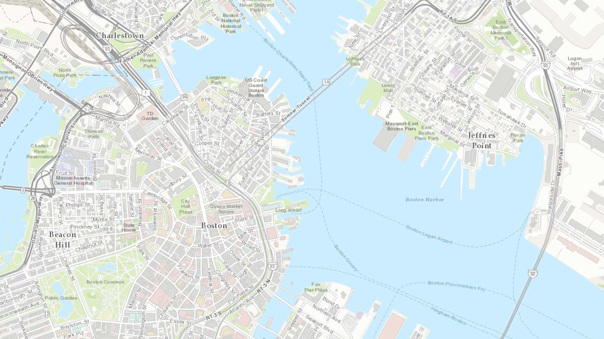
Esri partner ARC-GREENLAB gathered detailed data of the long-abandoned rail link and used GIS to build models for planning and construction.
The app, built with ArcGIS Experience Builder and ArcGIS Survey123, shows whether housing projects can access simpler environmental reviews.
ArcGIS for Autodesk Forma enables architects, GIS managers, and civil engineers to seamlessly incorporate ArcGIS data into their projects.
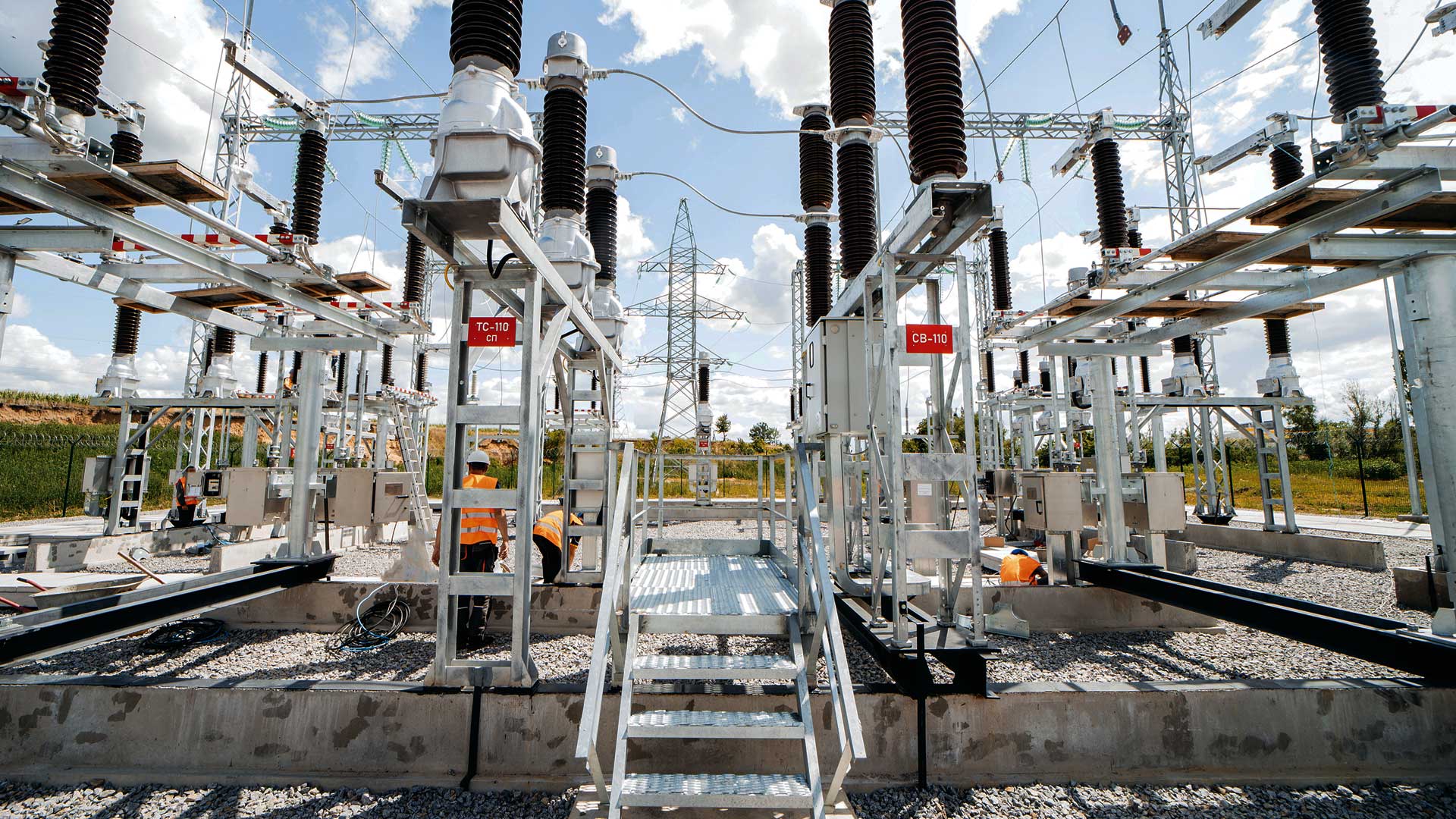
The Autodesk product suite will provide rich, authoritative geospatial reference data from the leading collection of geographic information.