“Pressing the Up Arrow”: A Big Step Forward in Accessibility
The Wisconsin Geological and Natural History Survey and XR Navigation are making complex digital maps accessible to everyone.
The Wisconsin Geological and Natural History Survey and XR Navigation are making complex digital maps accessible to everyone.
To streamline and simplify sidewalk evaluations, the Town of Erie, Colorado, turned to DeepWalk and geospatial technology.
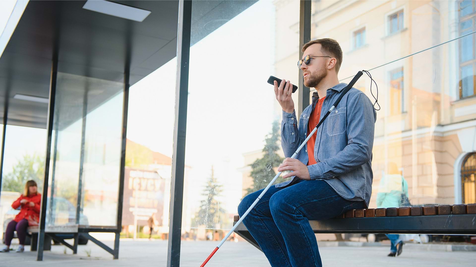
A collaboration in the Netherlands aims to give people with limited vision access to tactile maps to help them gain situational awareness.
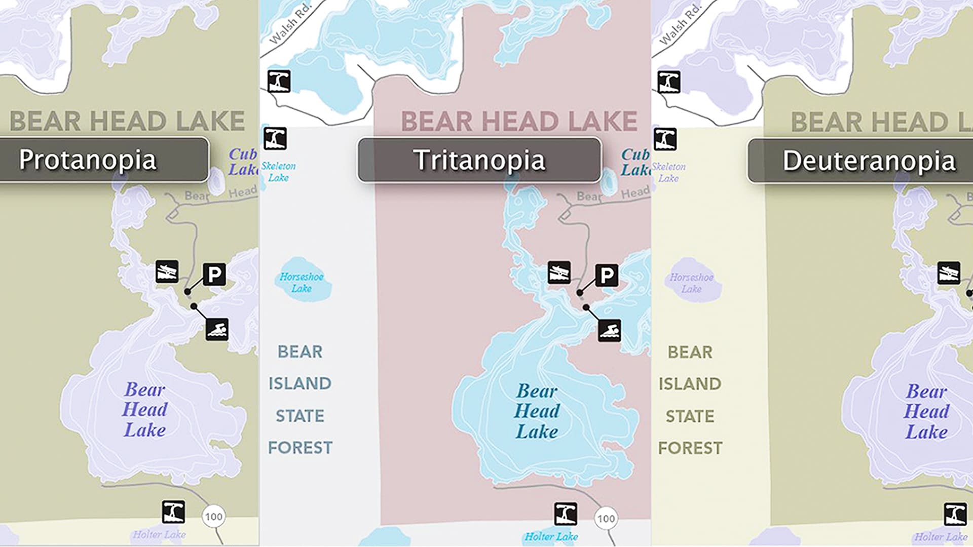
A statewide team ramped up digital accessibility efforts created an online resource center that can help anyone make accessible maps.
Esri’s goal is to make GIS accessible to everyone, and that comes down to good product design and user-friendly features.