Angling for Interdepartmental Success
The Iowa Department of Natural Resources has combined their mapping tools for Iowa anglers into a single interactive web mapping app.
The Iowa Department of Natural Resources has combined their mapping tools for Iowa anglers into a single interactive web mapping app.
It was clear what was on everyone’s mind: enterprise GIS, low-code and no-code app building solutions, developer tools, and geospatial AI.
Victoria’s Department of Transportation and Planning has developed innovative custom web apps that streamline processes and cut manual work.
Participants learned how to architect enterprise GIS, configure custom solutions, extend systems, integrate ArcGIS with AI, and much more.
Attendees were introduced to dozens of new ways to extend and build on ArcGIS technology, all while networking and collaborating.
At the Esri Developer Summit, attendees learned about the latest capabilities of ArcGIS technology—many of which they helped drive forward.
The 2022 Esri Developer Summit was held in person for the first time in two years. It was exciting for attendees to be together again.
A new version of ArcGIS Dashboards that provides better performance, enhanced features, and refreshed designs is available for general use.
GIS is advancing quickly, benefiting software developers in many ways. That was made evident at the 2021 Esri Developer Summit.
ArcGIS Platform provides a new option for developers to access powerful ArcGIS location services and high-quality geospatial content.
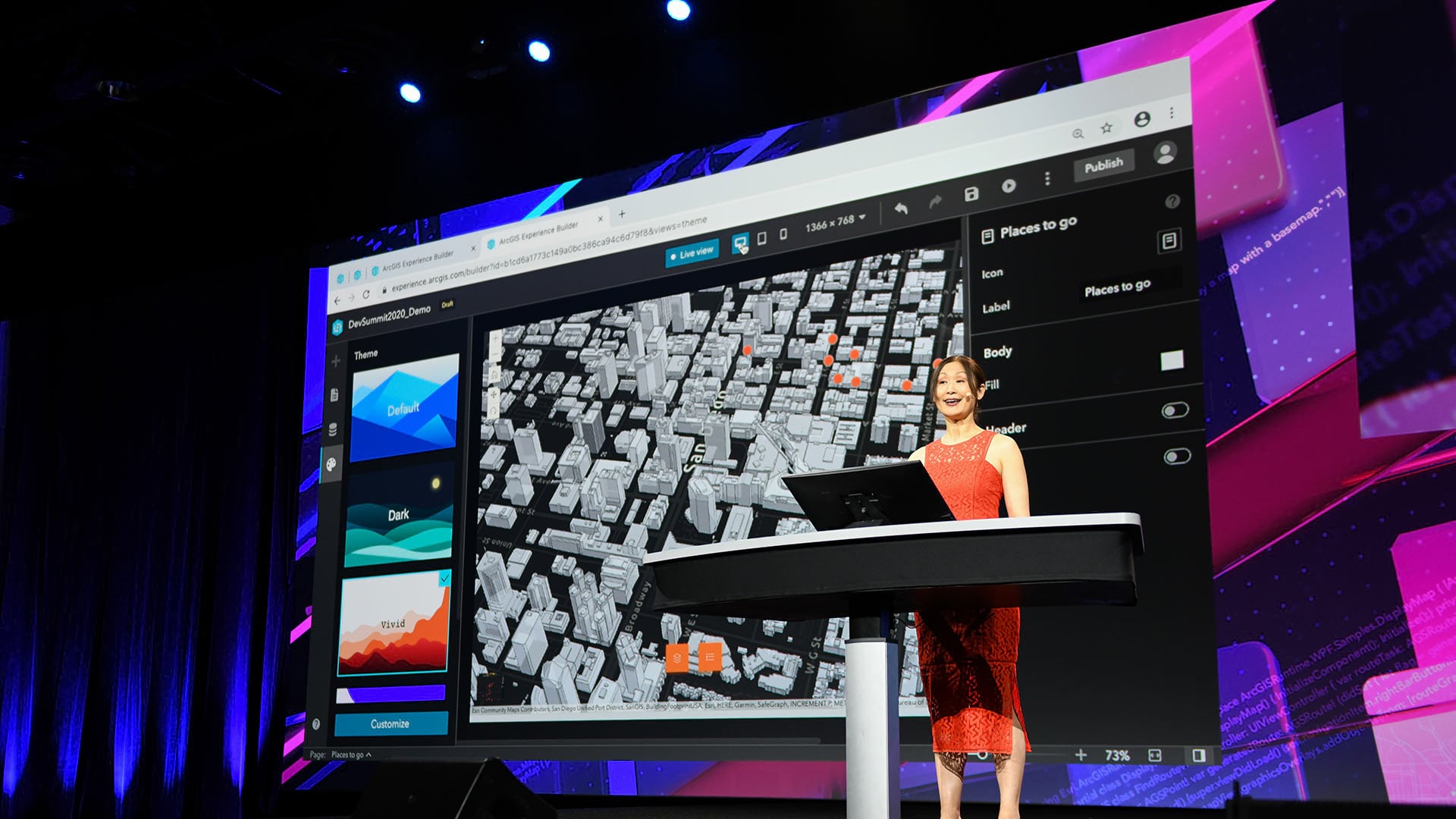
Developers who tuned into the 2020 Esri Developer Summit, held online, heard about the most up-to-date innovations in ArcGIS technology.
Python Scripting for ArcGIS Pro and Women and GIS: Stars of Spatial Science, Volume 2, are the latest titles from Esri Press.