Rich, Location-Infused Business Data Informs Sound Strategies
Data from Esri partner Data Axle has more than 14 million verified business records with valuable information, such as sales volume counts.
Data from Esri partner Data Axle has more than 14 million verified business records with valuable information, such as sales volume counts.
At Tufts University, 600 students have completed GIS training, building spatial literacy that transforms them into astute global leaders.
GIS is a leadership advantage. Leaders at all levels must embrace its potential and integrate GIS into every facet of decision-making.
Combining Dataminr’s risk-detection tools with GIS helps event organizers improve security strategies before, during, and after an event.
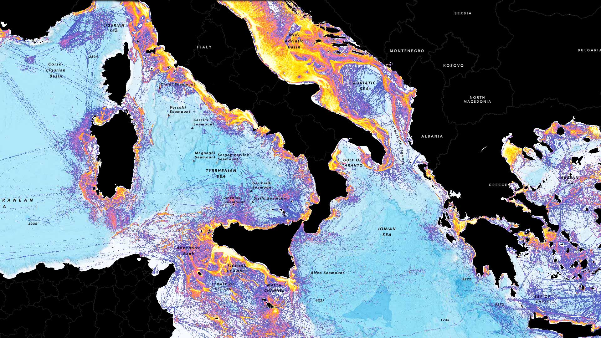
New fishing layers in ArcGIS Living Atlas of the World let users gauge the intensity of fishing operations around the globe.
To quantify its extensive population and determine where they live, Nigeria is going digital with GIS in its new census.
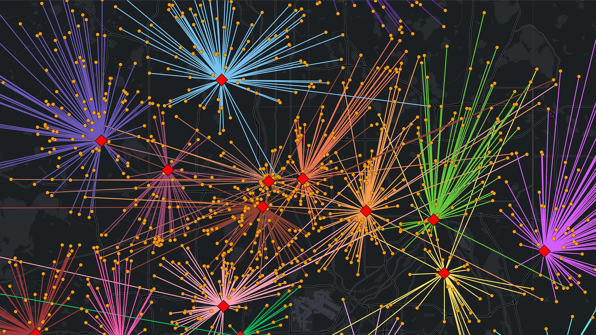
An intelligence analyst transforms NYPD’s use of GIS technology, empowering colleagues to enhance investigations and operations.
Business schools must adapt their curricula to show students how to leverage the latest location technology for the greater good of society.
It can help security guards keep facilities safe, law enforcement agents enact crime control, and park rangers ensure visitor well-being.
ArcGIS AllSource integrates disparate information sources to facilitate advanced analytics.
Thanks to three new data models, capital improvement projects have been streamlined to better meet the airport’s current and future needs.
The Esri Science Symposium at the Esri User Conference is a unique event that showcases how science and geospatial technology intersect.