California Leads the Way in Preparing for Extreme Heat
CalHeatScore—a first-of-its-kind system—ranks heat risk on a scale from 0 to 4 at the ZIP code level, helping people know when it’s too hot.
CalHeatScore—a first-of-its-kind system—ranks heat risk on a scale from 0 to 4 at the ZIP code level, helping people know when it’s too hot.
After using GIS to collect data and survey parents, Miela Hsu presented her findings to the mayor using an ArcGIS StoryMaps story.
The City of Rochester Hills, Michigan, uses ArcGIS Survey123 to track community education and safety device installation.
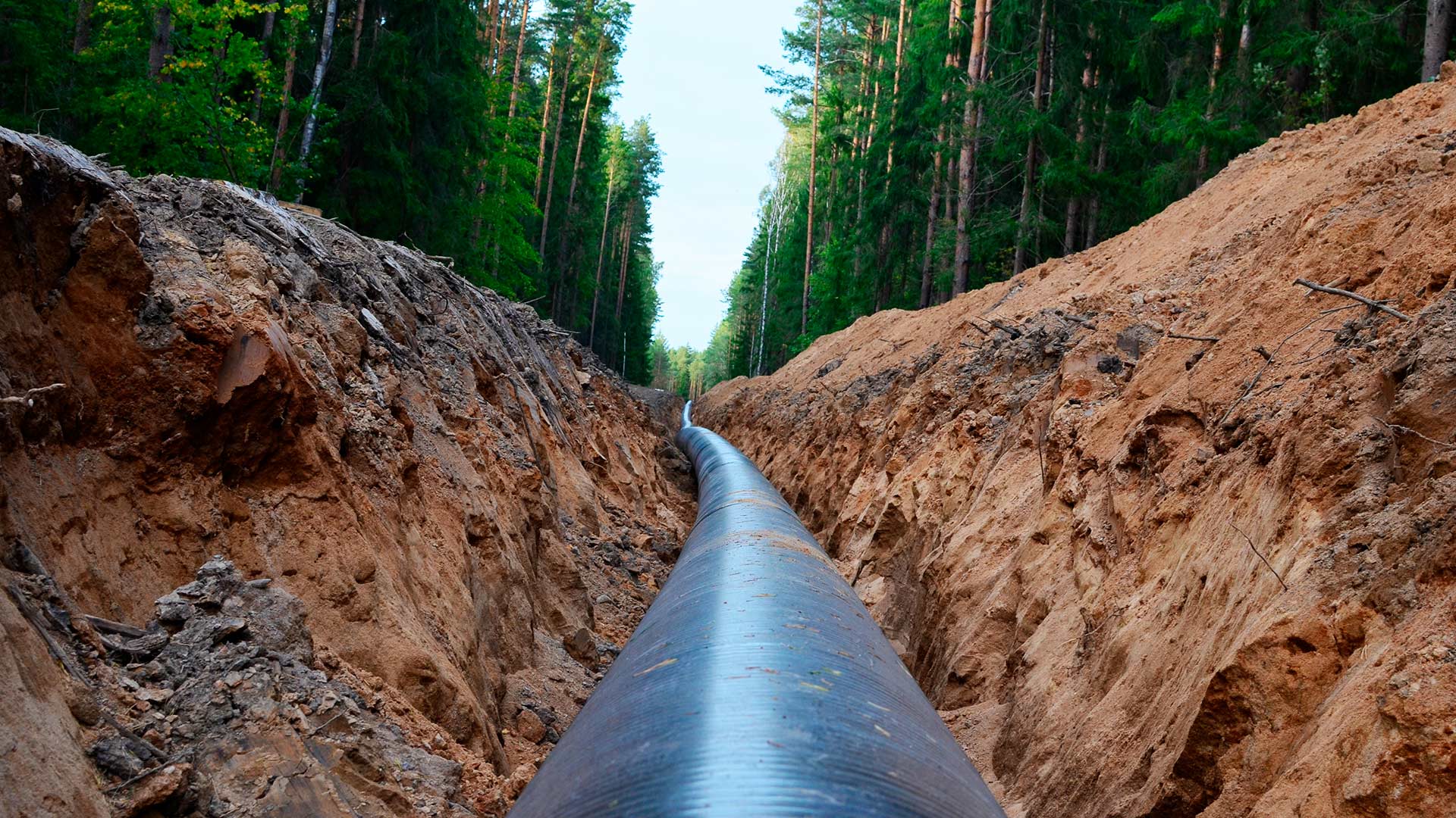
An Esri startup partner graduate helped a US pipeline client comply with federal safety requirements.
Not many schools provide campus maps to local public safety organizations. Denco 9-1-1 and Esri partner GeoComm are changing that with GIS.
Tasked with helping police locate hot spots for traffic stops and collisions, David Ho used ArcGIS Experience Builder to visualize the data.
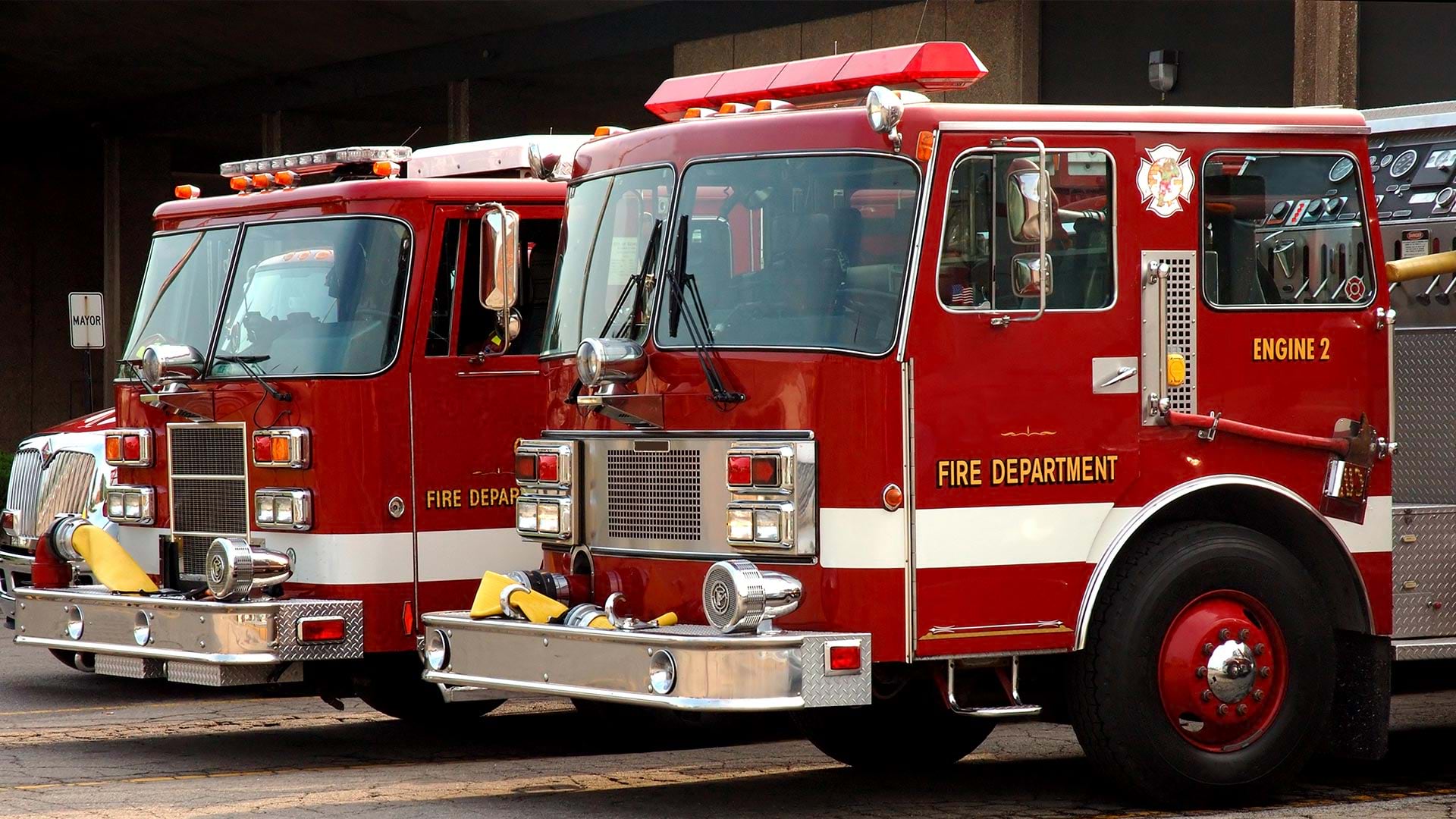
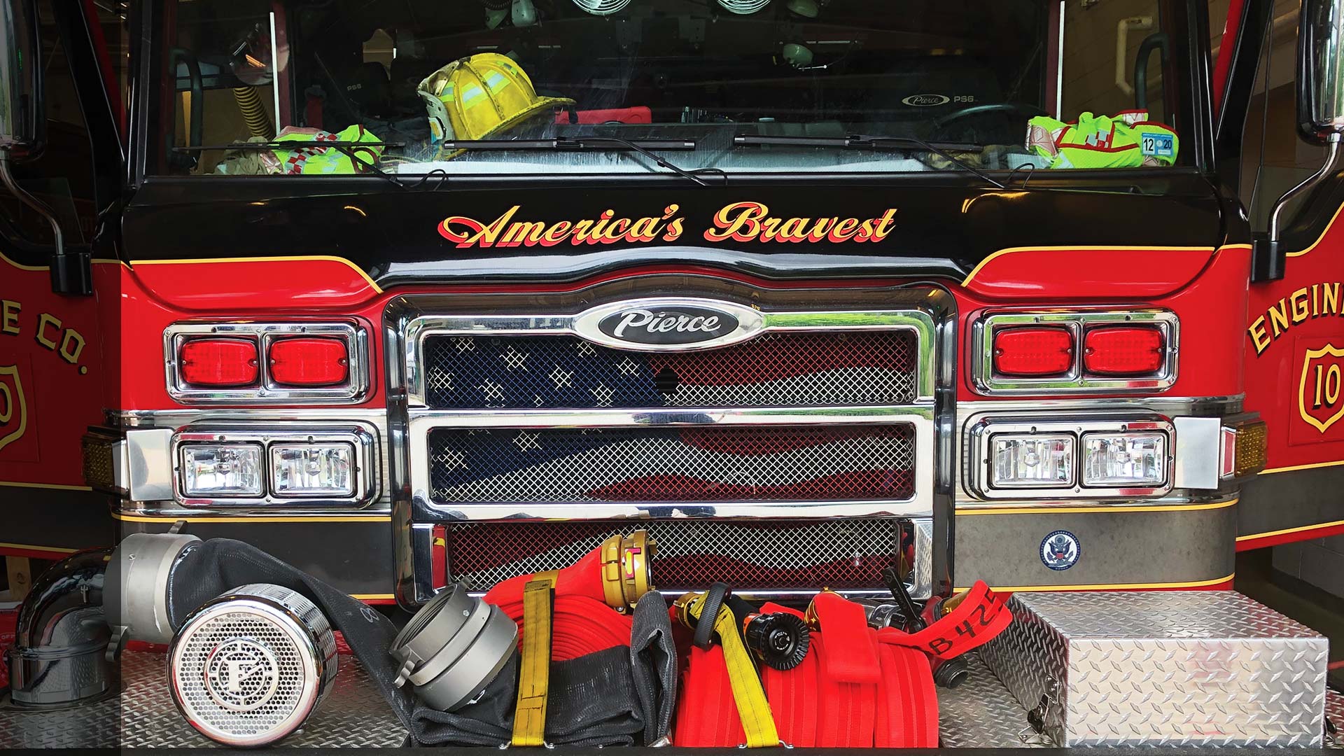
The all-in-one app enables firefighters to easily find asset information, collect and edit data on the go, and report real-time locations.
The government of Queensland, Australia, use ArcGIS AppStudio to help keep its residents and wildlife safe.
ArcGIS Enterprise was key to the four-day drill, which aimed to maximize the government’s emergency preparedness and response efforts.
The police department in St. Petersburg, Florida, has modernized and improved its policing methods using the ArcGIS platform.
Portugal’s Ministry of Internal Administration built a geospatial platform that lets security personnel more easily integrate data.
For the 2019 Rose Parade, the Pasadena Fire Department relied heavily on ArcGIS technology, including the new Tracker for ArcGIS app.