ArcGIS Earth provides an immersive 3D experience for exploring, fusing, visualizing, and sharing data. It is easy to use and can be deployed behind firewalls. Recent releases support KML editing, mobile, and using large data files disconnected from the internet.
Available on the Windows desktop and Android and iOS mobile devices, ArcGIS Earth is a free, interactive globe that is part of the Esri Geospatial Cloud and is fully integrated with the ArcGIS platform.
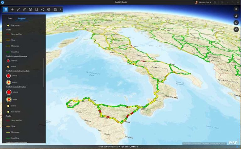
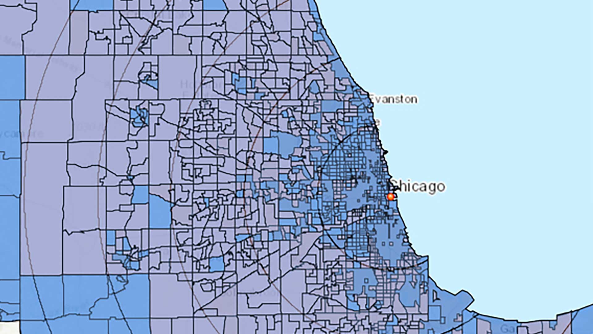
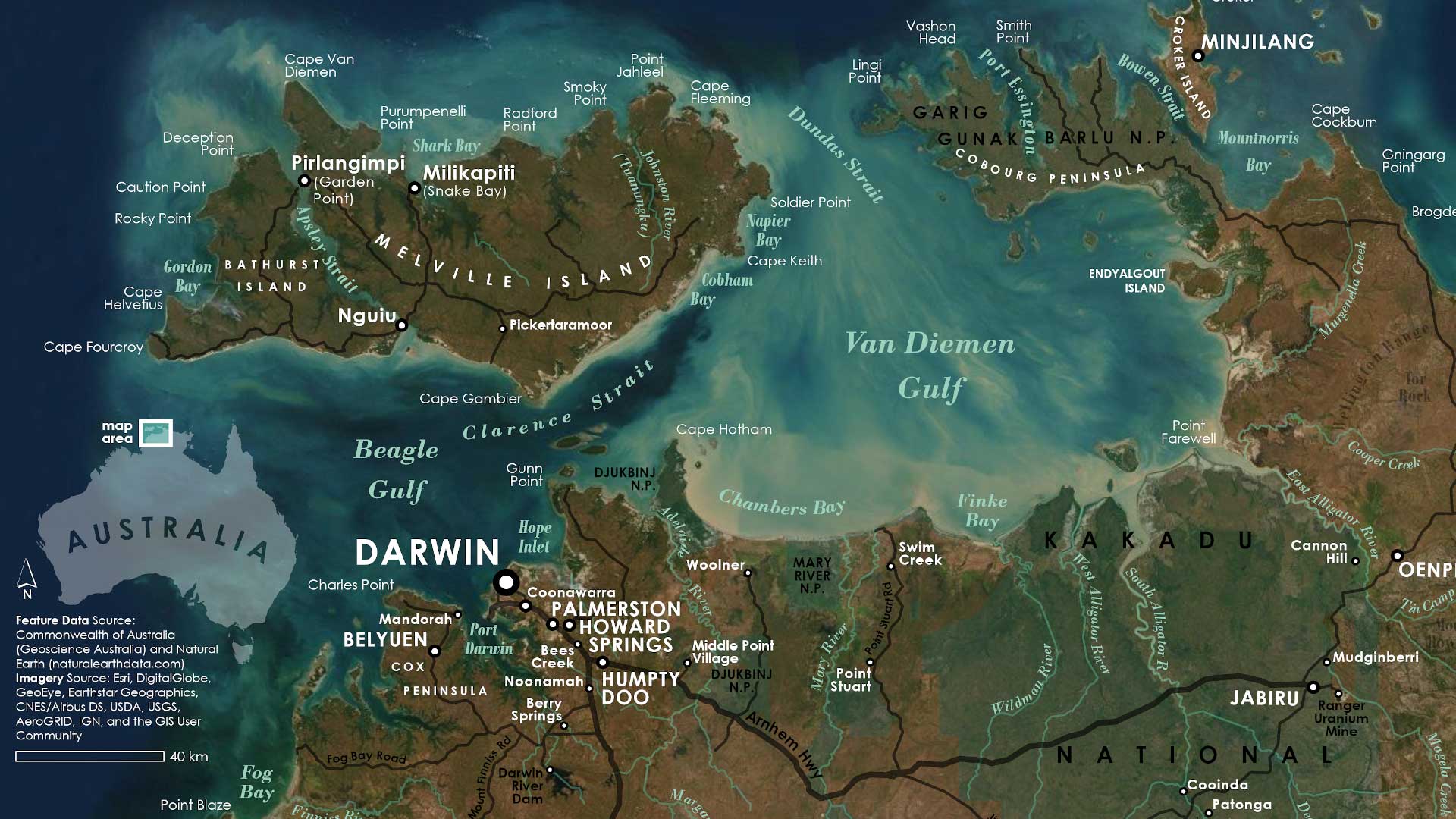
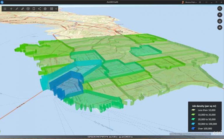
ArcGIS Earth lets anyone explore the world and display data on the globe, tilt and rotate the view, measure distances and areas, add annotations, and perform interactive analysis using line-of-sight, viewshed, and elevation tools. Use items from ArcGIS Online, ArcGIS Enterprise, local data, and web services. Display data by adding it through the interface, dragging and dropping, or using a QR Code. Workspaces are automatically saved. ArcGIS Earth supports multiple coordinate referencing systems including the Military Grid Reference System (MGRS).
Keyhole Markup Language (KML) is a file type for displaying and working with information in simple geographic context that is popular with government agencies that still use legacy systems that generate these XML-based formats. ArcGIS Earth supports file-based workflows and the use of the legacy KML file type, including editing feature geometry, network links, graphic styles, file structure, and error handling, as well as saving the results as a new KMZ file. Users can add, edit, and save KML features such as screen overlays, ground overlays, and network links directly in ArcGIS Earth.
KML geometry editing capabilities include editing vertices, altitude, and extrusion. Layer properties for pop-up info, view, size, color, and transparency can also be edited. Military symbology is supported.
KML editing also includes the ability to reorder the file structure; add new graphics; remove contents; and cut, copy, and paste text. Edited files can be copied and shared.
Mobile scene packages (MSPKs) provide a method for sharing and taking 3D scenes and content offline. This new data type allows for clip, zip, and ship workflows. Create MSPKs in ArcGIS Pro or in apps built using ArcGIS Runtime SDKs. They can be shared across your organizations via ArcGIS Online or and ArcGIS Enterprise 10.7 or higher. MSPKs can be accessed in desktop or mobile versions of ArcGIS Earth.
The addition of this format expands the data types that can be used directly in ArcGIS Earth. This offline workflow has functionality that has been requested by government agencies. ArcGIS Earth is simple to use so knowledge workers and analysts who are not GIS specialists can fuse data and perform exploratory analysis in 3D, even in a disconnected environment.