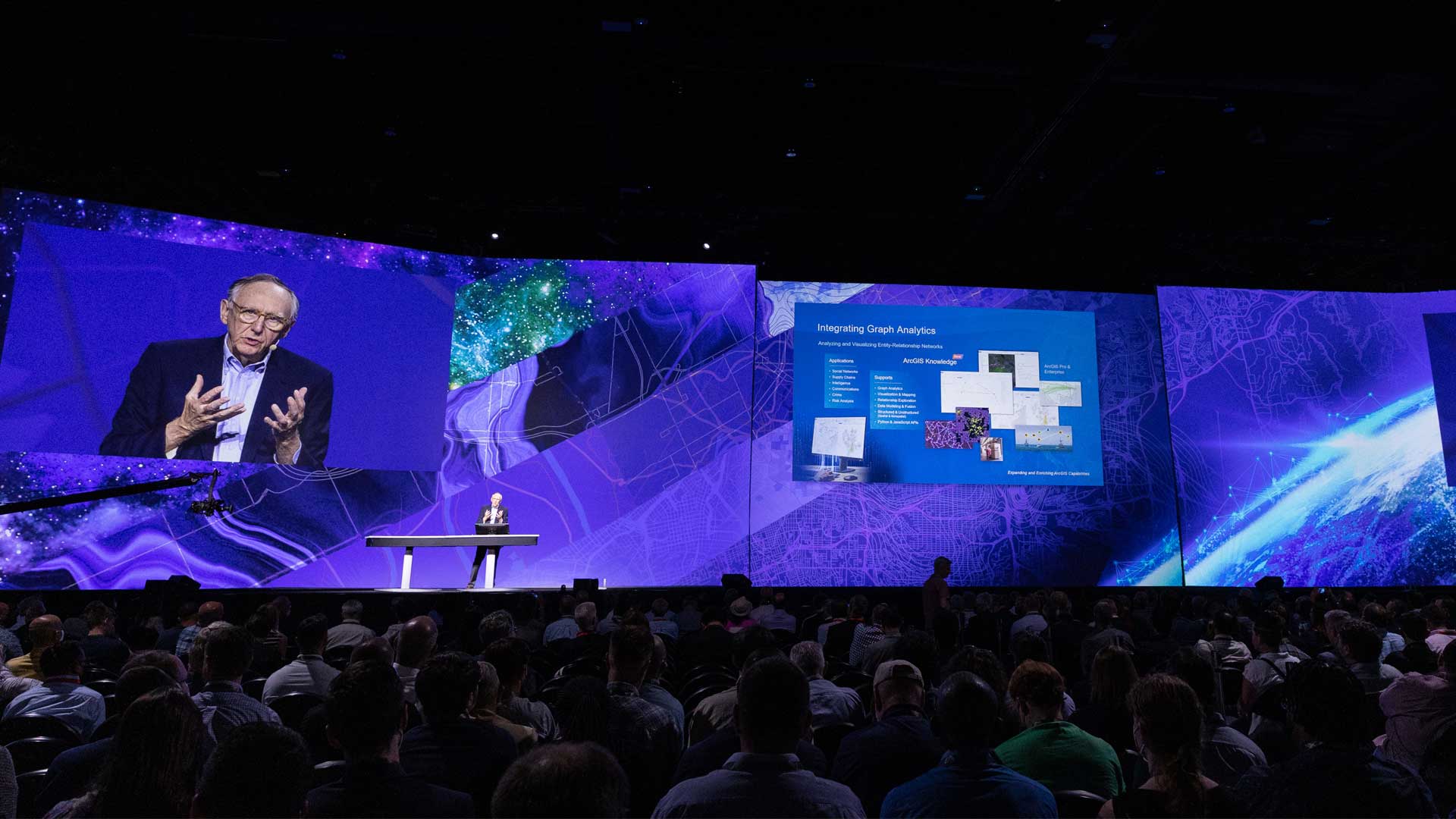
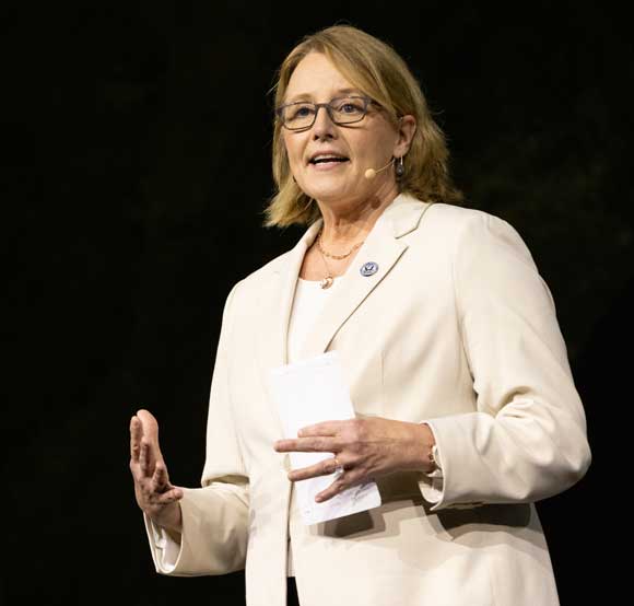
“The nation needs you. My goal today is to empower all of you … empower you to see yourself as part of that mission to build a more prepared and resilient nation,” said Deanne Criswell, who gave a keynote address at the 2022 Esri User Conference (Esri UC).
Criswell, who became the administrator of the Federal Emergency Management Agency (FEMA) just last year, has been working in emergency management at all levels of government and in the private sector for 27 years. In the United States, FEMA is at the tip of the spear, coordinating the nation’s response to the increasingly ferocious impacts of climate change that are evidenced by more frequent and extreme weather events and other natural disasters.
As Criswell noted, the wildfire season on the West Coast has turned into a year-long threat. She recited a roll call of recent fires, floods, hurricanes, tornadoes, and heat domes that have broken records in terms of their severity and destructiveness. She displayed a map showing the frequency of disaster declarations since 2000. It clearly illustrated that while no region has escaped harm, some sections of the country have been repeatedly hammered by disasters. Clearly the risk landscape is all inclusive.
“No one in this room is immune. Every community has been experiencing natural disasters and threats like we have never seen before,” Criswell said.
These impacts are borne by communities, but they fall especially heavily on underserved populations. These people can be more vulnerable because of where they live and the limited resources that are available to them. In response, equity is the foundation of FEMA’s emergency management approach. The agency is harnessing the diversity of its workforce, removing barriers to programs, and emphasizing people first to create equitable outcomes with the goal of “becoming the FEMA our nation deserves.” FEMA programs will lead climate resilience efforts through educating its managers and helping communities become hardened against disasters.
“We have to embrace that our world is changing around us. We have to be better prepared for the threats of the future because our landscape is changing,” said Criswell. “Time is our most precious commodity, and the time is now.”
FEMA is using GIS now to help plan for that future. The predictive capabilities of GIS have never been more important in helping the agency get ahead of the threats it faces and acquiring the data needed to identify risks and drive its decisions. Criswell displayed the FEMA Risk Index Map, which provides what she characterized as a “30,000-foot view of what is going on.” It maps data on the risk level for various natural hazards, anticipated losses, social vulnerability, and community resilience on the county and census tract levels.
It will take more than the dedicated efforts of the agency. “FEMA cannot do this alone,” said Criswell. “This is about mapping common ground.”
Fortunately, one of the strengths of the emergency management community is its reliance on partnerships to bring experts together to share information and collaborate to solve problems. However, with the scale of current challenges, person-to-person collaboration will not be enough. Digital interactions are required to respond with the speed that is necessary.
The FEMA Geospatial Resource Center, a hub site, answers that need. It enables federal agencies and private and nonprofit organizations to contribute their data before, during, and after disasters to help FEMA make decisions that are based on the best data and analysis.
Predictive data and models shared by agencies such as NASA ensure that FEMA is not just solving problems based solely on historical data but is looking at developing trends to strategically invest resources where they will be most effective in mitigating the impact of disasters. “We have to use this information to build a stronger, more resilient nation,” said Criswell.
In emergencies, rapidly identifying who has been affected and where they are can save lives and speed the delivery of aid. Assistance teams from FEMA can be deployed accurately to people in need and proactively register them for assistance. Geospatial intelligence helps FEMA deliver its services to the people who need them where they are, instead of making them navigate the federal bureaucracy to obtain aid. Criswell advocates this approach because “in the end, it’s all about people.”
In concluding her address, Criswell called on the Esri UC audience to contribute their ideas, passion, and creativity to efforts—not only in the United States but around the world—in dealing with the effects of climate change.
“This room is full of the brightest minds. If there is anybody that can help us solve these types of tough problems, it’s everybody here in this room,” said Criswell. “I ask you this: Keep pushing the boundaries, keep innovating and creating, so we can save the most lives and protect the most property, and we can create sustainable communities for generations to come. Remember, from challenge comes change, so let us begin.”