After a pandemic-induced virtual hiatus, the Esri User Conference (Esri UC) was back as an in-person event with nearly 15,000 attendees in San Diego, California, as well as approximately 16,600 virtual participants.
Although the size of the conference has grown substantially from the 11 people who attended the first Esri UC 42 years ago, its goal has remained the same: bringing the GIS community together. This year, users from 142 countries were joined by more than 2,100 Esri staff members to reconnect, share work, and celebrate achievements. (Read more about the awards given for the work of exemplary organizations in “Addressing All Our World’s Challenges,” another article in this issue.)
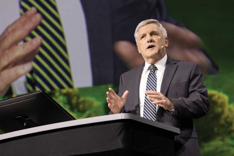
After displaying more than 200 user maps and discussing examples of the outstanding GIS work done by organizations across the world, Esri president Jack Dangermond turned to the theme of the conference, GIS—Mapping Common Ground. He noted that as people attuned to geography, the audience had a special appreciation of the world as “a complex and highly interdependent ecosystem” that is rich in biodiversity but fragile in many aspects and is not well-known and even less understood.
Increasingly dominated by “the human footprint,” the Earth is threatened by human-induced climate change, overpopulation, congested cities, and pollution. Dangermond emphasized that our lack of understanding and our failure to collaborate are the biggest obstacles in dealing with these urgent threats to the Earth and our life on it.
However, he sees mapping and the geographic approach as a powerful means for creating understanding, exploring alternatives, finding solutions, and reaching agreement. Mapping common ground is the foundation for positive action. It requires considering all factors. He views mapping as a fundamental language that lets us tell stories about the world as it is today and the future we want to see.
By enabling the geographic approach, GIS is a powerful system for creating understanding, exploring alternatives, collaborating to find solutions, and achieving consensus. Dangermond listed just a few of the many areas in which GIS professionals are applying the geographic approach. Their work is needed now more than ever and there is no time to wait.
“You are being called upon, at this most critical point in human civilization, to provide the language, to provide the solutions, to provide the methods, and to provide the fundamental infrastructure to help civilization find common ground,” he said.
Taking on Climate Change
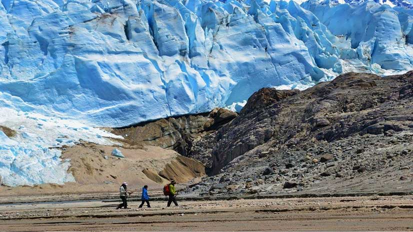
“I’ve got one wicked problem to talk to you about in the next few minutes and that’s climate change. It’s real, it’s here, and it’s scary,” said special guest David J. Hayes. The special assistant to the US president for climate policy at the White House, Hayes asserted that, “Geospatial mapping tools may be the most important weapon we have to fight against climate change.” Hayes emphasized that we need to know not only the current conditions but anticipate and shape the future. “The stakes here for climate couldn’t be higher,” he said.
Working with the federal government, Esri is building a prototype online portal that will provide a central hub for climate-related information, including links to funding sources, climate indicators, and policy maps. US President Joe Biden has also signed an executive order that directs the Department of the Interior to take steps to preserve 30 percent of the US landmass and 30 percent of its ocean by 2030 to safeguard biodiversity.
The need to address climate change and preserve biodiversity were also the themes of Wade Crowfoot, secretary of the California Natural Resources Agency, who spoke at the Plenary Session for the second time. “Climate change is on the march,” he said, underlining the urgent need to deal with fallout from climate change and the drastic decline in biodiversity.
He sees GIS as a powerful tool for improving conditions. “While this can be very discouraging, solutions abound,” said Crowfoot. To describe the solutions that the state is pursuing, he was joined by Nathaniel Roth, chief science and data adviser for the California Department of Conservation. Roth explained the partnership between California and Esri in creating CA Nature. CA Nature is a repository of public data, map applications, and interactive viewers that have been created to support the 30 x 30 California program to preserve 30 percent of the landmass and 30 percent of the coastline by 2030.
See the companion article, “From Challenge Comes Change,” in this issue to learn how the Federal Emergency Management Agency (FEMA) is joining with other organizations in using GIS to respond to natural hazards.
Storytelling as a Bridge to Understanding
Jill Tiefenthaler opened the second portion of the Plenary Session by emphasizing that by combining engaging storytelling with the geographic approach,“we can have a profound impact on the world.” Tiefenthaler is the chief executive officer at the National Geographic Society, a 134-year-old publication that is famous for storytelling using words, photographs, and maps. The National Geographic Society and Esri have had a long and productive partnership based on their joint recognition of the importance of storytelling in building understanding and promoting needed change.
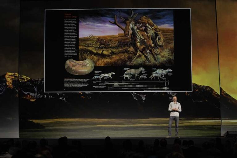
Tiefenthaler leads the global community of National Geographic Explorers such as Ronan Donovan, a keynote speaker at Esri UC who followed her on the stage. Donovan described the eight years he spent in a remote area of Wyoming studying wolf packs. Using data from the GPS collars worn by the wolves, he mapped their travel and hunting patterns to learn where humans and wolves will likely come into conflict.
His project aims to develop strategies for wolves and people to coexist. After relating stories about the years he has spent in close contact with wolves, he urged GIS professionals in the audience to collaborate with him to expand the project. Learn more about his work through his ArcGIS StoryMaps story, “Human-Predator Coexistence Project.”
A Comprehensive Geospatial System
Throughout the Plenary Session, Esri staff introduced new products and demonstrated the additional capabilities of ArcGIS, an integrated technology ecosystem that provides support across many industries and multiple communities including GIS professionals, users of imagery, and developers. ArcGIS is available on premises, in the cloud, and on mobile devices. It supports three fundamental types of systems—a system of record, a system of engagement, and a system of insight—that can be interconnected to form a geospatial infrastructure.
ArcGIS StoryMaps has been an enormously popular method for organizations to communicate information in an engaging way. With the release of StoryMaps, which was announced at Esri UC, individuals now have an easy way to visually tell their personal stories and share them on social media.
Two new products announced at the conference highlight how the analysis capabilities of ArcGIS have been extended to improve understanding and inform decision-making. ArcGIS GeoAnalytics Engine is a standalone product for the spatial analysis of big data in the cloud using the power of distributed processing with Spark.
Another product, ArcGIS Knowledge, blends graph and spatial analysis to solve complex geographic problems using spatial and non-spatial data. This hybrid approach can be applied to understanding complex topics such as criminal activities, consumer spending habits, or the supply chain to drive more informed, data-driven decisions. Both new products demonstrate that more data and more types of data can be included to improve analysis and enhance problem-solving.
In addition to many product demonstrations, representatives from the European Laboratory for Particle Physics (CERN); Egis; the City of Sioux Falls, South Dakota; Energy Queensland; Massachusetts Department of Transportation (MassDOT); and the Jane Goodall Institute gave presentations on their work during the Plenary Session.
The Time Is Now
Dangermond challenged the audience to make a difference at this crucial time, saying, “You [GIS professionals], what you do, and how you do it matters. No one else understands like you do or is equipped to provide the solutions you can. You are privileged and you are being called upon at this most critical point in human civilization to provide the language, methods, and infrastructure for helping the world find common ground. History will judge all of us … based on our success.”
Watch videos from the 2022 Esri User Conference from the Plenary Session.