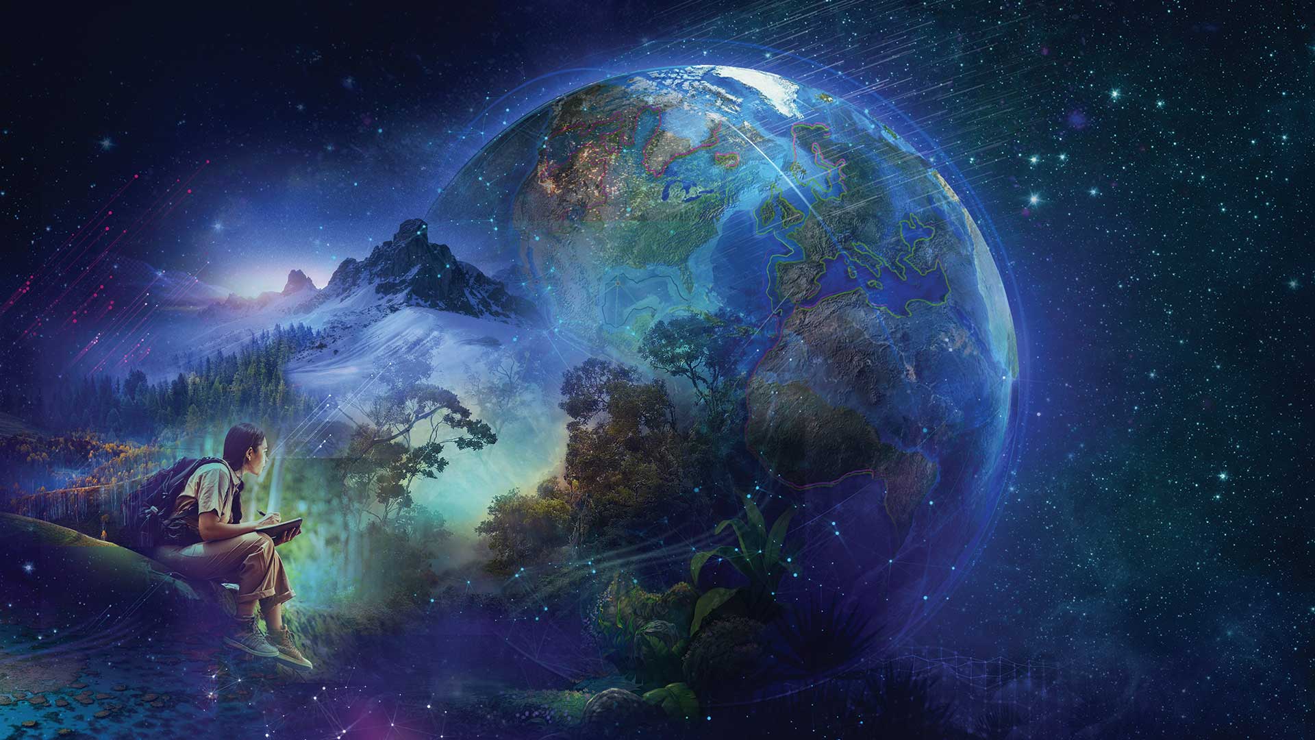
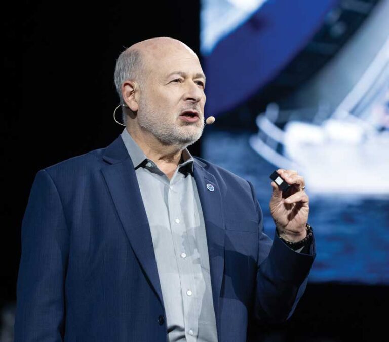
In his keynote address to the 2023 Esri User Conference, Dr. Richard W. Spinrad introduced event attendees to the New Blue Economy.
Spinrad, Under Secretary of Commerce for Oceans and Atmosphere and National Oceanic and Atmospheric Administration (NOAA) administrator, described the New Blue Economy, which is based on knowledge rather than the extraction of materials from the ocean. This approach emphasizes the transformation of NOAA’s massive data stores into information that addresses the world’s environmental and economic challenges. “The New Blue Economy is the concept of taking data and translating it into usable decision support. The New Blue Economy—what Jack [Dangermond] calls Ocean GIS—is the future that is both environmentally sustainable and supportive of economic development,” said Spinrad.
He described data collection as the “heart and soul” of this new paradigm. The massive volume of data NOAA collects is the foundation of the New Blue Economy. Plentiful, current, and diverse data is required to build reliable information products that support policy, operational, and designation decisions and clarify uncertainty.
“The reason we can build this Blue Economy is because not only do we have so much more data…but we also have this diversity of data and this explosion of ways in which we are collecting data,” said Spinrad. This is giving NOAA “an opportunity to build a whole new world around predictability.”
In addition to the collection of physical data, such as water temperature, salinity, and depth, captured from research vessels and sensors, NOAA has new and expanded data acquisition methods. Much larger amounts of satellite data are now acquired and used. In recent years, the rise of commercially available geospatial data has opened up new opportunities for NOAA to purchase an array of datasets. NOAA is also collecting an extraordinary new kind of data: environmental DNA (eDNA), which is DNA that is collected from samples of soil, snow, air, or—in this case—seawater that provide a record of the interaction of organisms with their environment. Satellites are also providing a new type of data by using GPS reflectance to characterize the surface of the ocean and determine such things as the height of waves and the size of tides.
As Spinrad noted, “We’ve got this incredible ability to collect varieties of data, volumes of data, and do amazing things with it.”
But while it had greatly expanded its data sources, NOAA realized that it needed to collect data a little differently. Spinrad characterized this shift by saying, “You need global data to answer local problems.” He explained that this required taking seemingly unrelated types of data and combining them to understand complex systems. “That sounds like GIS to me.”
At that point in his address, Spinrad introduced Dr. Mimi Diorio, a geoscientist at NOAA National Marine Protected Areas Center. Diorio demonstrated how ArcGIS Pro and its machine learning capabilities can model NOAA data to analyze how climate change is modifying ocean conditions and predict how these conditions will modify snow crab ranges in the future. Spatial models can guide future species management and enhance the security of both food and jobs.
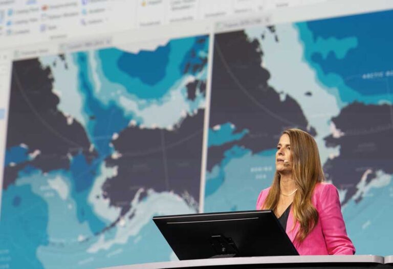
“It’s data-driven decision-making that puts the ‘new’ in the New Blue Economy,” said Diorio. “GIS gives us the tools to translate and transform our data and make it matter.”
She provided additional examples that showed how the 20 terabytes of data NOAA captures every day can be put to work. She noted how the data from 19,000 Argo buoys has “transformed our understanding of the ocean, particularly in the deeper areas. Data from buoys, satellites, and other sensors combine to create an integrated observational system that drives complex global models.” For example, the output of NOAA models can predict when and where harmful algal blooms will occur.
ArcGIS visualization capabilities help meet one of the biggest challenges of the ocean: it’s three-dimensional. Tools in ArcGIS Pro, such as voxels, help better visualize 3D data and understand how a variable like nitrate changes its concentration depending on water depth.
The NOAA GeoPlatform, which provides geospatial data, maps, and analytics using ArcGIS Online, contains 100,000 unique datasets. The agency is working to provide these datasets as web services in ArcGIS Living Atlas of the World. Diorio called these resources “the foundation of environmental intelligence.”
But more than data is required, according to Diorio, who appealed to the audience at the conclusion of her portion of the presentation. “All this rich data only gets us so far. We need you, the global GIS community, to work your magic, apply your local knowledge, your passion, your perspective, your talent, and your expertise. Help us transform this data into action.”
As he picked up the theme of the critical role of GIS in the Blue Economy, Spinrad outlined the diverse factors that must be considered when siting offshore wind turbines in a way that won’t adversely affect highly endangered marine species, such as the North Atlantic right whale. He noted that diverse data must be considered holistically to answer questions such as, “How do we ensure that while building out this renewable energy source we are also preserving the right whale? How are we going to know that the wind will be there in 30 years?” The New Blue Economy is all about prediction and understanding the environment in a way that builds a body of environmental intelligence to inform decisions.
Commercial interests must be balanced with conservation concerns to achieve the goal of preserving 30 percent of the planet’s water as well as its land by 2030, Spinrad emphasized. The New Blue Economy enables decision-making that supports marine conservation. NOAA is using GIS to evaluate the uniqueness of areas and incorporate indigenous knowledge in its process of locating six national marine sanctuaries.
The development of prediction systems for the New Blue Economy relies not only on data, models, and information products, but also on people and partnerships. This work requires transdisciplinary people who work cooperatively. Spinrad said he believed that Esri was able to stand up the Climate Mapping for Resilience and Adaptation (CMRA) portal so rapidly because NOAA and Esri had a 35-year working relationship.
Echoing Diorio’s earlier appeal to the GIS community, Spinrad made a similar appeal to GIS experts, entrepreneurs, and data wizards to build out the New Blue Economy, which is “what we need to create the oceans we want for the world we want.” He concluded with a quote from oceanographer and ocean defender Sylvia Earle: “It’s now time to go make waves.”