We begin this new decade with more powerful GIS tools for seeing and understanding the problems we face and devising better solutions for them. The integration of big data processing and analysis and the incorporation of artificial intelligence (AI) in image analysis across the ArcGIS platform furnish context for decisions to a degree that was not previously possible. Several articles in this issue demonstrate how organizations are benefiting from these capabilities.
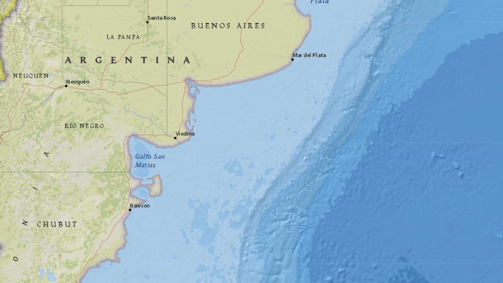
Monitoring the 4.8 million square kilometers that encompass the Argentinean Exclusive Economic Zone is the mission of the Prefectura Naval Argentina. Not only is this task profoundly geographic in nature but it also requires real-time data—and lots of it—to identify and track illegal fishing, smuggling, and drug trafficking activities in this vast area. Rapidly analyzing and consolidating data across the organization on the ArcGIS platform have given Prefectura Navel Argentina a comprehensive view of the area under its jurisdiction.
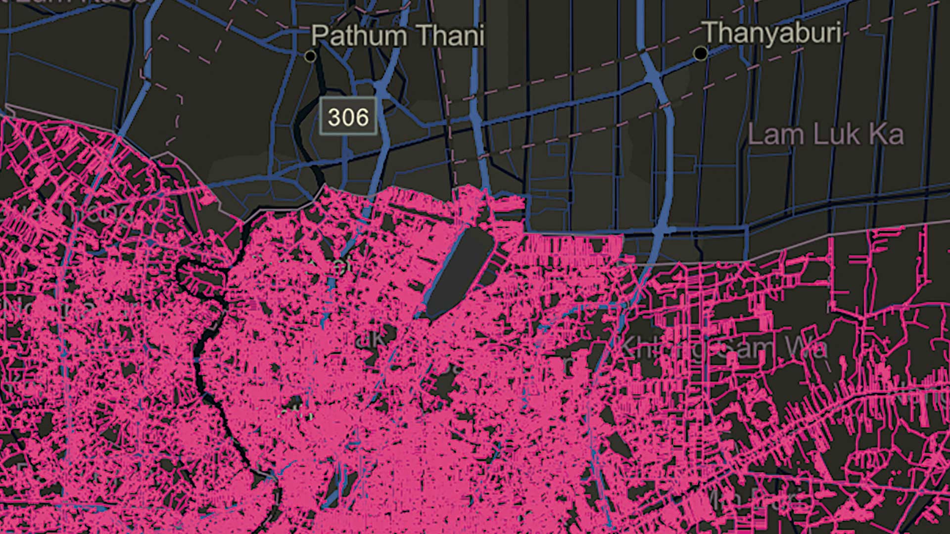
In an interview in this issue, Frank Avila, director of the Commercial GEOINT Discovery & Assessments Office at the National Geospatial-Intelligence Agency (NGA) explained why the agency is making much greater use of the AI capabilities in ArcGIS. This strategy has made NGA analysts more efficient by eliminating repetitive tasks and more effective by enabling them to consider more information, more rapidly so they can make decisions that are both better and timely.
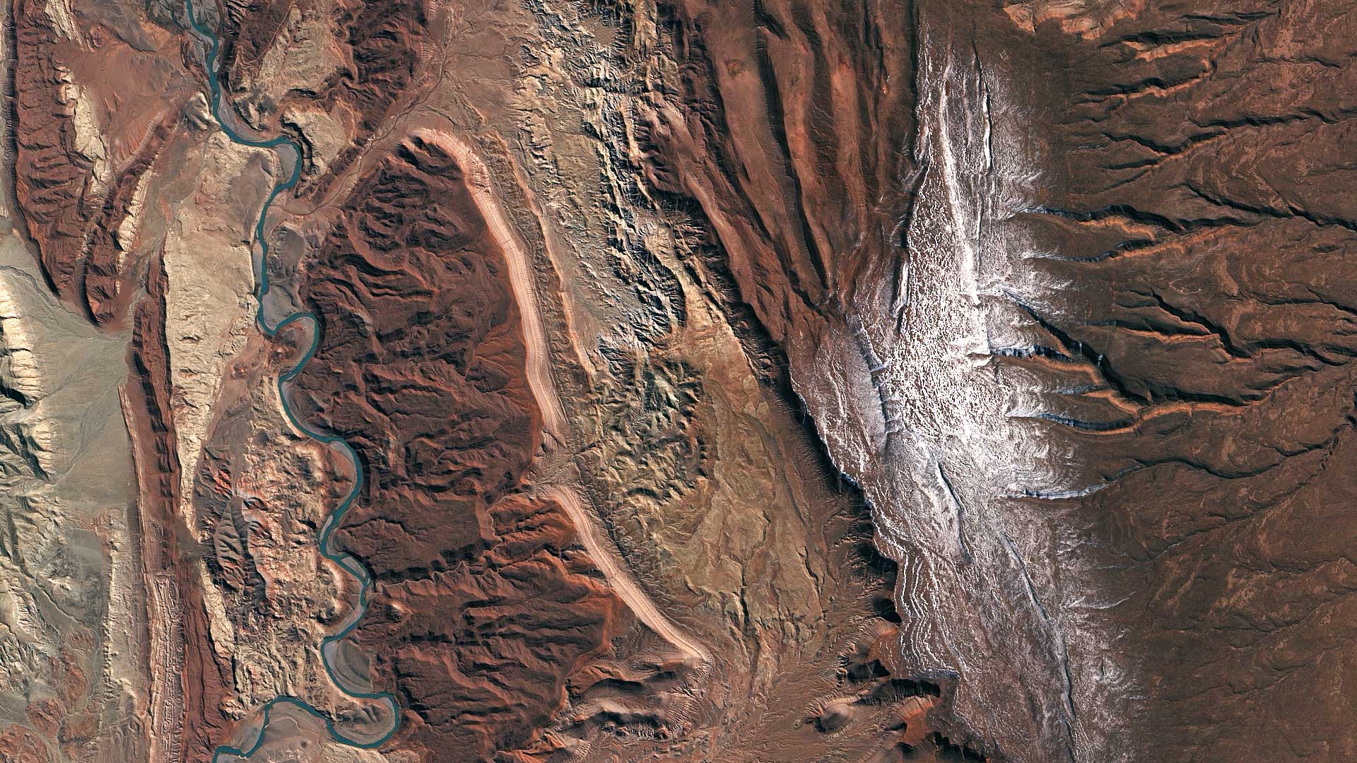
Another article describes how the NGA is using AI to improve the collection and processing of satellite imagery. By eliminating visual interpretation of imagery and adopting a streamlined process that incorporates a computer vision algorithm, NGA can use lower-resolution imagery and fewer staff to obtain superior results when monitoring port activity.
The rapidly evolving data processing and analysis capabilities in GIS are helping organizations enhance understanding of the challenges they face and take more effective action.
About the author