As Esri president Jack Dangermond often observes, “Geography is the science of our world.” In the 50 years since its founding, Esri has developed GIS into the location technology that uses geography to see relationships, interdependencies, and patterns in the complexity of the Earth at scales from the local to the global. This perspective reveals innovative solutions and informs decision-making to better deal with the challenges the world faces.
That technology has enormously expanded from mapping software to encompass a plethora of tools for analysis and visualization, models, data integration capabilities, and data services that are available from the Esri Geospatial Cloud and ArcGIS Enterprise in apps, solutions, and desktop software.
Articles in this issue illustrate how Esri and its location technology enable action around the world at all levels.
- On the local level, the Smart Community Information System approach is fostering truly smart communities that are more efficient, livable, and sustainable.
- On a regional level, Esri technology is supporting strategies for preserving water, soil, and wildlife habitat and identifying land that must be protected.
- On the national level, an nongovernmental organization is using ArcGIS for promoting best practices in the agricultural sector, which is so critical to the well-being and economic development of the people in Ghana.
- On the global level, Esri is supporting the E.O. Wilson Biodiversity Foundation’s Half-Earth Project by helping map the world’s known species as part of an effort to preserve the Earth’s biodiversity through a system of natural reserves.
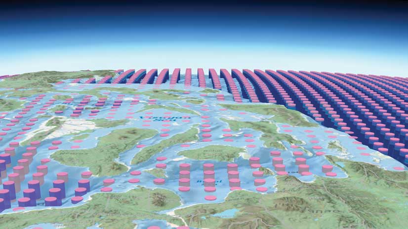
- Esri, originally as a collaborator, and now as an associate member of the Group on Earth Observations (GEO) has been working on GEO initiatives. Together Esri and project lead US Geological Survey (USGS) have devised a methodology to map global ecosystems that has so far produced the global Ecological Land Units (ELU) and Ecological Marine Units (EMU).
These articles also show how a spatial perspective enabled by location technology can be transformative. Instead of evaluating projects or programs on criteria that is narrowly defined by a discipline, such as engineering or planning, a geographic approach employs a more holistic and visual approach that encourages the collaboration and consensus that leads to intelligent action.
About the author