In August 2022, the University of Redlands welcomed Cohort 42 to the Department of Geographic Information Science, marking the program’s twentieth year offering personalized GIS graduate education. Since its inception, more than 450 GIS professionals have graduated from the program and are pursuing careers in consulting firms, health care, nonprofit organizations, local governments, businesses, and other fields.
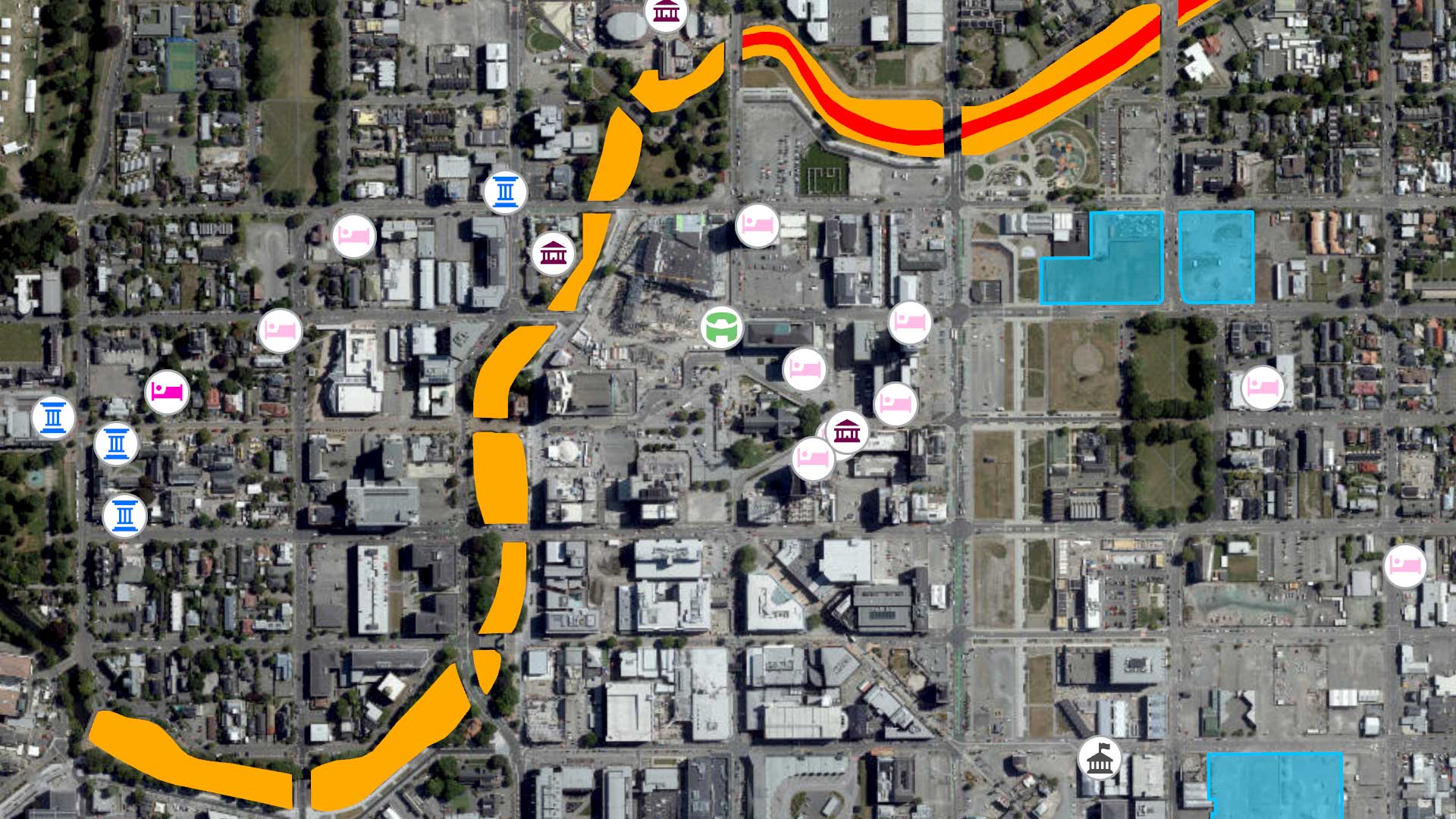
According to the US Department of Labor, the need for people who understand geospatial technology and can apply it is expanding. The skills now required range from software proficiency to programming and data management and analysis. This demand will continue as geospatial technology is applied to an increasing number of industries and disciplines, from emergency management and public health to business, transportation, and urban planning.
This has led to a substantial increase in Master of Geographic Information Systems programs since 2000 that provide a professional education and include general business and management skills as well as technology-specific knowledge and software skills. A master’s degree in GIS provides the expertise in geospatial technology and management to succeed in the public or private sectors.
The University of Redlands Department of Geographic Information Science offers two graduate degrees: a master of science in geographic information systems (MS GIS) and a master of GIS (MGIS). Each year, two cohorts of students are enrolled. The program has four full-time faculty and adjunct faculty from the Center for Spatial Studies and Esri.
The MS GIS degree is designed for professionals and recent undergraduates who want to enhance their knowledge of the analysis, management, and communication of geographic information. It is available as a one-year program that includes 10 months of coursework and the completion of a major individual project that addresses the needs of a real-world client. The two-year program consists of six 14-week semesters that include summer attendance.
Graduates from either program will gain an in-depth understanding of geographic information systems and theory and develop strong technical skills. The MGIS degree is an accelerated program for professionals who want to deepen their knowledge of the analysis, management, and communication of geographic information. The in-person program consists of 8 months of coursework and a 400-hour internship. Coursework for the online program spans 20 months and includes a 400-hour internship.
Both master’s degree programs include six Esri training courses covering the use of ArcGIS Pro, ArcGIS WebApp Builder, and ArcGIS Enterprise and include topics such as geoprocessing scripting, managing geodatabases, and sharing GIS content. Students also have unlimited access to Esri online training classes.
Blythe Spendlove, who graduated with an MS GIS degree in 2018, is a business systems analyst for the Southern California Gas Company. While completing her bachelor’s degree, she took an introductory GIS course and fell in love with the discipline.
When she was considering pursuing a master’s degree, she realized that GIS could be a smart career move if she found the right school. “I didn’t want to go to a school that just taught students how to use GIS programs,” she said. “I already knew that. I wanted to dive deeper into the science of GIS.
Ultimately, I chose the University of Redlands because I felt it would give me the best education.” Her coursework, which included GIS programming, remote sensing, projections, and project and database management, provided her with a solid foundation that has allowed her to excel in the field.