This special grant package is designed for small nonprofits based in the United States. Grants include ArcGIS Online, ArcGIS Pro, and ArcGIS Business Analyst; maps, data, and apps; and training and support.
With ArcGIS Online, organizations can create and share web-based interactive maps. The subscription also includes essential apps such as ArcGIS StoryMaps, ArcGIS Hub, ArcGIS Survey123, ArcGIS Dashboards, and ArcGIS Instant Apps.
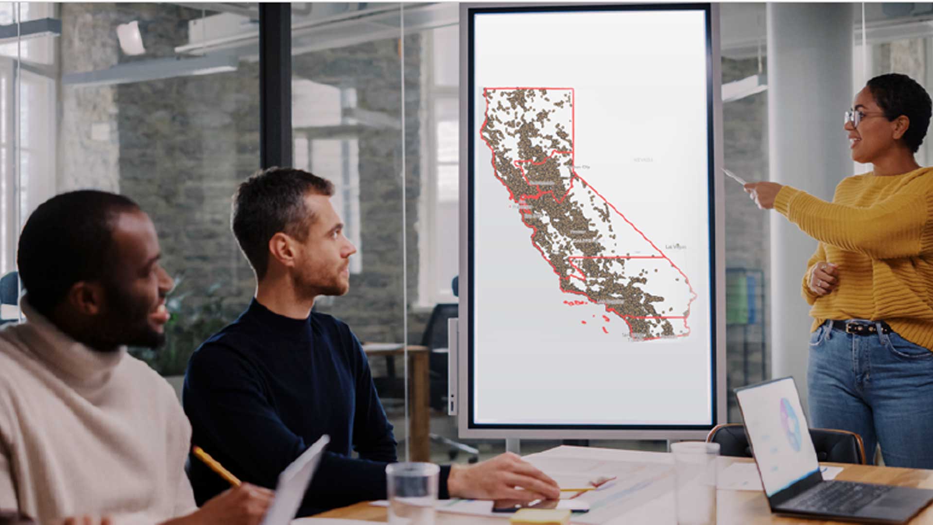
ArcGIS Pro is desktop GIS that supports advanced data visualization and analysis. Its scientific analytical tools can be used to identify patterns, make predictions, and answer questions.
ArcGIS Business Analyst is the premier tool for site selection, customer segmentation, and territory design. It combines access to proprietary data on locations and property costs with data about prospective customers, clients, and patients. The results of analysis can be shared as customizable infographics.
The grant gives access to the constantly growing collection of curated data layers, maps, and apps available in ArcGIS Living Atlas of the World. This constantly updated data source can be used to better understand communities, as input to analysis, and included in reports and presentations.
ArcGIS Living Atlas provides access to maps that use 2020 decennial census data on topics such as race/ethnicity, group quarters populations, and vacant housing; and maps of the most recent American Community Survey data on social, economic, demographic, and housing topics.
ArcGIS Living Atlas also includes maps on health topics that visualize data from the Centers for Disease Control and Prevention (CDC). It has apps that use real-time data feeds on natural disasters and air quality and can identify populations that could be adversely affected.
Of special interest to many nonprofits, ArcGIS Living Atlas has maps of communities that have been identified by the Council on Environmental Quality as disadvantaged according to Justice40 Initiative criteria and maps of historical redlining for neighborhoods in 143 US cities. These maps can be used in dashboards and instant apps.
The grant also provides unlimited access to self-paced e-learning courses. Discounts on instructor-led or private classes are available through the program. Resource websites and forums let members of nonprofit organizations connect and collaborate with other GIS users. To learn more about the Esri Small Nonprofit Organization Grant Initiative, visit esri.com/nonprofitgrant.