Join the ArcGIS Pro 2.3 Beta
If you have a current ArcGIS Pro license, please join the early adopter program and try out some cool new features in the latest version of Pro.
If you have a current ArcGIS Pro license, please join the early adopter program and try out some cool new features in the latest version of Pro.
Learn how to work with the Terrain layer, a versatile raster elevation layer that's available from the ArcGIS Living Atlas of the World.
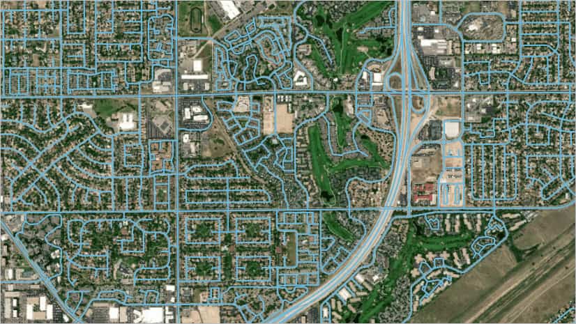
Kyle Bauer of Esri walks you through the process of creating a network dataset from street centerline data.
Planetary geologist Paul R. Byrne explains how mapping plays a pivotal role in unlocking the secrets of Mercury.
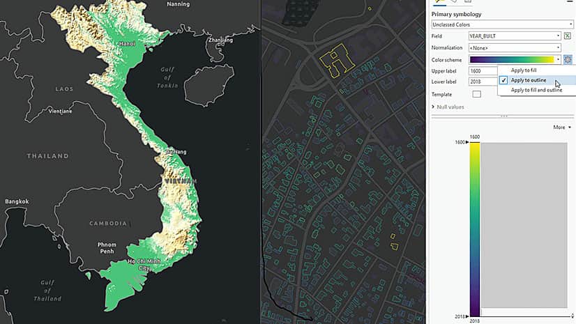
ArcGIS Pro includes some fantastic new labeling capabilities to suit your map, features, and individual mapping elements.
You can use ArcGIS Pro to view 2D and 3D representations of your data simultaneously by docking map and scene views side by side.
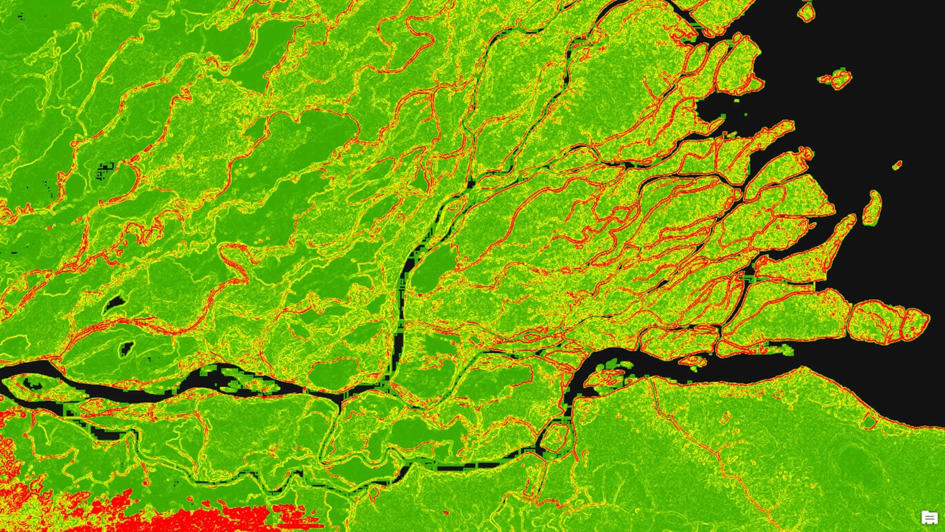
Image classification means extracting information classes from a raster image to create thematic maps, analyze land cover...
Build a 2D map of the city of Venice, Italy, and convert the map into 3D to analyze the threat of flooding.
Esri software users raised some great questions about ArcGIS Pro during a recent live training seminar. Esri’s Drew Flater provides the answers.
Some simple and elegant ArcGIS Pro features will cause you and other mappers to cheer.
You can use ArcGIS Pro to create a stunning chart of the night sky. Heather Smith from Esri created a map and tutorial to show you how to make...
An Esri intern left what she describes as an "ArcMap bubble" to try ArcGIS Pro. She thinks college students who take GIS courses should do...