Create and Manage Metadata in ArcGIS Pro
Esri's Colin Childs walks you through the steps for creating and managing metadata in ArcGIS Pro.
Esri's Colin Childs walks you through the steps for creating and managing metadata in ArcGIS Pro.
Learn basic lidar concepts and best practices to manage, edit, visualize, and share lidar-derived 2D and 3D information products in ArcGIS Pro.
Learn basic lidar concepts and best practices to manage, edit, visualize and share lidar-derived 2D and 3D information products using ArcGIS Pro.
Kory Kramer and Olivia Iannone from Esri demystify how editing works in ArcGIS Pro and show you how your data is kept safe from editing mishaps.
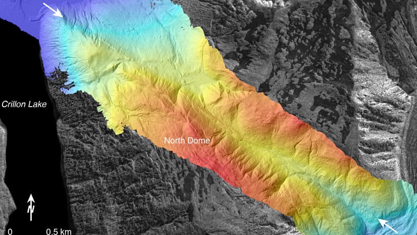
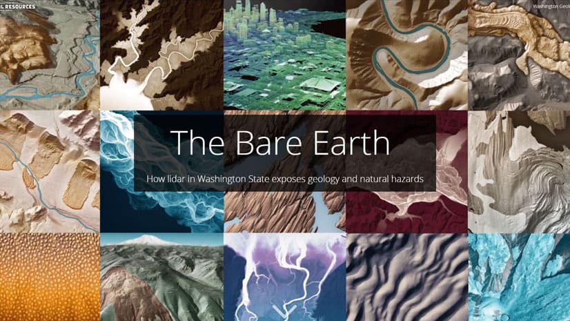
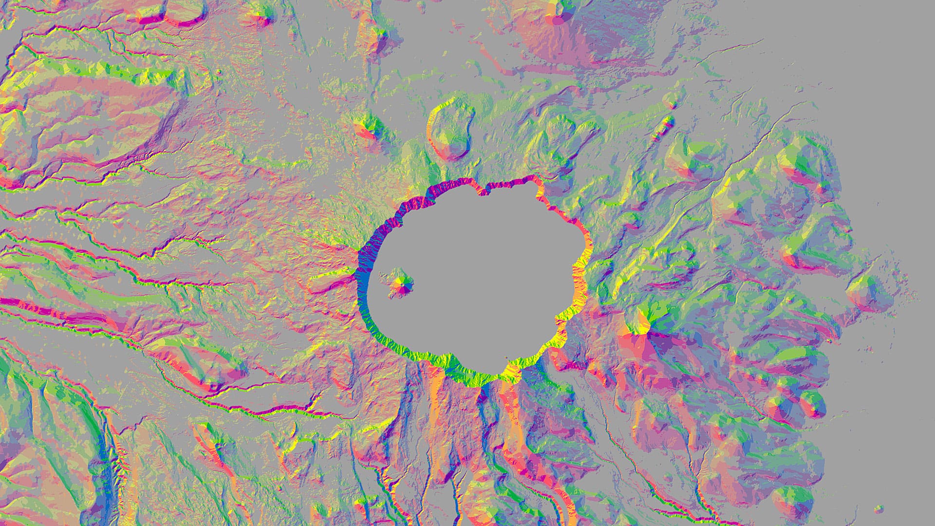
See how using lidar in ArcGIS Pro can reveal geology and natural hazards such as landslides and volcanic activity in Washington State.
With Amazon AppStream 2.0, you can stream ArcGIS Pro from the cloud.
Esri cartographer John Nelson walks you through how to craft a stunning vintage-style poster of Yellowstone National Park.
In Utah, knowing where and when the wildlife travel reduces the chance that planes will strike pelicans and vehicles will hit moose and deer.
Get tips on how to use ArcGIS Pro and Adobe Photoshop to create a map that expresses the feeling of a location.
You can use aspect-slope maps to identify landscape features such as ridges or predict fire risk. Learn how to make one using ArcGIS Pro.
Livia Betancourt Mazur experimented with creative styles, finally using the George Washington style to make a map of the University of Minnesota.
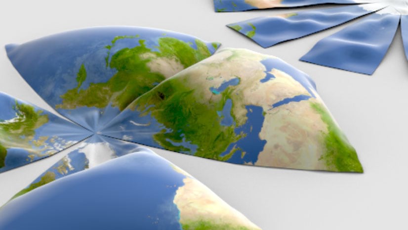
From Aitoff to Winkel Tripel, here are 68 map projections that you can use in your maps created using Esri ArcGIS 10.7.1 or ArcGIS Pro 2.4.