Add Geotagged Photos to ArcGIS Online Web Maps
While you can’t drag and drop geotagged photographs directly to your web map in ArcGIS Online, there’s another simple way to add them to maps.
While you can’t drag and drop geotagged photographs directly to your web map in ArcGIS Online, there’s another simple way to add them to maps.
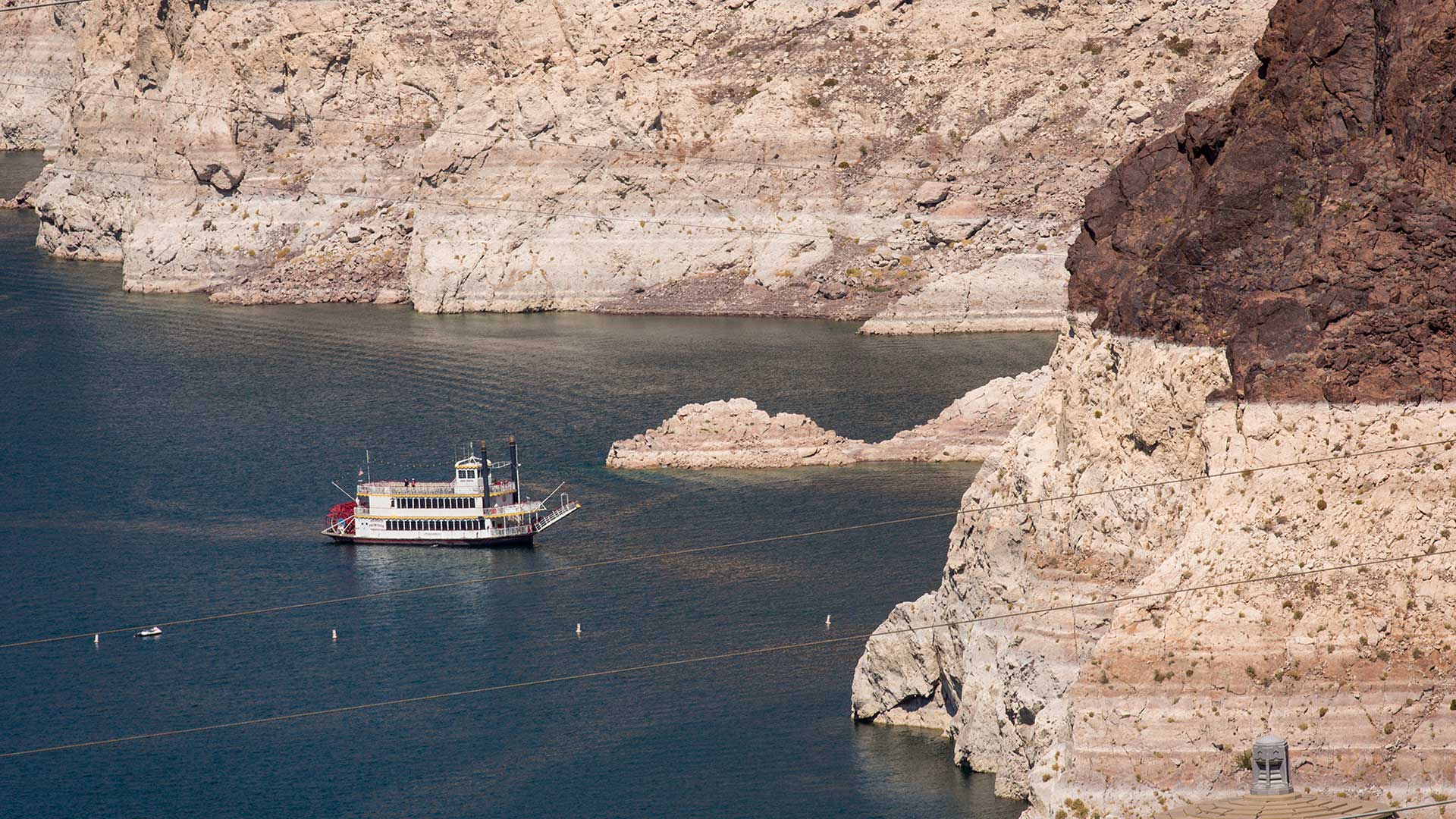
Will Arizona run out of water? The Arizona Water Blueprint, a new water mapping tool, visualizes the data and tells the story.
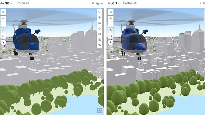
Learn about the latest improvements to Scene Viewer, which gives you the ability to author realistic and beautiful 3D scenes in applications.
Color ramps were updated for the Map Viewer beta. You will find more than 300 color ramps in the Map Viewer, most being colorblind friendly.
Map Viewer beta includes a new layout for authoring maps and more pop-up configuration capabilities, printing layouts, and smart mapping tools.
When creating thumbnails for items in ArcGIS Online, you can go beyond the basics and establish a unique style or brand. Here's how.
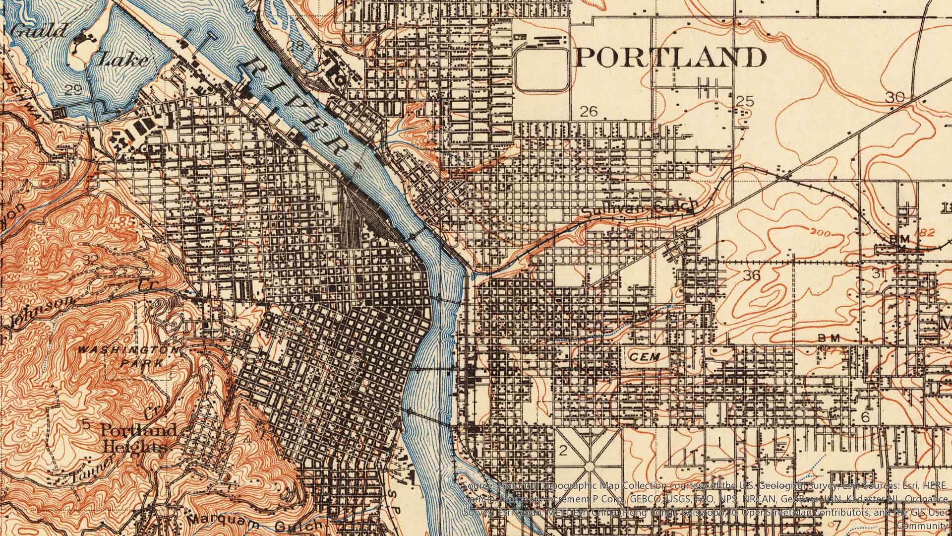
USGS Historical Topographic Map Explorer app was recently updated to give you the ability to save historical topographic maps to ArcGIS Online.
This course teaches you how to share geospatial resources to an ArcGIS Online organizational site or an ArcGIS Enterprise portal website.
In this tip, you will learn how to use the Attachment Viewer configurable app template to view photos and other feature attachments.
A non-profit in New York uses Esri technology to analyze data on homeless children, producing maps and infographics to inform policy decisions.
Download the City Transformation Starts with a Hub e-book to learn how to use a hub framework and easy-to-configure platform for collaboration.
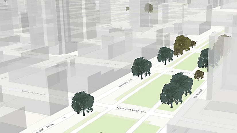
In this Learn ArcGIS lesson, you will learn to turn 2D tree data into 3D scenes of trees using Scene Viewer in ArcGIS Online.