Fruit of the Loom Relies on the Power of Where
Beth Rogers, senior director of data science at Fruit of the Loom, talks about how her team uses GIS to understand customers and supply chains.
Beth Rogers, senior director of data science at Fruit of the Loom, talks about how her team uses GIS to understand customers and supply chains.
The Philadelphia Police Department uses ArcGIS technology to reduce and investigate crimes.
The Esri Business Leadership Forum focused on how location intelligence, digital transformation, and advanced geospatial analysis drives growth.
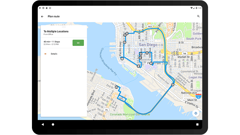
Discover the new features and updated user interface in Navigator for ArcGIS, a turn-by-turn, voice guided navigation app for iOS.
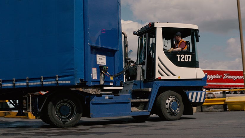
Ferry operator P&O Ferries uses Esri ArcGIS technology for load planning, which saves in vessel turnaround time and about $276,000 annually.
Where will you be and what will you be doing on November 13? If you are a GIS professional or just love mapping, consider hosting a GIS Day.
Download the City Transformation Starts with a Hub e-book to learn how to use a hub framework and easy-to-configure platform for collaboration.
Kristian Ekenes from Esri walks through how to use ArcGIS API for JavaScript to create histograms as legends.
Brian Cross, director of Professional Services at Esri, says to develop a geospatial strategy before diving into a digital transformation.
Researchers are studying what effect a spatial education has on the development of the spatial thinking and reasoning skills of high schoolers.
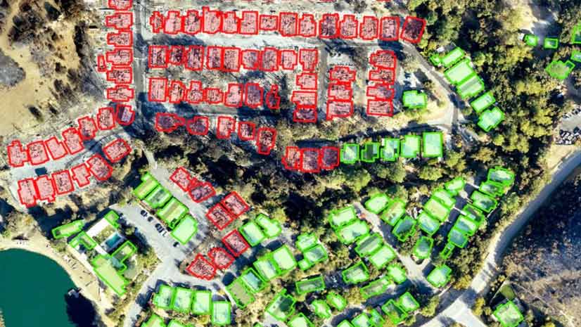
Find out how deep learning within ArcGIS was used on drone imagery to find structures damaged by the devastating Woolsey Fire.
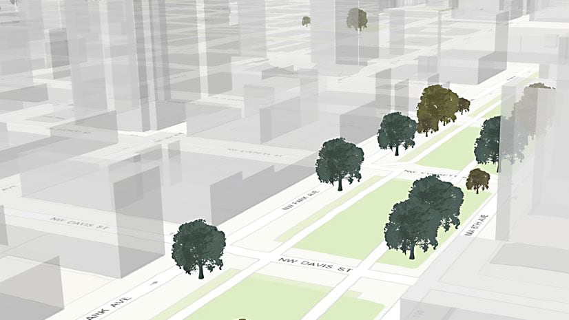
In this Learn ArcGIS lesson, you will learn to turn 2D tree data into 3D scenes of trees using Scene Viewer in ArcGIS Online.