Explore Attribute Fields and Data Validation
Learn about attribute fields and how to apply attribute validation techniques to geodatabase features using ArcGIS Pro.
Learn about attribute fields and how to apply attribute validation techniques to geodatabase features using ArcGIS Pro.
Emily Meriam, an Esri cartographer, shows how to create an Arccade expression that makes your symbols scale as you zoom in and out of your map.
Biologist Edward O. Wilson, long focused on ants, is helping lead an effort to protect biodiversity worldwide through the Half-Earth Project.
The City of Pasadena, NatureServe, the US Census Bureau, and other organizations show how GIS helps them see what others can't see.
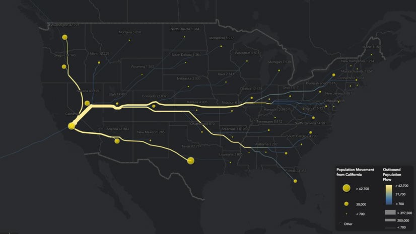
Lisa Berry from Esri used change of residence data from the IRS and the Distributive Flow Lines tool to map where people move within the US.
A law enforcement team in California uses Esri technology to find out what services homeless people need and match them with those services.
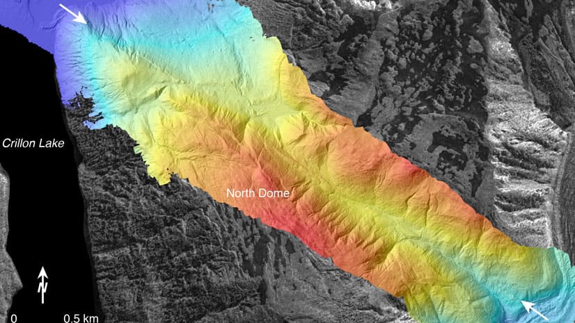
Learn basic lidar concepts and best practices to manage, edit, visualize and share lidar-derived 2D and 3D information products using ArcGIS Pro.
Configure or upgrade your GIS by packaging ArcGIS with Dell products, including Dell PowerEdge Server or a Dell Workstation.
Meet in London from October 29-30, 2019, to find geospatial solutions for petroleum exploration, managing assets, and other tasks.
Green infrastructure and network mapping are the focus of two new books published by Esri Press.
The South Coast AQMD app gives users location-based air quality information for greater Los Angeles, California.
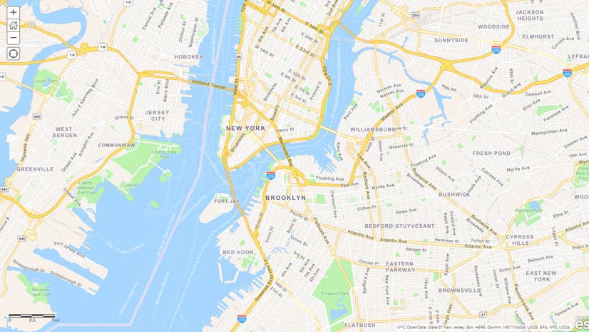
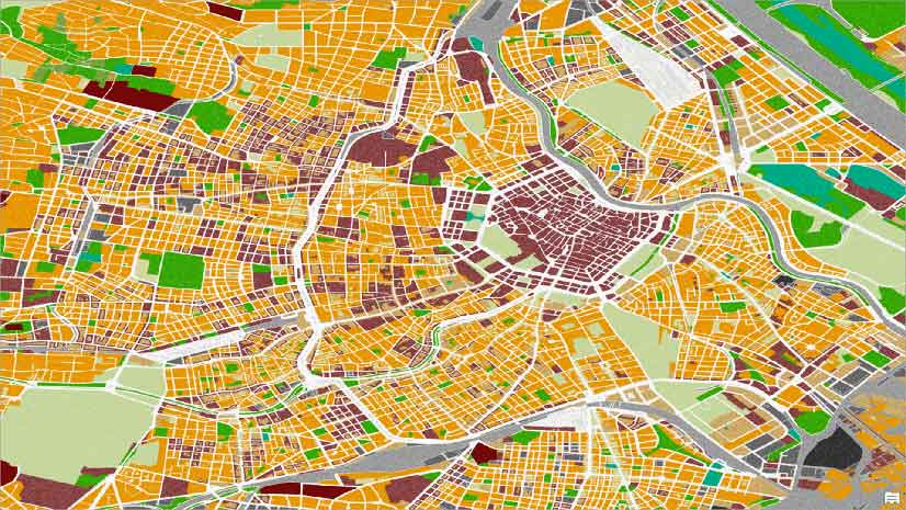
Esri cartographer Wes Jones recently redesigned the Navigation basemap using the ArcGIS Vector Tile Style Editor. See what changes he made.