Turn Unstructured Data into Maps
Use the ArcGIS LocateXT extension to find and extract geographic coordinates from reports, spread sheets, websites and emails and then map them.
Use the ArcGIS LocateXT extension to find and extract geographic coordinates from reports, spread sheets, websites and emails and then map them.
Lawrie Jordan, director of imagery and remote sensing at Esri, discusses the value of imagery in business and government.
Take advantage of a discounted offer of Spike, a laser measurement device from ikeGPS that works well with Survey123 for ArcGIS.
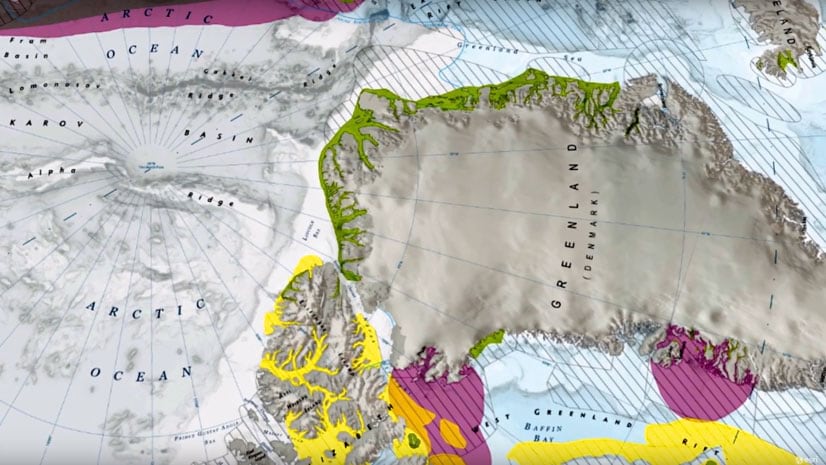
Use the Paleogeography & Plate Tectonics story map to go back in time and see how land masses moved due to plate tectonics.
Make your maps easier to understand by using ArcGIS Arcade to bring the colors from the map symbols into your pop-up text.
Use ArcGIS Indoors to navigate to offices, locate safety and security equipment, find events, and monitor security issues in the workplace.
Guoping Huang from the University of Virginia created the Charlottesville Bicycle Map, a web app for finding bikeable routes.
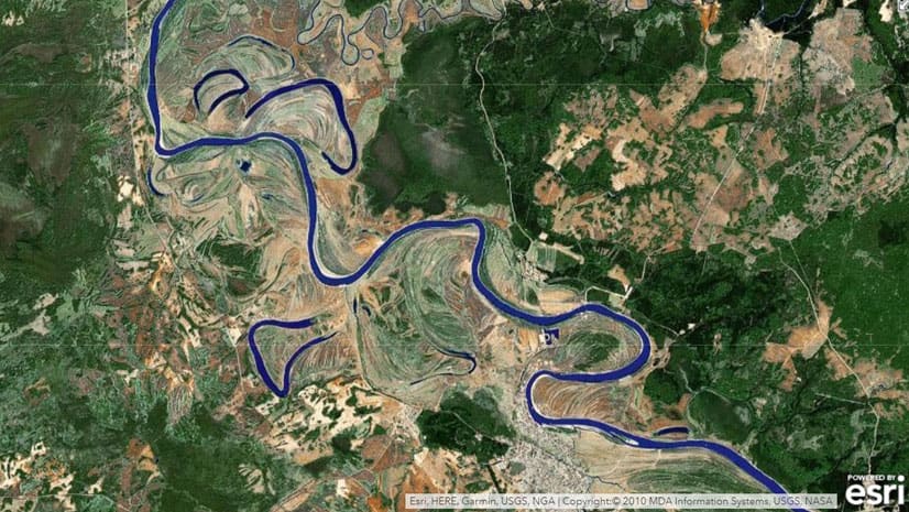
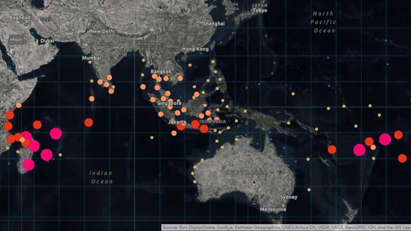
Whether you need to find where the fewest Americans have health coverage or where a typhoon is heading, you can use GIS to get answers.
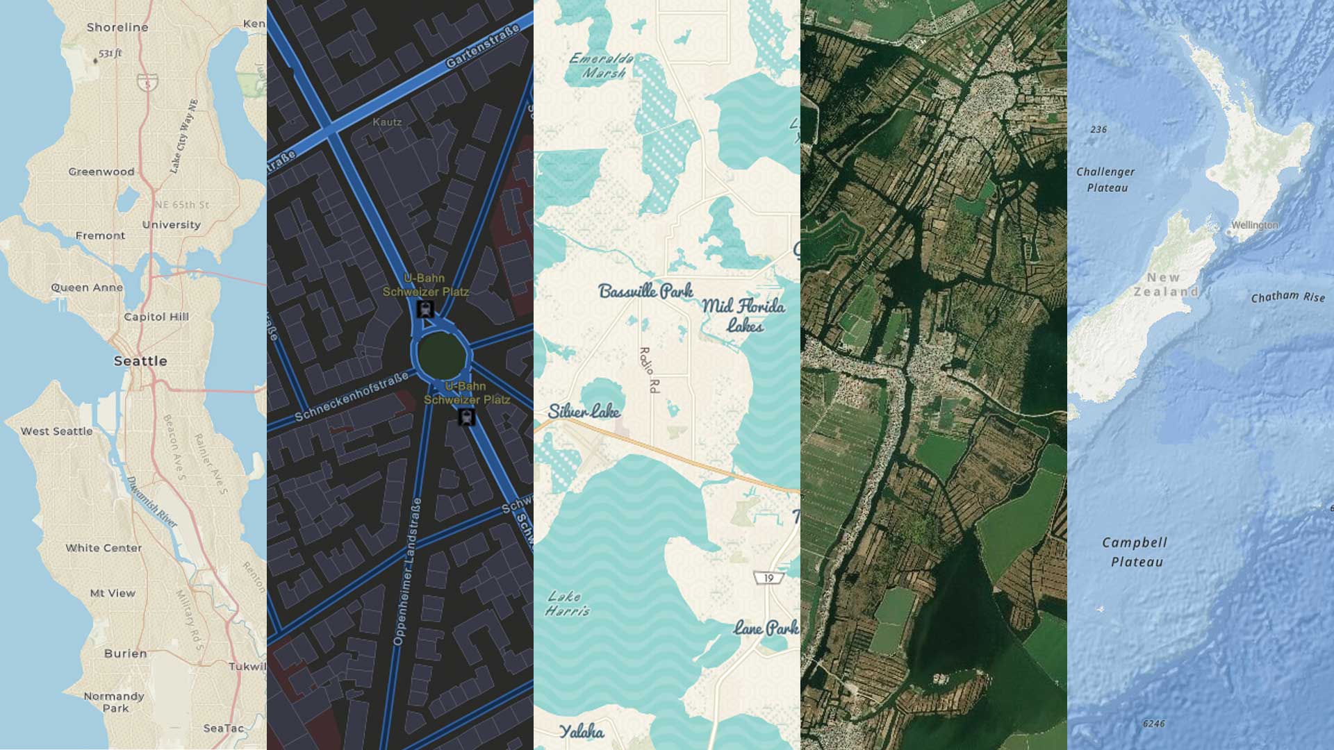
See the updated style in the World Navigation vector tile layer and learn what you can do with the new ArcGIS Vector Tile Style Editor.
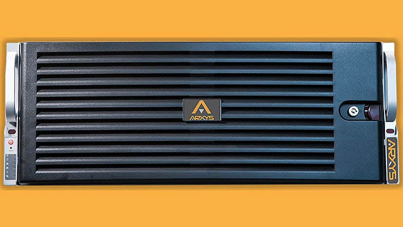
Data Appliance 7.0 for ArcGIS includes Esri vector basemaps and preloaded imagery, basemaps, and reference layers, all behind your firewall.
Protect your internal proprietary data by keeping it local—on your organization’s network—using Data Appliance for ArcGIS.
The focus of three new Esri books will be how to use GIS for science, smarter government, and the census with a fourth devoted to geodatabases.