Maps Tell the Story in Kenton County
Planning and Development Services (PDS) of Kenton County uses GIS in imaginative ways, using maps and data to tell stories about...
Planning and Development Services (PDS) of Kenton County uses GIS in imaginative ways, using maps and data to tell stories about...
Many American students (and grads!) might be surprised to learn that two-thirds of the continent of Africa lies north of the equator...
Meet the 2018 Esri Storytelling with Maps Contest winners, who used the apps to tell stories about a Rohingya refugee encampment...
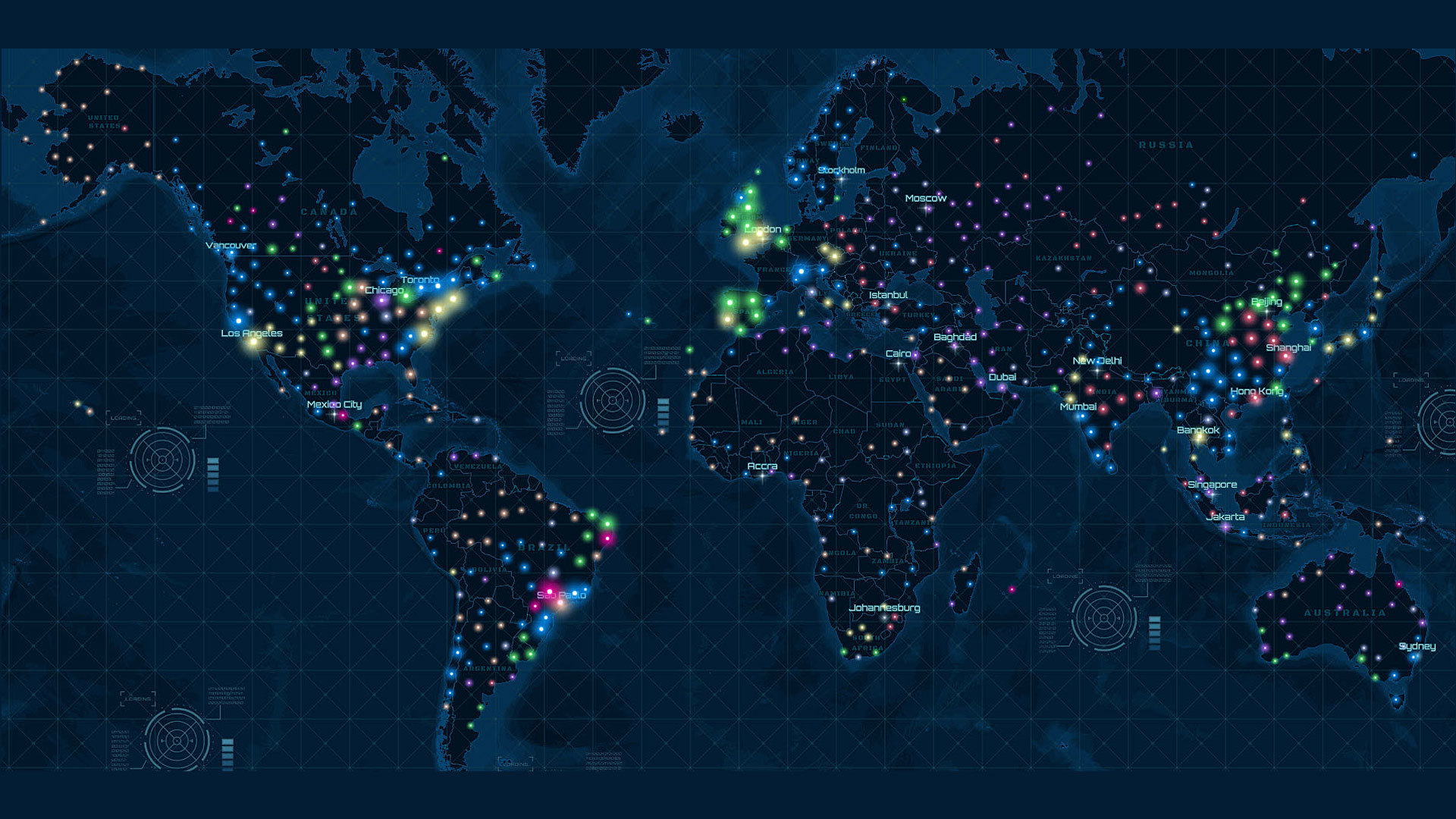
Millions of users depend on the live feeds available from ArcGIS Living Atlas of the World, whether it's weather, earthquake, wildfire, or...
Operations Dashboard for ArcGIS can be configured for assessors who want to view the latest assessment data on a single screen via maps, charts..
The International Association of Fire Chiefs (IAFC) launched this handy Wildfire Status Dashboard that maps where wildfires are burning...
Attention, solar eclipse followers. Want to find the next eclipse? Use the Solar Eclipse Finder from Esri, which lists dates and times...
Professor Wing Cheung of Palomar College shares tips on how to make story maps really stand out.
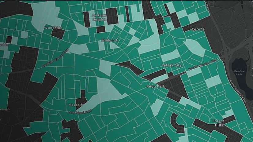
With new clustering capabilities in ArcGIS Online, you can now easily uncover hidden patterns in your data.
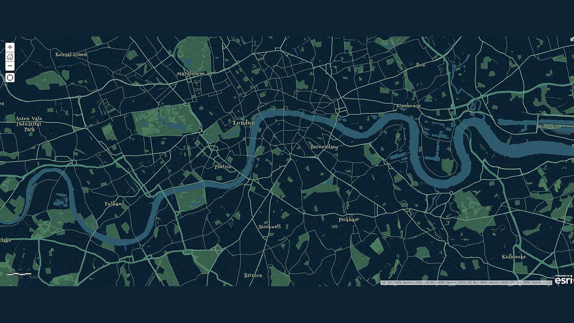
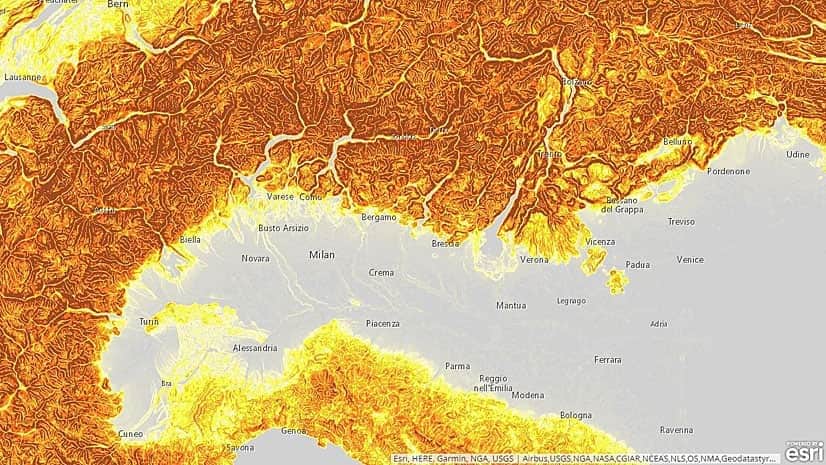
Esri's Rajinder Nagi gives you a tour of the tool collection available in the ArcGIS Living Atlas of the World.
Organizations can use ArcGIS Enterprise Sites to create a tailored web GIS experience with their ArcGIS Enterprise portal.
You can create market opportunity maps using demographic data available in ArcGIS Living Atlas of the World and ArcGIS Online capabilities.