Good Geofences Make Good Maps
Explore how to send alerts or enable location sharing in the ArcGIS Field Maps mobile app using geofences.
Explore how to send alerts or enable location sharing in the ArcGIS Field Maps mobile app using geofences.
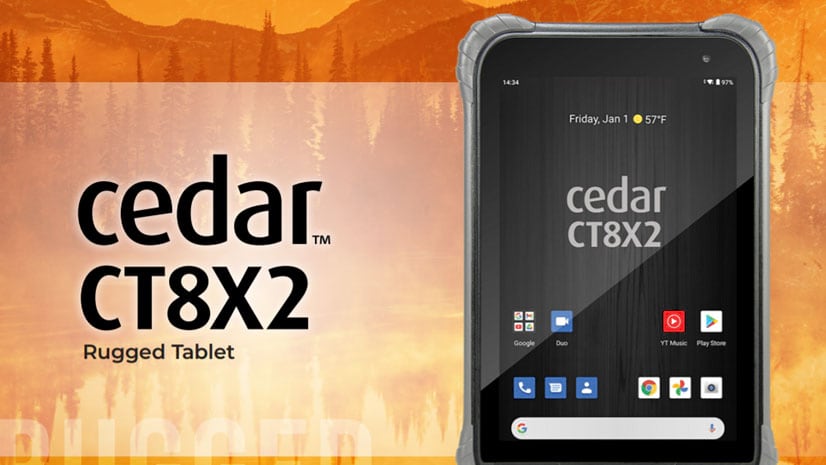
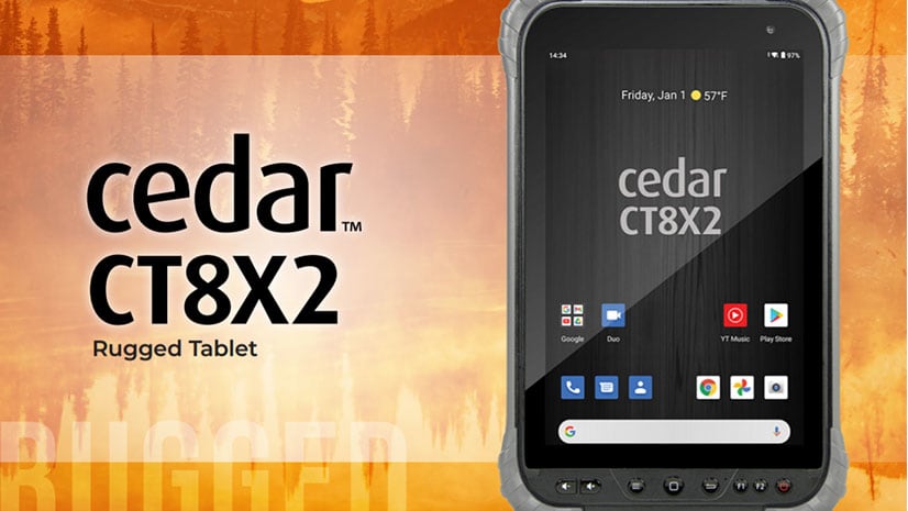
Esri offers US customers the Cedar CT8X2 rugged tablet for use with ArcGIS Field Maps to streamline your field data collection workflows.
An emergency search and rescue team in Lee County, Alabama used ArcGIS location sharing software to locate a missing girl unharmed.
D’Maia Curry and Joshua Clifford from Esri talk about the emergence of the mobile worker and mobile GIS.
D'Maia Curry from Esri shows you all the features and capabilities you can access from the Maps list in ArcGIS Field Maps.
Jane Darbyshire from Esri teaches you how to create a map that you can use to collect data in ArcGIS Field Maps mobile app.
Esri offers the Cedar CT8X2 Rugged Tablet for use with ArcGIS Field Maps to streamline your field data collection workflows.
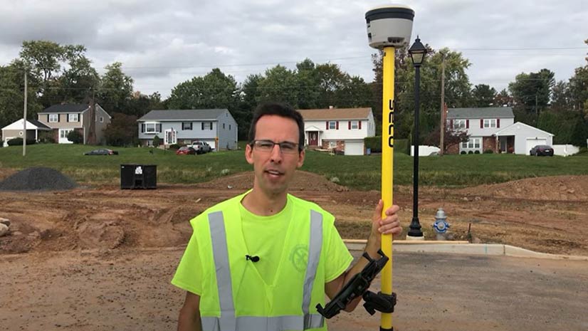
Eric Wagner, a solution engineer at Esri, goes to a construction site to demonstrate all the capabilities in the ArcGIS Field Maps app.
Jeff Shaner of Esri talks about the making of the new ArcGIS Field Maps app in the first episode of the Field Notes podcast.
Charlottesville Fire Department switched from conducting fire hydrant inspections with pen and paper to using the ArcGIS Field Maps app.
Location data recorded by ArcGIS Tracker or ArcGIS Field Maps can be turned into animations in ArcGIS Pro. Learn how to do this.
Want to try collecting data in the ArcGIS Field Mapsapp? Start by preparing your layers and making a map so you can begin collecting data.