Georgia City Makes the Most of its GIS
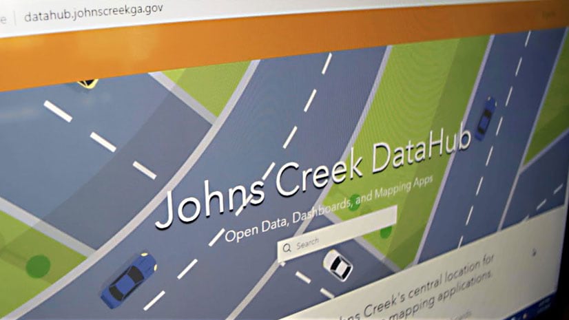
In Johns Creek, Georgia, the city uses GIS to analyze data to decide, for example, where to locate a new fire station or pave a road.
In Johns Creek, Georgia, the city uses GIS to analyze data to decide, for example, where to locate a new fire station or pave a road.
See how the power of location intelligence works, whether you need to select a site for a business solve traffic bottlenecks in a city.
Green infrastructure and network mapping are the focus of two new books published by Esri Press.
Guoping Huang from the University of Virginia created the Charlottesville Bicycle Map, a web app for finding bikeable routes.
Whether you need to find where the fewest Americans have health coverage or where a typhoon is heading, you can use GIS to get answers.
The focus of three new Esri books will be how to use GIS for science, smarter government, and the census with a fourth devoted to geodatabases.
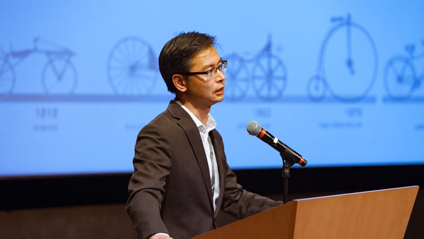
Thomas Fisher, director of the Minnesota Design Center, explains how design and the digital revolution will change how people will live and work.
Conservation photographer Carlton Ward Jr., says geodesign and storytelling will play a critical role in conserving land for Florida wildlife.
Use the Community Maps Editor app, now in beta, to create and edit detailed features for special areas of interest within your communities.
A team from the US Census Bureau shows how geographic information and GIS mapping apps will be used to conduct the 2020 Census.
Authors James and Deborah Fallows crisscrossed America’s heartland in a small plane to document economic and cultural changes in communities.
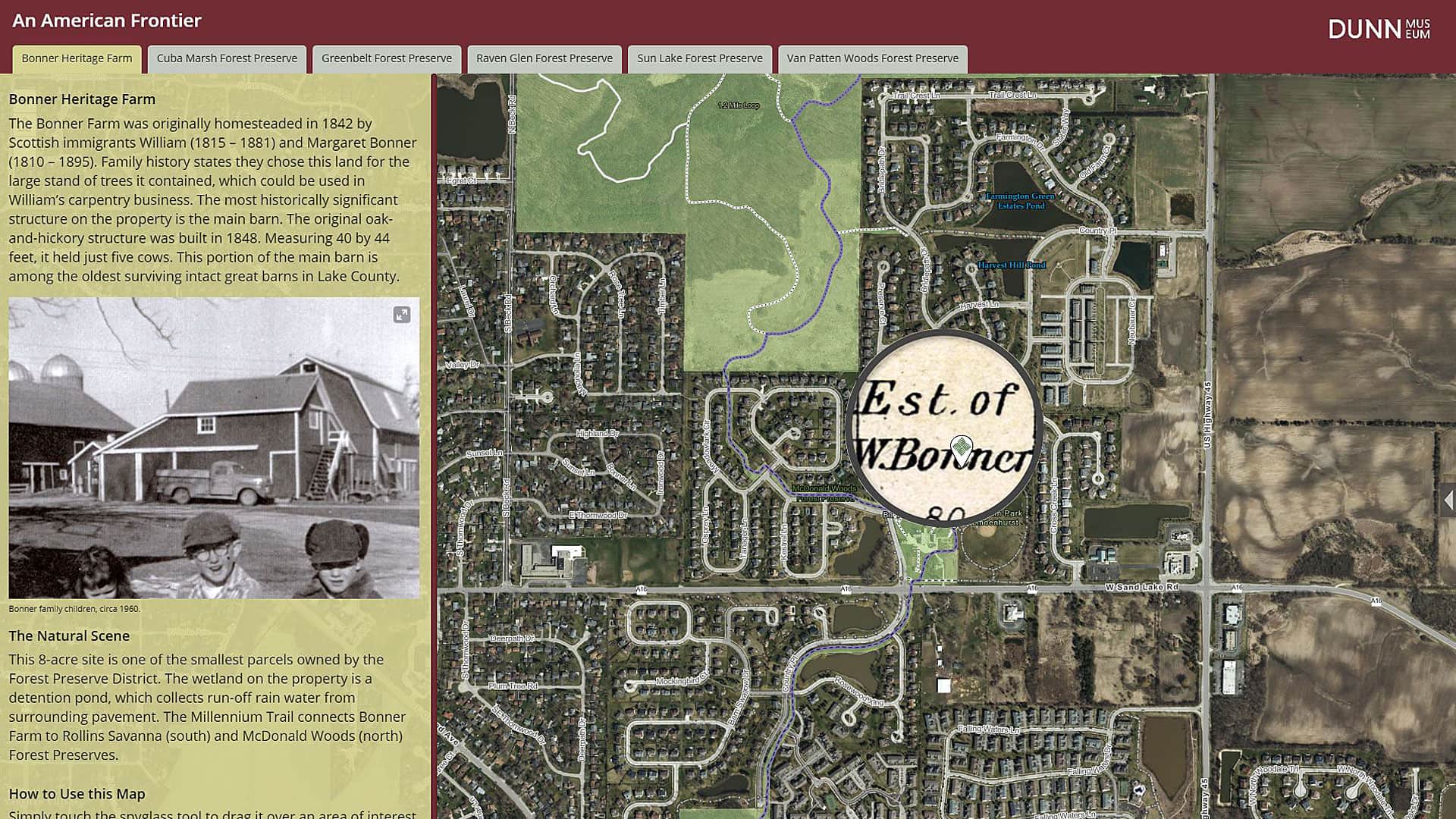
The Bess Bower Dunn Museum in Illinois uses Esri Story Maps to teach visitors about the people, events, and history that shaped Lake County.