FedEx Counts on Geospatial Intelligence
Sheila Davis from FedEx explains how the company uses geospatial technology to improve its business processes.
Sheila Davis from FedEx explains how the company uses geospatial technology to improve its business processes.
Learn how artificial intelligence (AI), machine learning, and location intelligence can be used together for predictive analysis.
Felicia Alingu from Cobb County in Georgia used Insights for ArcGIS to study data on what drives visits to senior centers,
Felix Finkbeiner, founder of Plant for the Planet, mobilizes a global tree-planting project to slow climate change.
The city of Thornton , Colorado, switched from paper forms to ArcGIS to document, manage, and analyze data on sign violations and other issues.
This tutorial will show you how to perform a suitability analysis to create a web map of flood risk.
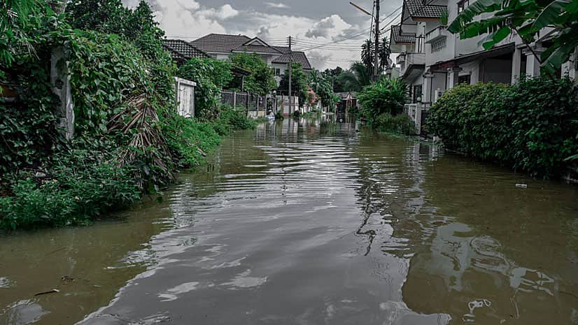
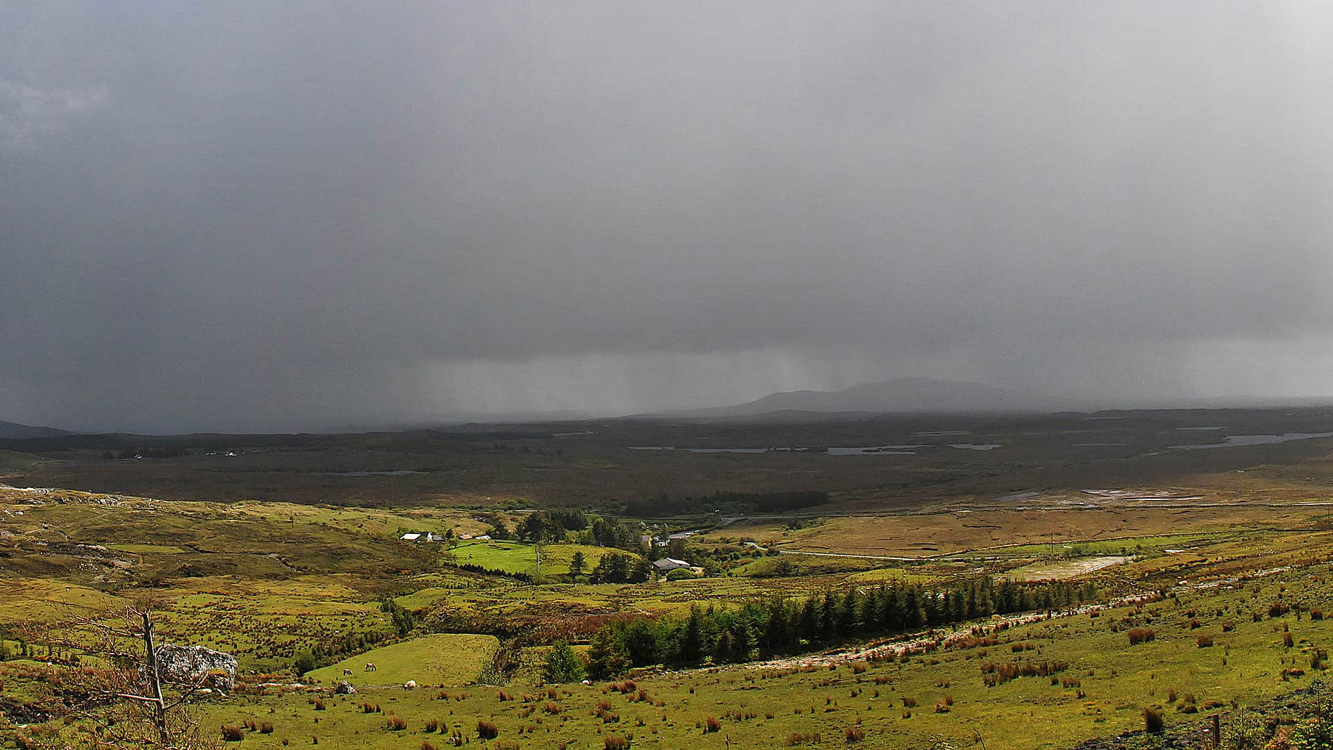
The Cork County Council in Ireland uses ArcGIS Online to monitor traffic and infrastructure problems during severe weather.
What you've waited for will shortly be reality. Esri will soon begin to support Explorer for ArcGIS on Windows devices.
Steve McCulla from Belron, a business with brands such as Safelite AutoGlass and Carglass, shares a story of how the company uses GIS.
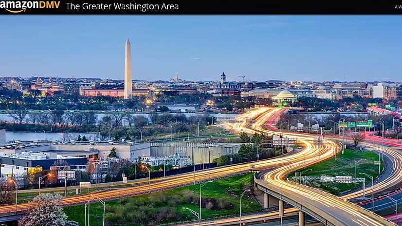
Turns out that was. Watch how Esri data and technology were used to analyze the Washington, DC, area's suitability as an Amazon headquarters.
A new bike route map app powered with Esri ArcGIS will take you places in San Diego County.
To make cities livable and resilient, there needs to be a systems approach to planning and a movement to rebuild smarter...