Crowther on Climate Change
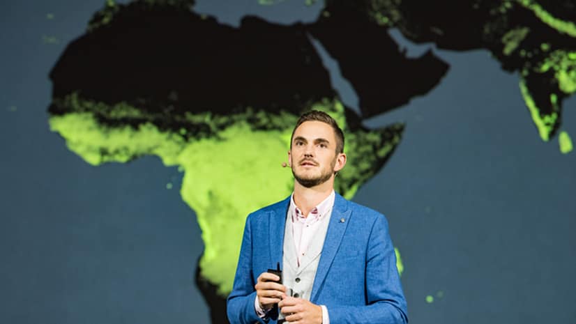
Thomas Crowther talks about how location intelligence can be used to target reforestation efforts to reduce the impact of climate change.
Thomas Crowther talks about how location intelligence can be used to target reforestation efforts to reduce the impact of climate change.
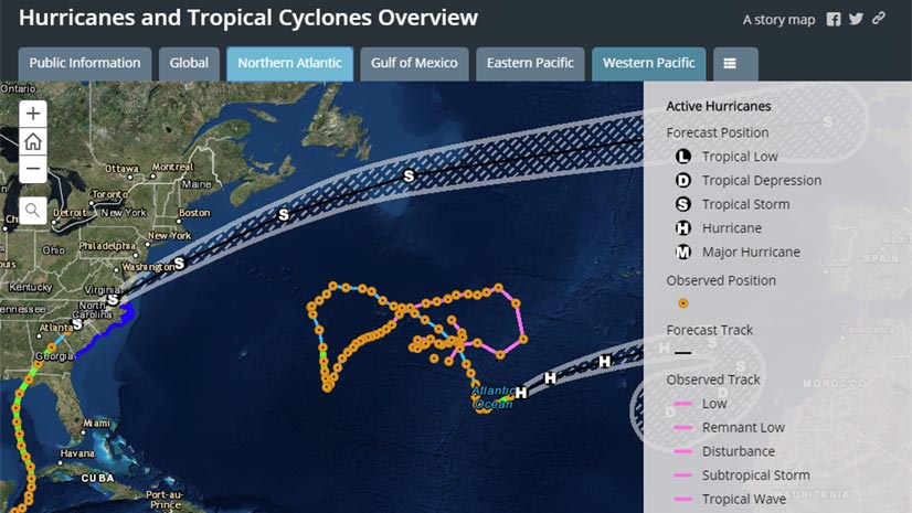
When hurricanes and other disasters strike, the Esri Disaster Response Program (DRP) steps up to help with data, software, and configurable apps.
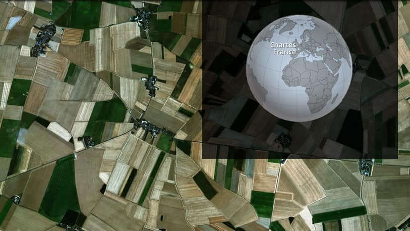
In a new story map, the Esri Story Maps team plows into how people around the world use a limited resource: land.
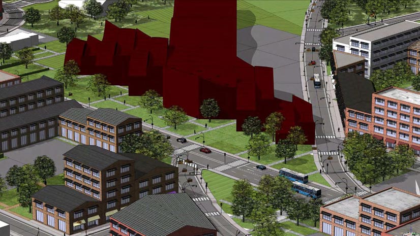
Planning for the future will require innovative technologies and design ideas, which will be topics of discussion at the 2019 Geodesign Summit.
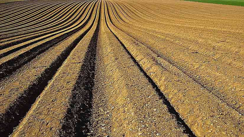
John Deere research scientist Angela Bowman discusses the role that location intelligence and predictive analytics play in farming today.
GIS for government will be the focus of the Esri Federal GIS Conference, which will be held January 29-20, 2019, in Washington, D.C.
Landscape architect and urban planner Arancha Munoz-Criado, a driving force behind implementation of a green infrastructure policy...
PlaceWorks, Inc., uses GeoPlanner for ArcGIS to help the City of Menlo Park, California, plan for the expansion of Facebook headquarters...
Develop a sustainable community by using GIS to collect, analyze, visualize, and share information. There are many new tools available.
Along with the Internet of Things, GIS plays a critical role in performance-based logistics. In the case of an airplane engine manufacturer...
Change management expert Michael Green at Esri says it takes more than technology capabilities for an organization to successfully undergo...
German students or their parents or guardians use a new online survey created with Esri technology to sign up for school bus transportation.