Federal Funding to the Rescue
Learn how federal infrastructure programs can provide a gateway to habitat restoration and a more sustainable future.
Learn how federal infrastructure programs can provide a gateway to habitat restoration and a more sustainable future.
Esri environment and conservation specialist Sunny Fleming details how geospatial technology is key in preserving local wildlife.
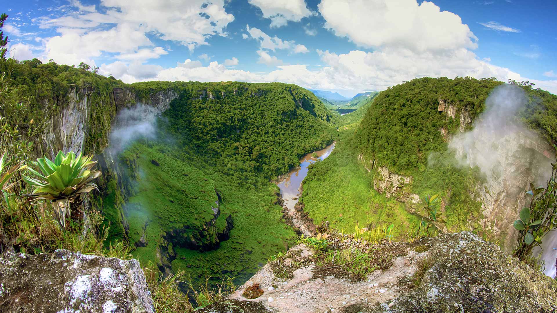
The Guyana Forestry Commission's mission is to prevent deforestation, which protects the rainforests. GIS technology helps achieve this goal.
How can the use of technology reduce heat and create resilient infrastructure in one of the hottest cities in the United States?
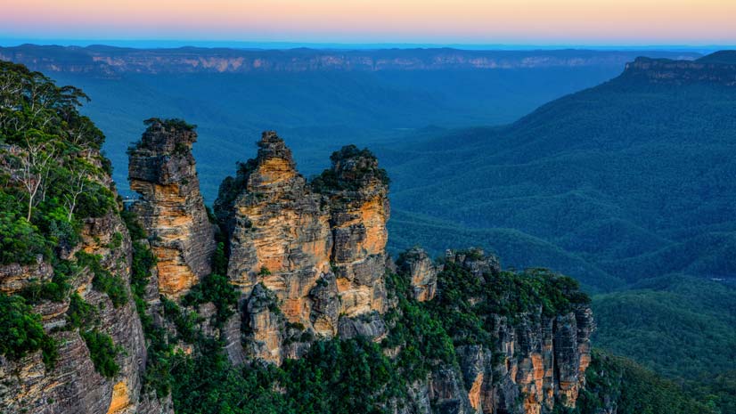
This story visually explains the goals of the 30x30 movement to protect and preserve 30 percent of the Earth’s land and water by 2030.
Explorers and leaders met online with Esri president Jack Dangermond to talk about how they are advocating for and creating a sustainable future.
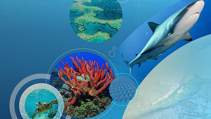
Esri chief scientist Dawn Wright is interviewed about Earth Day, oceans, and how the COVID-19 pandemic may affect environmental policies.
The focus of three new Esri books will be how to use GIS for science, smarter government, and the census with a fourth devoted to geodatabases.
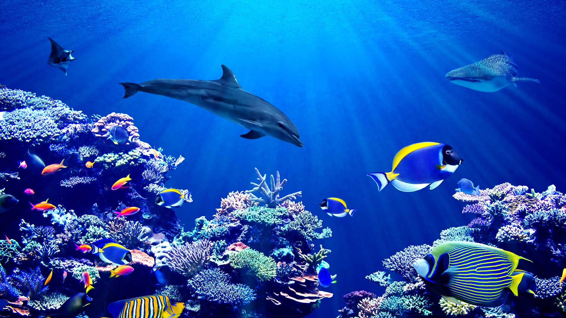
You can use GIS technology to study sea level rise, red tides, acidification, and other ocean-related issues.
Create a game-changing app that will help communities better understand and reduce the impact of climate change on health.
PenBay Media and Esri partner GISi use the ArcGIS platform to help EPA scientists make more informed decisions...
In one study, geneGIS, a new ArcGIS extension, showed that humpback whales return year after year to feeding grounds introduced to them...