Location Technology and its Role in Modern Finance
Experts from Diebold Nixdorf and Esri discuss how banks use geospatial technology to serve customers and boost convenience.
Experts from Diebold Nixdorf and Esri discuss how banks use geospatial technology to serve customers and boost convenience.
Templates have arrived in ArcGIS StoryMaps. Find out how you can use them in your storytelling workflow.
Author and journalist James Fallows explains why geospatial technology is a catalyst for positive change.
In this Faces of YPN article, meet Catherine DuBreck, an accomplished GIS change management consultant and undergraduate instructor.
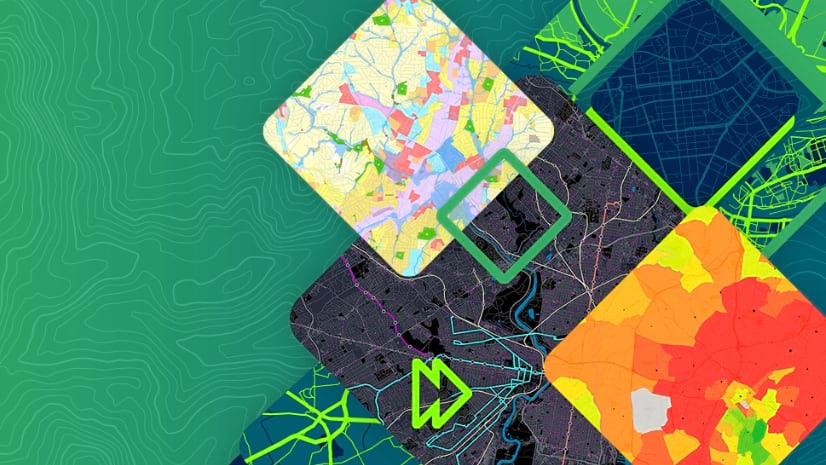
Learn how the special capabilities of spatial data analysis can provide deeper understanding in cloud-based mapping and analytics.
In Map Viewer, you can make a map with time-based data and animate it to see patterns or trends over time. Learn to time-enable your data layers.
Learn how labeling features can help you design your maps.
Learn how the Offline mapping apps guide helps developers build applications that work where there is limited or no connectivity.
A new title from Esri Press explores how spatial scientists and practitioners can leverage big data and the opportunities it provides.
Add some flair to your pop-ups with HTML coding.
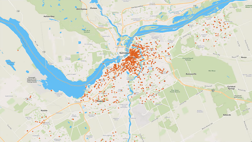
GIS training in a midwestern US city is helping to foster an environment of innovation and collaboration.
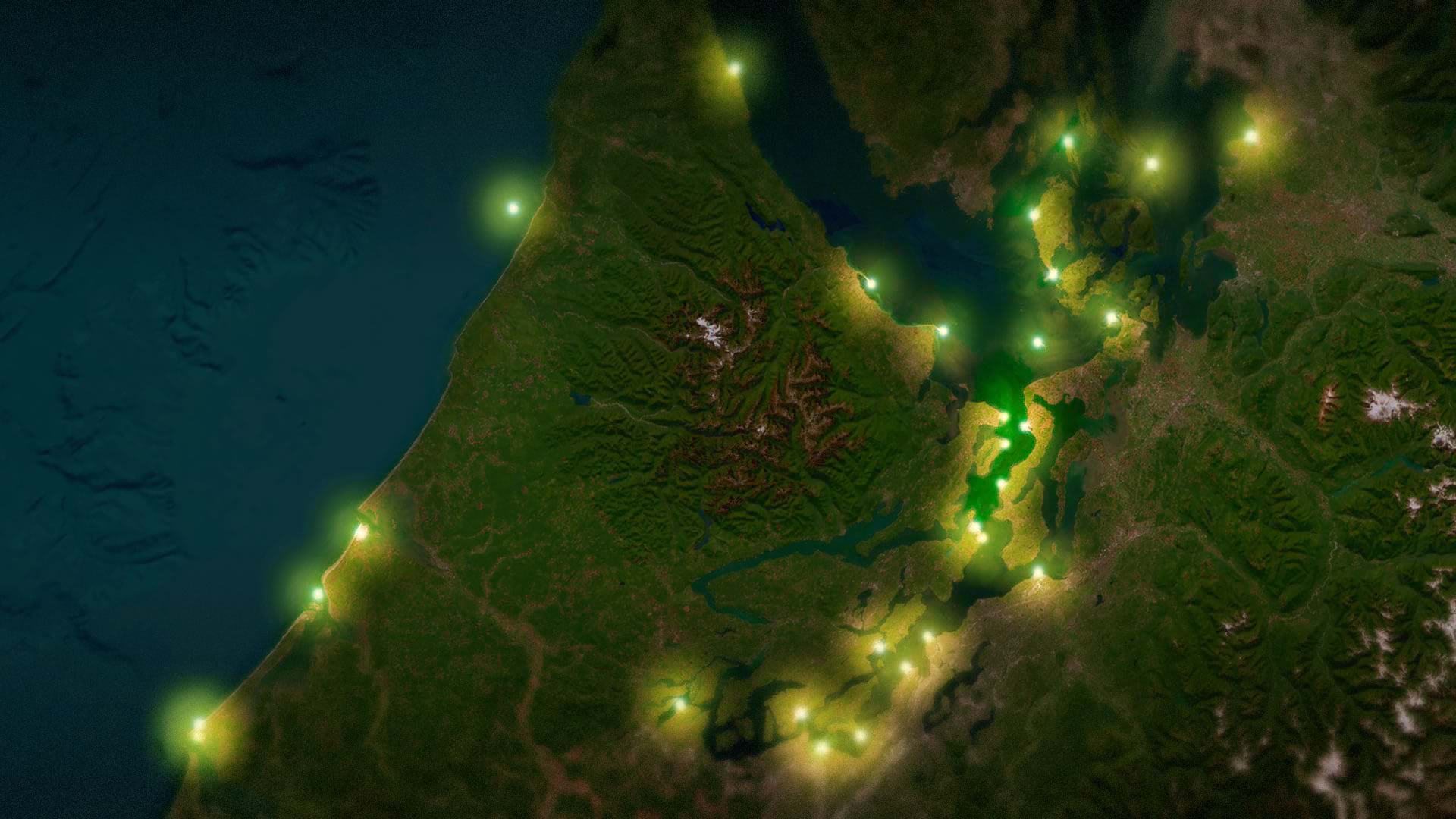
Learn how to make point features in ArcGIS Online look like they’re illuminating a map.