Sustaining Commerce on the Mississippi River
Ned Mitchell from the US Army Engineer Research and Development Center discusses supply chain sustainability on America’s second-longest river.
Ned Mitchell from the US Army Engineer Research and Development Center discusses supply chain sustainability on America’s second-longest river.
Check out the 2025 offerings for Esri's MOOC program and save your spot today.
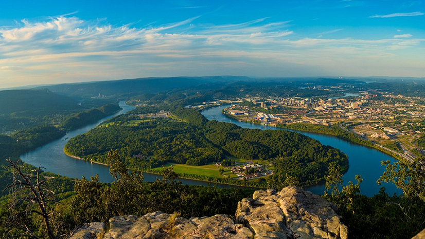
Explore the role of GIS in parks and how a Tennessee city is using this technology to become America's first National Park City.
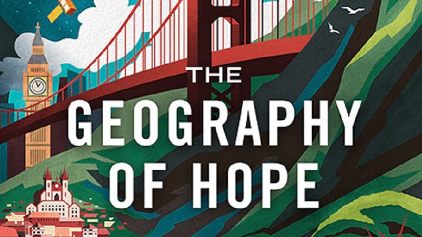
The Geography of Hope, a new title from Esri Press, tells the stories of optimists who map the world and make it a better place.
Through firm and project management, collaboration, field safety, and drone use, learn how surveyors can leverage GIS to optimize workflows.
In these videos, learn to choose the right colors for the right features in your maps.
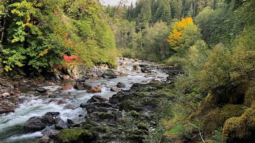
Learn how Washington State is creating a standardized, integrated set of elevation-derived data for hydrography mapping and analysis.
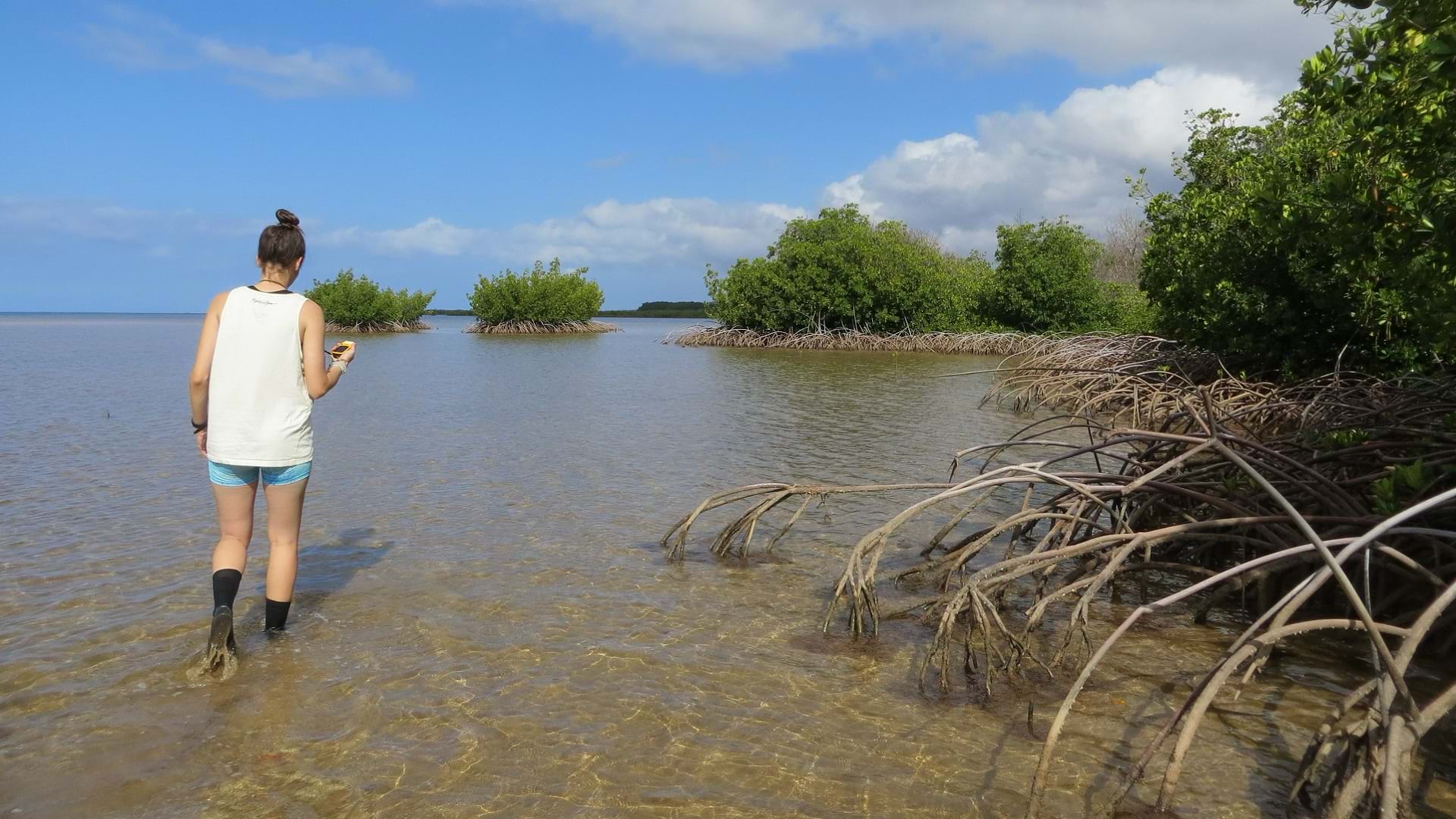
Lily Jenkins has spent her whole life using GIS to help her community, from tackling invasive mangroves to responding to deadly wildfires.
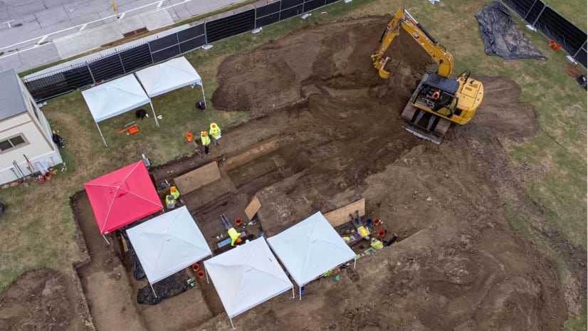
Esri senior writer Karen Sullivan discusses the legacy of forgotten black burial grounds and the initiative to document them.
Jack Dangermond and National Geographic Society CEO Jill Tiefenthaler discuss technology and the power of storytelling.
Visualize quotes, stories, sentiments, and experiences using labels, pop-ups, dashboards, and word clouds.
Check out this new platform dedicated to showcasing and celebrating beautiful and remarkable maps, as well as those who make them.