The Mapping Experience
Visualize quotes, stories, sentiments, and experiences using labels, pop-ups, dashboards, and word clouds.
Visualize quotes, stories, sentiments, and experiences using labels, pop-ups, dashboards, and word clouds.
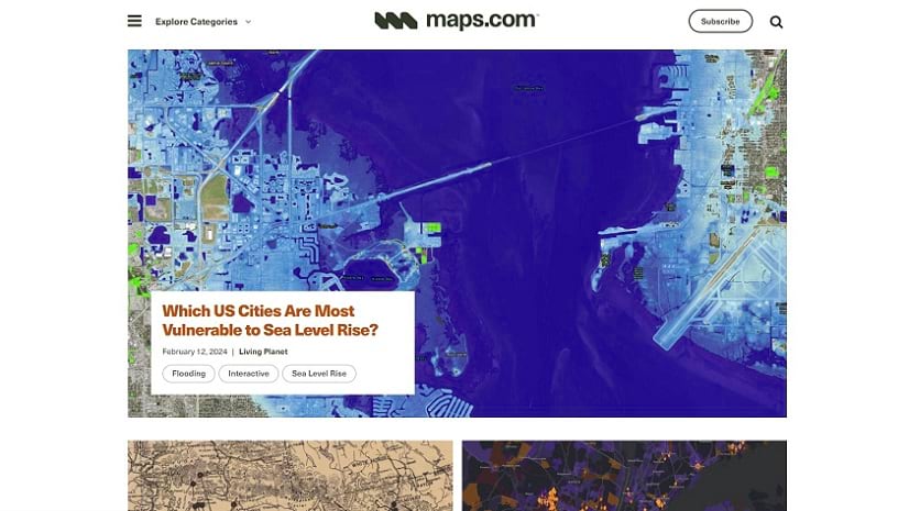
Check out this new platform dedicated to showcasing and celebrating beautiful and remarkable maps, as well as those who make them.
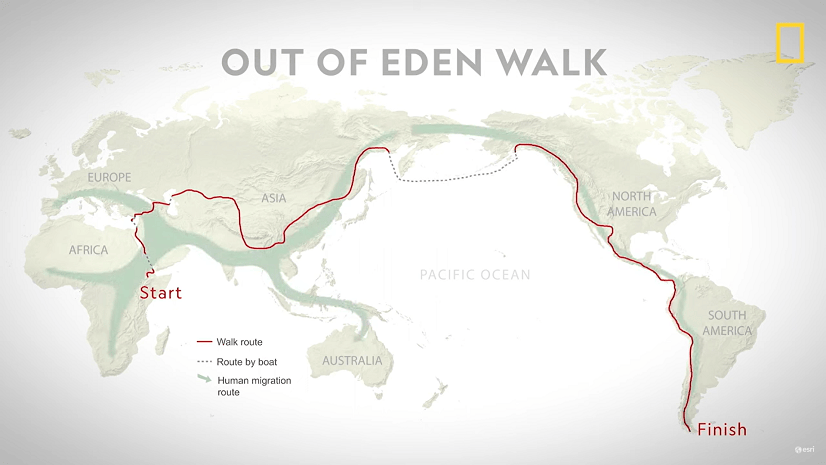
Join National Geographic Fellow Paul Salopek on his ten-year trek around the world to explore the people who make societies work.
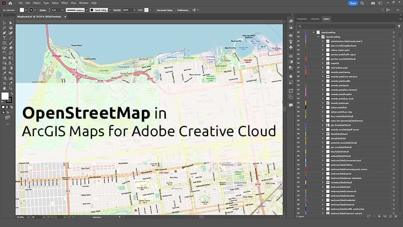
See how OpenStreetMap vector basemaps and layers work in the ArcGIS Maps for Adobe Creative Cloud extension.
Before you publish a web map, take a few minutes with these 10 tips to confirm that it’s ready to share.
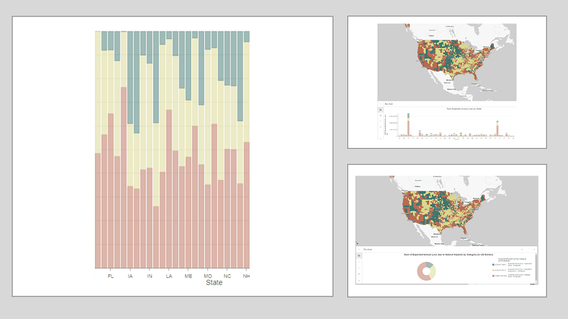
Much like how there are principles behind food and wine pairings, there are principles when it comes to pairing charts with maps.
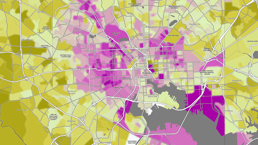
Blur is the perfect effect for data that has been protected with differential privacy. Learn more about using the effect in this blog.
When displaying photos or other images in ArcGIS Online web map pop-ups, it’s sometimes the small things that can make a big difference.
Explore the possibilities of mapping in ArcGIS Online. This video shows you how to get started with creating a map in Map Viewer.
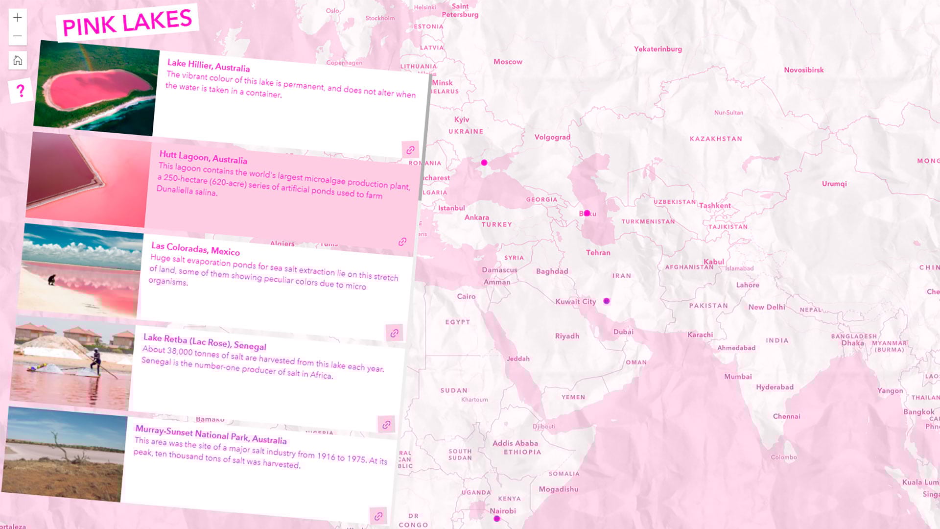
Learn to map pink lakes around the world and make the map pink to match its colorful theme.
Technology evangelist Bern Szukalski walks you through how to access and best use subscriber content on ArcGIS Living Atlas of the World.
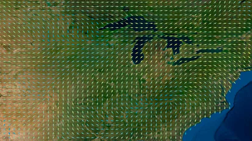
Learn the ArcGIS capabilities and workflows that give you the ability to visualize wind and ocean current data.