The Future of Energy Consumption
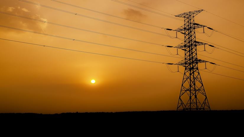
Energy usage in the US in 2021 was 100 quadrillion BTUs. 80% are from fossil fuels. Utilities will be busy decarbonizing. GIS will help them.
Energy usage in the US in 2021 was 100 quadrillion BTUs. 80% are from fossil fuels. Utilities will be busy decarbonizing. GIS will help them.
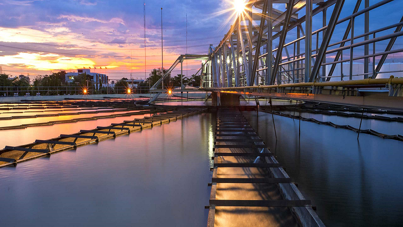
Wastewater is often a reflection of a community’s health. Explore how different communities use GIS to monitor their wastewater effectively.
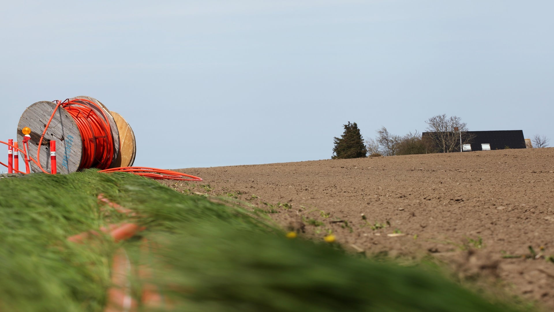
In the age of remote work, the state of Ohio is turning to GIS to address inequalities in reliable broadband access.
See how digital twins benefit water utilities and how the visualization and analysis capabilities of ArcGIS fit in.
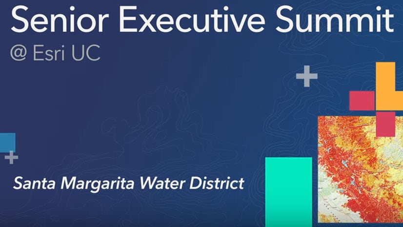
Santa Margarita Water District in California uses GIS to operate in a cost-efficient manner and boost water conservation.
Learn about geospatial solutions for the electric, gas and telecommunications industries at the Esri GeoConX Conference in October 2019.
Water utilities can use the new Water Outage template to deploy maps, apps, and workflows to investigate leaks and manage service outages.
Find out how utilities use location technology, artificial intelligence, and machine learning to keep information flowing, and manage assets.
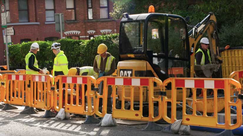
Irish Water is using GIS to complete a project to repair or replace leaking water pipes in Ireland.
The White House Utility District in White House, Tennessee, uses the ArcGIS platform to better manage its sewer and water systems, saving water,
Do utilities have enough spatial intelligence to figure out what sparked an outage and the location of the problem?
Sempra Global managers use online maps created with Esri ArcGIS to share information about assets such as wind turbines, liquefied natural gas...