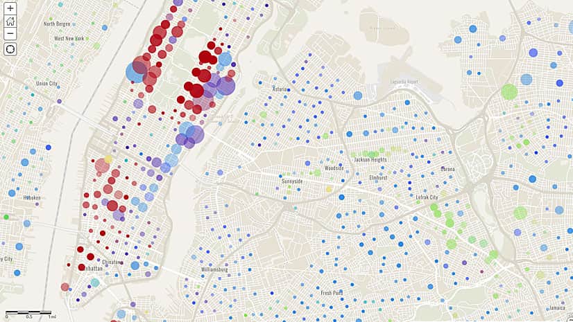
Mapping Million Dollar Homes
Need to map home values in the United States? Esri offers detailed home value data including three new multi-million-dollar ranges.
Need to map home values in the United States? Esri offers detailed home value data including three new multi-million-dollar ranges.
Steve McCulla from Belron, a business with brands such as Safelite AutoGlass and Carglass, shares a story of how the company uses GIS.
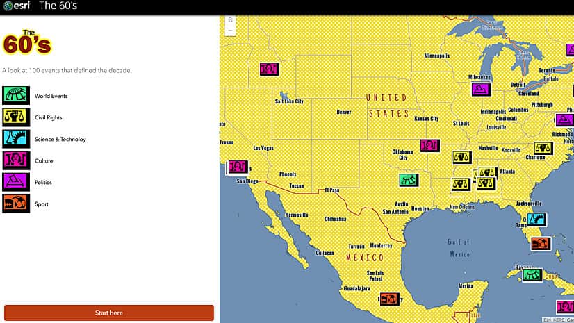
Esri's Andrew Skinner created an eye-popping story map about 100 significant 1960s events using the new Pop Art vector basemap.
Story Maps Labs offer inspiration with innovative examples of custom story maps created by the Esri Story Maps team.
Location intelligence answers the where questions and the who, what, when, why, and how much questions.
Turns out that was. Watch how Esri data and technology were used to analyze the Washington, DC, area's suitability as an Amazon headquarters.
The ArcGIS Pro Virtualization Dell Appliance, available to US customers, is a virtualization solution optimized for ArcGIS Pro.
Explore the United States from California to the New York island using the USGS Historical Topographic Map Explorer app.
Create design scenarios and edit, collaborate on, and share designs using the online geospatial tools in Esri's new GeoPlanner...
The Nature Conservancy uses Esri ArcGIS to power its suite of online mapping decision support tools, which organizations can use to prepare...
Urban Observatory returns to the Esri User Conference in July as an interactive exhibit with more cities and themes to explore.
A new version of the World Ocean Basemap gives you the ability to use your own annotation and labeling or layer your data...