-
-
Cartography Finding Colors on Maps is Easy using the Eye Dropper Tool
Have you ever seen a color you liked that you wanted to use on your own map, perhaps in symbols or charts?
-
Mapping A Quick Win
The Urban Observatory uses maps to answer questions about cities and how the people in them live, work, and play.
-
Mapping Geography Students Use GIS to Map a Historic Cemetery in Wisconsin
Two University of Wisconsin students used Esri ArcGIS to map one of the state's oldest cemeteries.
-
Mapping Ten Inspirational Wilderness Conservation Maps
Wilderness conservation maps are on display at the Smithsonian Institution National Museum of Natural History in honor of the 1964 Wilderness Act
-
Mapping Envisioning the Past
Tools in the new USGS Historical Topographic Map Explorer let you compare maps from different time periods and see changes.
-
Data Management When Open Data Isn’t “Useful” Data
ArcGIS Online makes data easy to find, access, explore, and share. Do not get trapped in four of the most common data dilemmas.
-
Green Infrastructure The Case for Tree Planting: A Conversation with Felix Finkbeiner
Felix Finkbeiner, founder of Plant for the Planet, mobilizes a global tree-planting project to slow climate change.
-
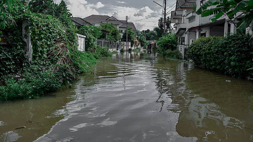
Government Create a Web Map of Flood Risk
This tutorial will show you how to perform a suitability analysis to create a web map of flood risk.
-
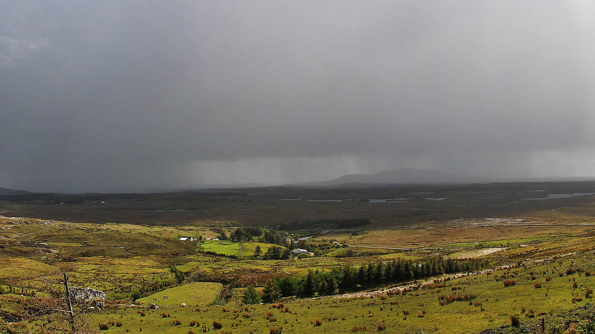
Government Storm Mappers
The Cork County Council in Ireland uses ArcGIS Online to monitor traffic and infrastructure problems during severe weather.
-
ArcGIS Online Make Your Points Glow with Firefly Symbols
Mark Gallant, founder of EntertainMaps.com, shares a tip on how to use firefly symbology from Esri to make custom point symbols on maps.
-
Capability A Sneak Peek at Explorer for ArcGIS on Windows Devices
What you've waited for will shortly be reality. Esri will soon begin to support Explorer for ArcGIS on Windows devices.