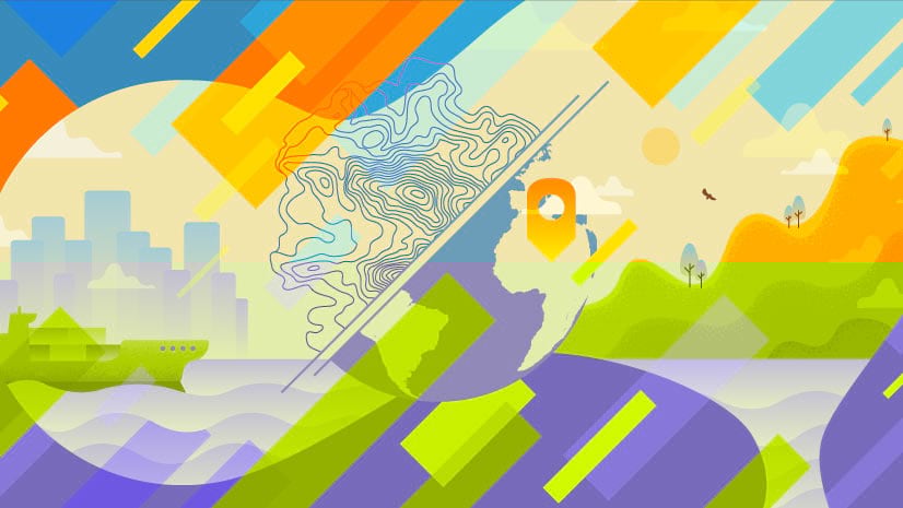
Geodesign for a Sustainable Europe
With the rush to urbanize, how can Europe preserve its historic landscapes, archaeological features, and open space?
With the rush to urbanize, how can Europe preserve its historic landscapes, archaeological features, and open space?
A web mapping application from Esri Canada Limited displays in detail the 16,800-kilometer route of the Trans Canada Trail.
The South Carolina Air National Guard quickly processed satellite imagery after Hurricane Irene by using GeoImaging Tools for ArcGIS...
The National Ice Center (NIC) uses an ArcGIS extension to process satellite imagery of polar regions.
This tip uses live web maps to demonstrate how to use the Ocean Basemap in combination with ArcGIS Online to visually analyze data.
ArcGIS for Server lets you zoom in and clearly see each of 100,000 images that make up the photomosaics.
Learn to create a vector flow map to help your audience visualize geographic phenomena such as wind, water, or gravity.
Architects, urban and transportation planners, GIS professionals, conservationists, and many others are building a strong case for geodesign.
Placing a true north arrow on your map often improves its accuracy and quality.
Electronic navigation charts (ENCs) created using ArcGIS guide a growing number of commercial vessels up and down the Changjiang River in China.
Arboretum visitors can use the Arnold Arboretum application to plan self-guided tours.
Philadelphia University will soon offer a master of science (MS) degree in geodesign, one of the first degrees of its kind in the nation.