Redrawing the Lines
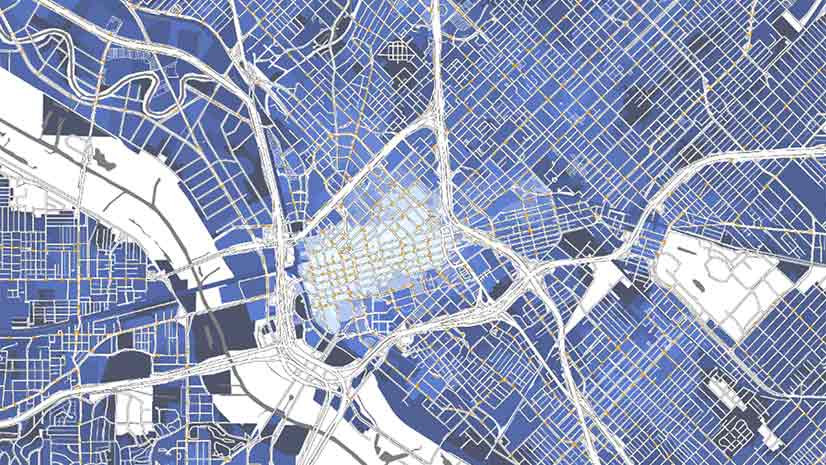
Officials in Tulare County, CA turned to Esri Redistricting to increase transparency and engage the public in the local elections process.
Officials in Tulare County, CA turned to Esri Redistricting to increase transparency and engage the public in the local elections process.
Listen as Nick Okafor of MIT’s Office of Engineering Outreach Programs explains how spatial analysis is helping shape better government policy.
The city of Austin leveraged ArcGIS Dashboards to inventory thousands of trees in an effort to preserve and expand the city's urban forest.
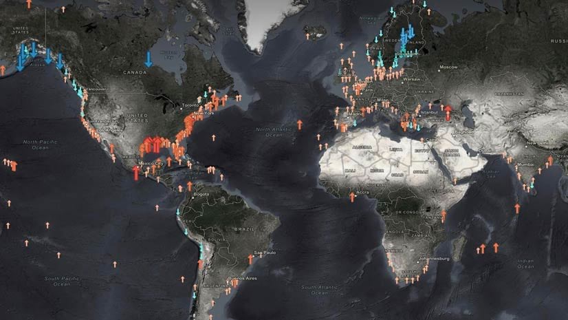
Jerry Johnston, Managing Director at Deloitte & Touche LLP, talks location infrastructure and the importance of geography in business.
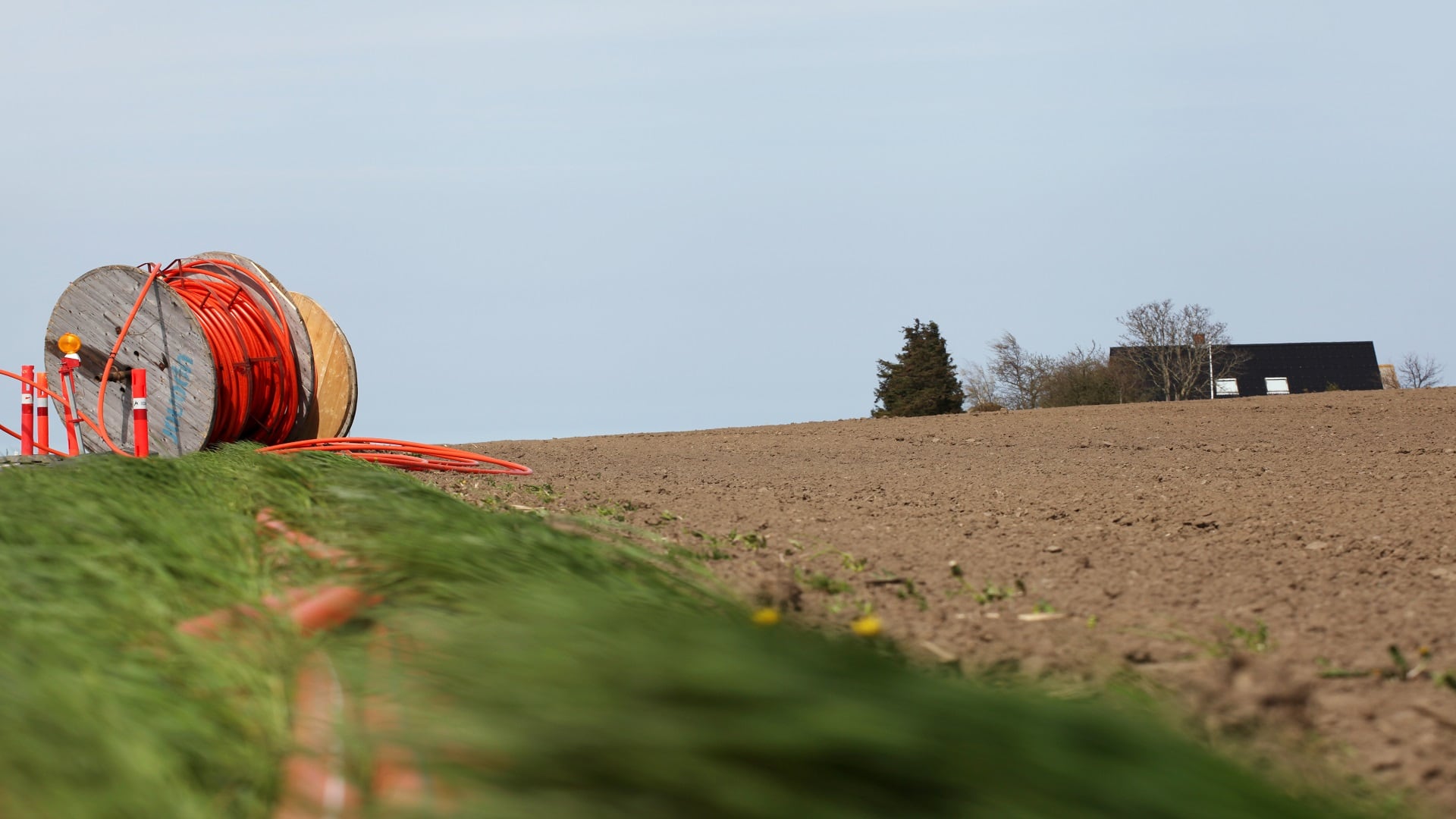
In the age of remote work, the state of Ohio is turning to GIS to address inequalities in reliable broadband access.
In this video, Esri’s Clinton Johnson and Diana Lavery dive into the data and workflows to help you operationalize your equity impact assessment.
Teri Takai, vice president of the Center for Digital Government, describes the role of technology and geographic thinking in good governance.
Esri instructor Jack Horton demonstrates how to use ArcGIS Pro to edit a boundary line to accurately maintain land records data.
Suffolk County, New York, officials use dashboards and location-based data to ensure residents have equitable access to the COVID-19 vaccine.
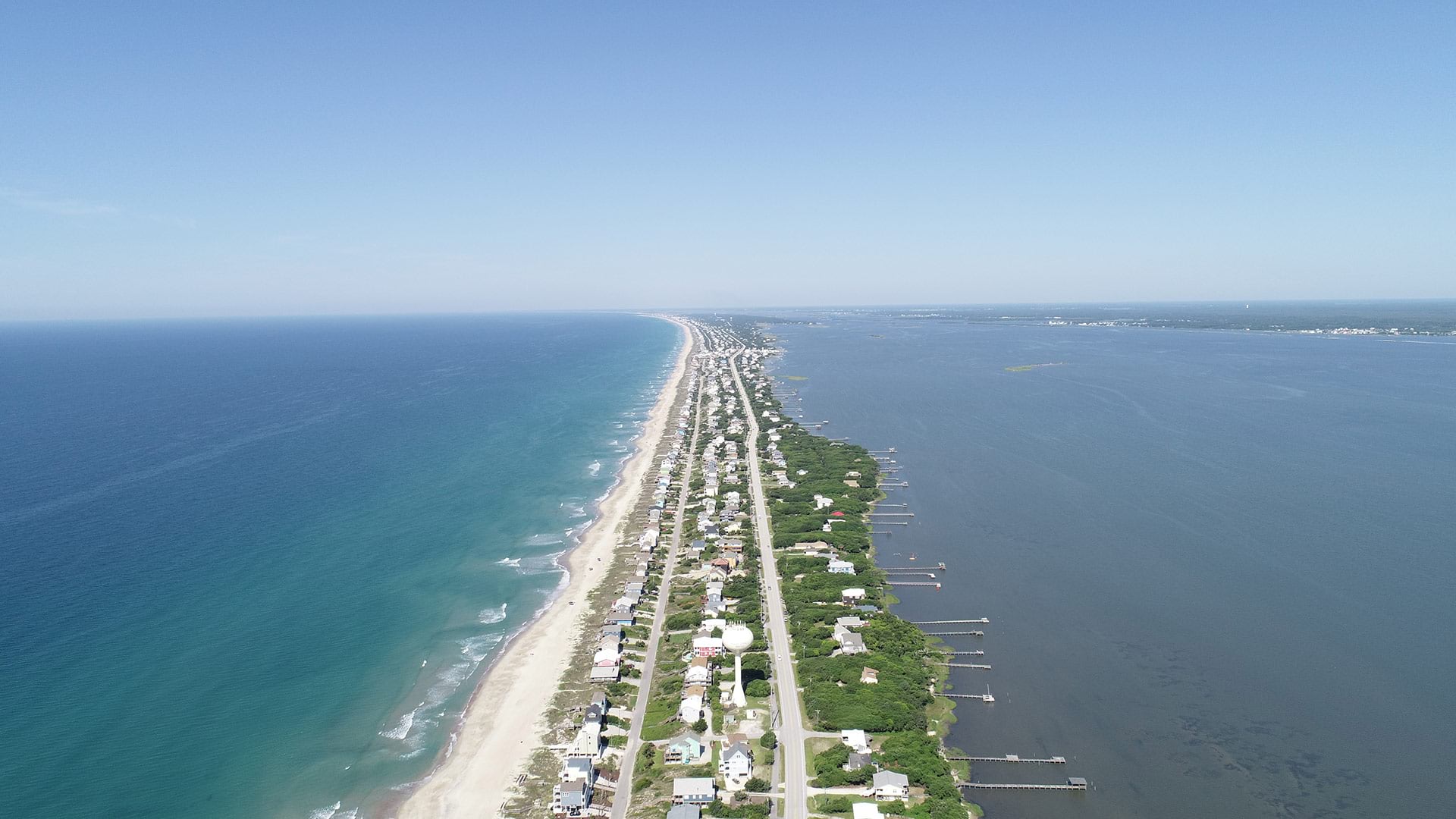
Residents of Emerald Isle, North Carolina, use a GIS web app to find out when trucks collecting yard debris are in their neighborhood.
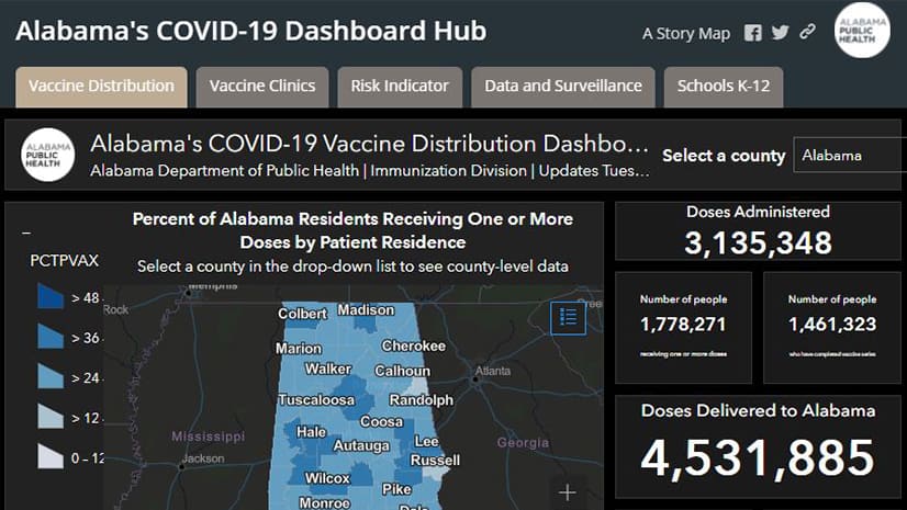
The Alabama Department of Public Health has used GIS in dealing with issues such as the Zika virus, opioid abuse, and the COVID-19 pandemic.
Newly published Esri Press books spotlight GIS in state and local government, health, and conservation.