Helping Hearts
Find out where cardiovascular disease is prevalent in the United States using the new Interactive Atlas of Heart Disease and Stroke mapping...
Find out where cardiovascular disease is prevalent in the United States using the new Interactive Atlas of Heart Disease and Stroke mapping...
A new, custom GIS-based sign management app called GISAssets for the Apple iPad is helping the city of Ames, Iowa.
Leon County, Florida, decided to tap the Esri Story Map Journal app to tell how money generated by a penny sales tax will be spent in the future.
TLCGIS teamed up with other county staff to develop this interactive map for the Penny Sales Tax Extension project.
In seismically active California, Esri ArcGIS is being used to inform people about damage to homes and infrastructure caused by earthquakes...
Texas A&M Forest Service and Esri partner Timmons Group developed a GIS mobile app to assess trees for trimming or other maintenance.
An interactive online informational map showed voters in Seminole County, Florida, which projects would be funded using revenue...
Snowplow operations are much more efficient thanks to an automatic vehicle location (AVL) system that uses Esri ArcGIS...
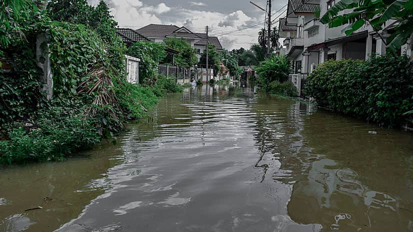
This tutorial will show you how to perform a suitability analysis to create a web map of flood risk.
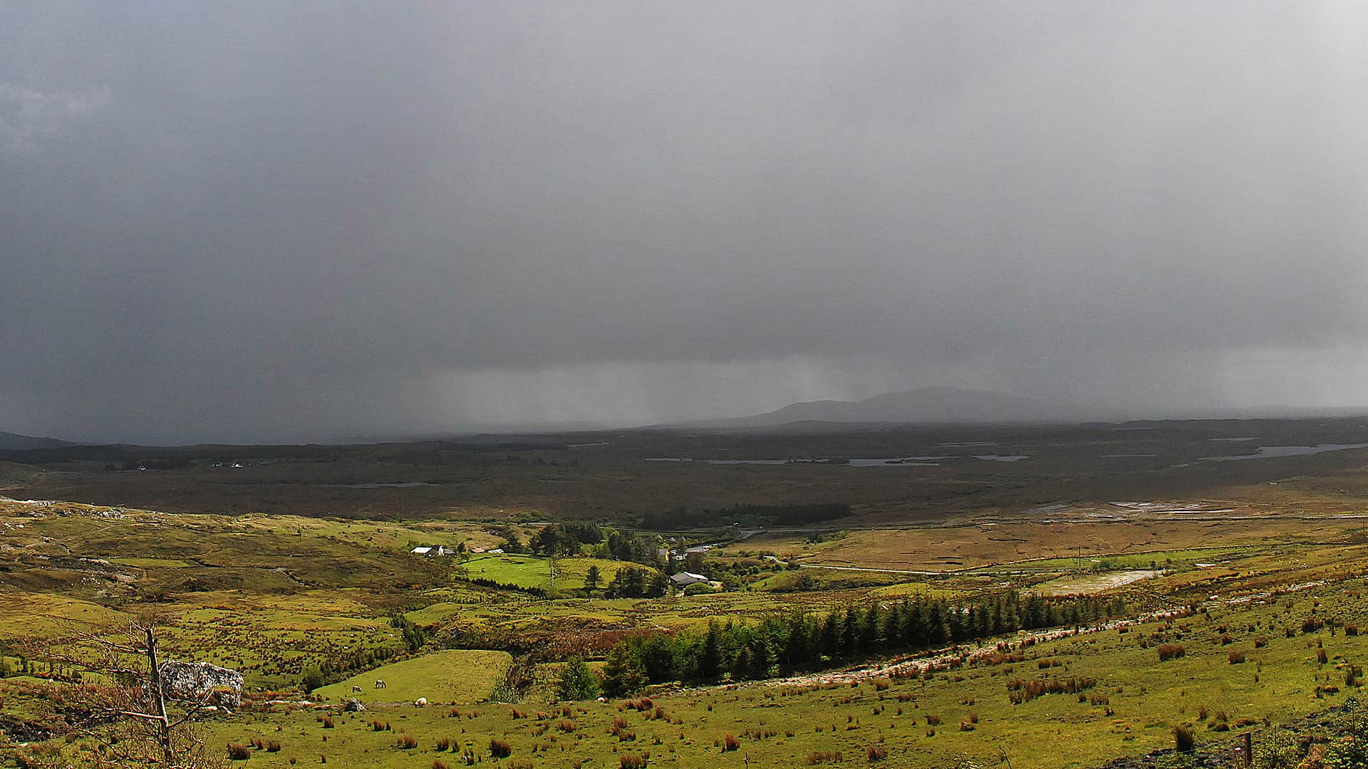
The Cork County Council in Ireland uses ArcGIS Online to monitor traffic and infrastructure problems during severe weather.
As part of the Climate Change Initiative by the White House, Esri will work with 10 cities to develop maps and apps to help these communities...
The United States Forest Service uses the ArcGIS for the Forest Inventory and Analysis program, creating reports about the status and trends...