Picture Your Projects
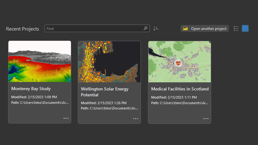
Add thumbnail images to your ArcGIS Pro recent projects list. Thumbnails can be static or can update dynamically to reflect a map or scene.
Add thumbnail images to your ArcGIS Pro recent projects list. Thumbnails can be static or can update dynamically to reflect a map or scene.
Learn to make a layout ArcGIS Pro, add guides, add an overview map, and more in this video.
In this video, see how to author a scene in ArcGIS Pro and share it to ArcGIS Online.
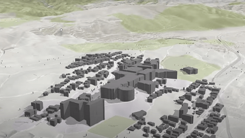
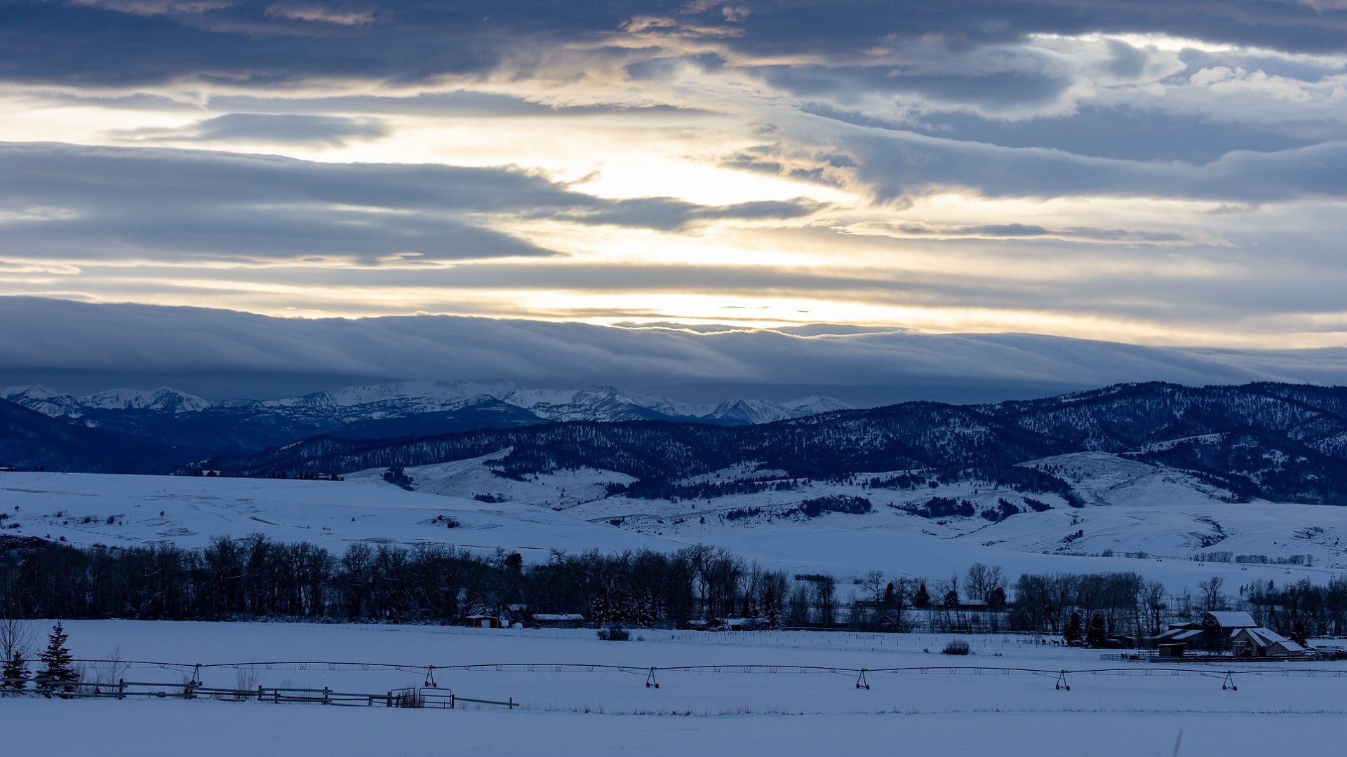
Students at Montana State University are using drone imagery and ArcGIS technology to ensure their campus can withstand severe winter storms.
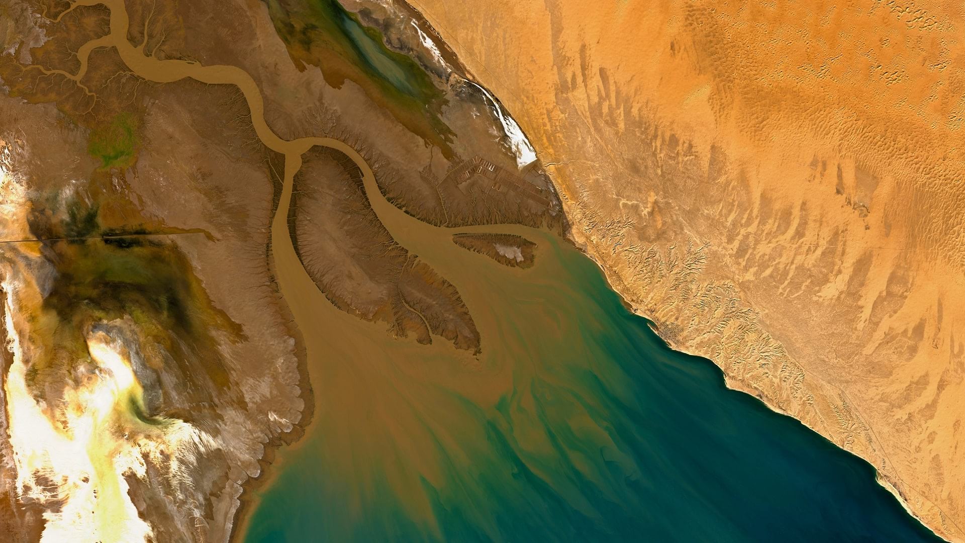
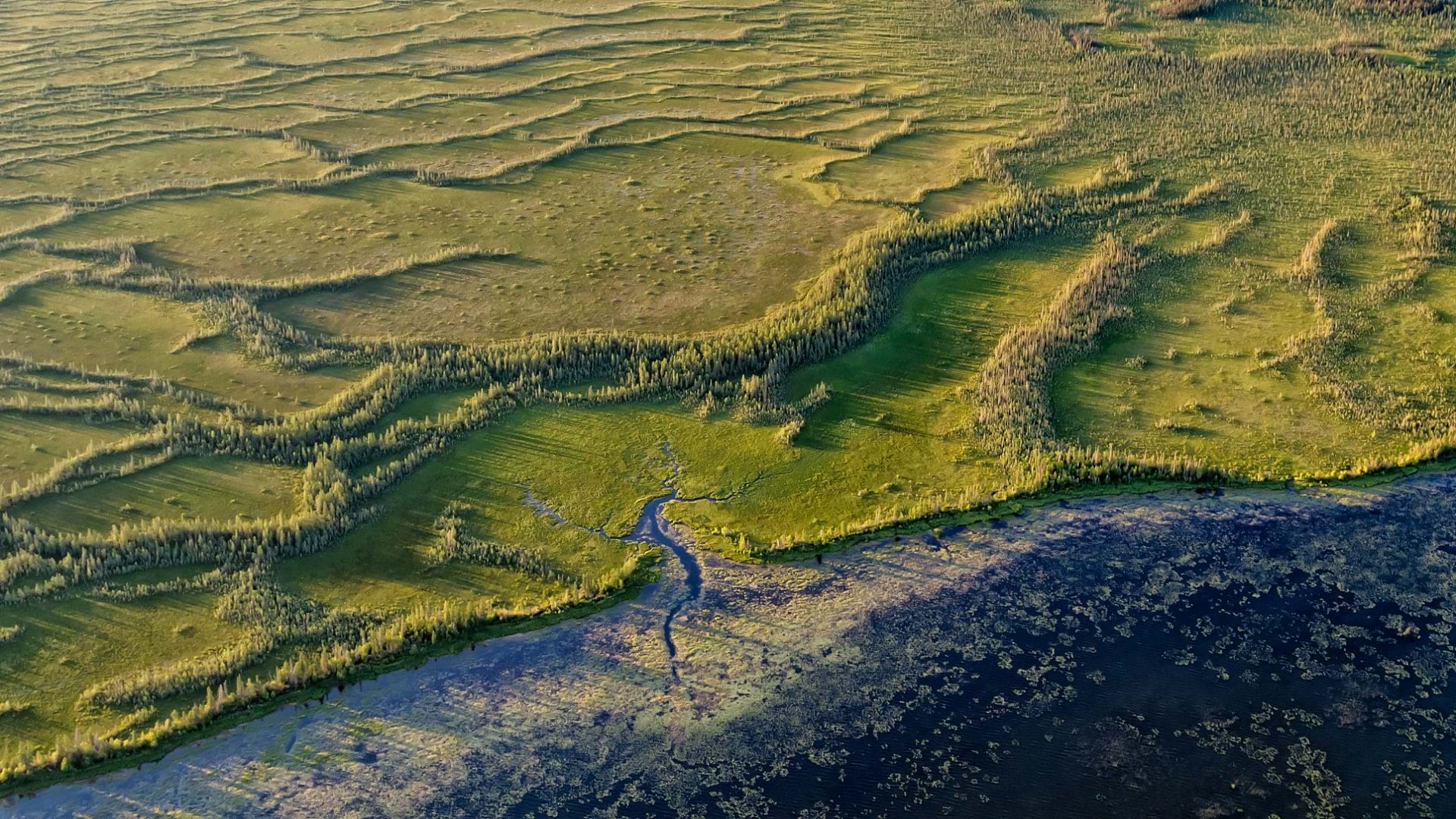
With imagery and remote sensing, the Audubon Society is working to preserve waterbird habitats in the Colorado River delta's largest wetland.
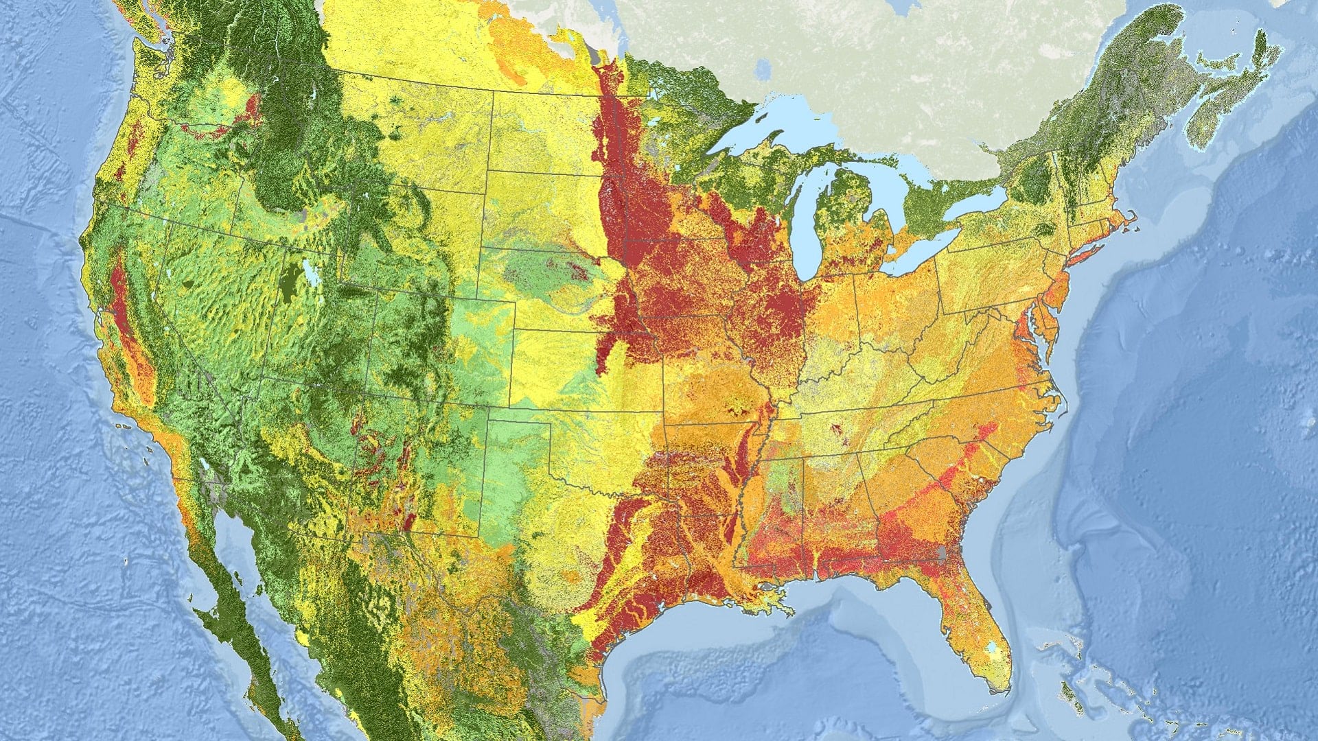
Using ArcGIS technology, NatureServe has applied a new standard for monitoring ecosystems at risk of collapse across North America.
Like symbols, labels are included in both basemap and operational layers. This course shows you how to add and customize labels for your maps.
Using GIS-based weed-spraying technology, environmental restoration organizations are working to reverse the impacts of industrial development.
What does it mean to bring BIM data into GIS? Explore why it's important and how you can implement it practically in ArcGIS.
Want to create a custom ArcGIS Pro experience? In this video, learn three easy ways to personalize ArcGIS Pro with built-in settings and options.
ArcGIS Pro 3.0 incorporates user-submitted suggestions from across the GIS community. Check out how developers implemented these ideas.
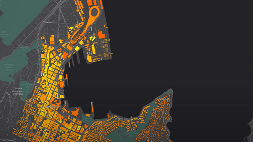
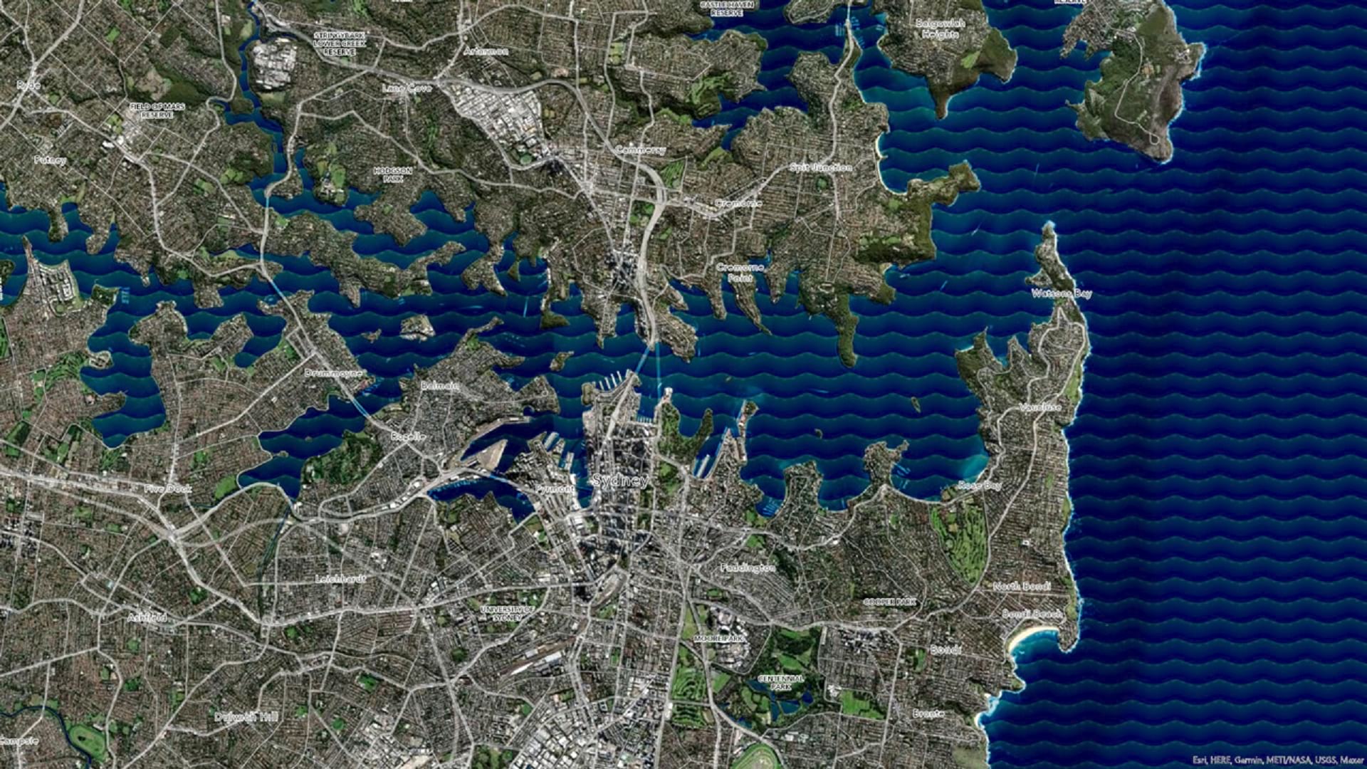
Learn how to make a wave effect in ArcGIS Pro that will set your map apart from the rest.