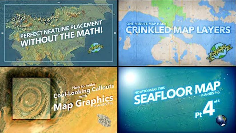
Learn a New Map Trick
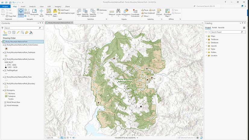
Learn how to save, update, and share map symbology as a reusable style using ArcGIS Pro.
Learn how to save, update, and share map symbology as a reusable style using ArcGIS Pro.
Esri cartographer John Nelson shows you how to use ArcGIS Pro to place tree symbols in the forested areas of your map.
Esri instructor Jack Horton demonstrates how to use ArcGIS Pro to edit a boundary line to accurately maintain land records data.
Learn to create a feature layer for your ArcGIS QuickCapture project using either ArcGIS Online or ArcGIS Pro.
New books from Esri include GIS Tutorial for ArcGIS Pro 2.8 and GIS for Science, Volume 3: Maps for Saving the Planet.
Three newly-minted graduates who studied GIS at their colleges and universities offer some sage educational advice.
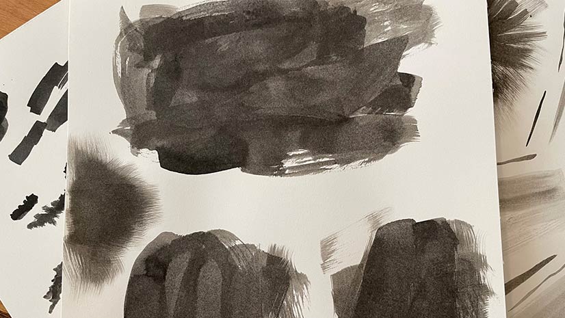
Esri cartographer Wesley Jones describes how he made an ink landscape inspired painting in ArcGIS Pro.
What are antipodes? Tune into Esri cartographer John Nelson's talk. They are not as scary as you think.
Esri offers US customers an ArcGIS Pro license packaged with a Dell Workstation or Rugged Tablet.
Durham-Chapel Hill-Carrboro Metropolitan Planning Organization used Esri software and Microsoft Azure to recover from a cyberattack.
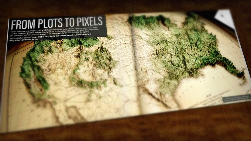
Cartographer John Nelson uses ArcGIS Pro to turn a vintage forest density map into a 3D map that uses modern forest density data.
Find out how to create easy-to-understand pictograms of skiers, snowboarders, snowmobiles, and tractors for a ski resort.