An Index for a Greener World
Countries around the world are using the Mountain Green Cover Index developed by the UN to monitor changing vegetation and improve conservation.
Countries around the world are using the Mountain Green Cover Index developed by the UN to monitor changing vegetation and improve conservation.
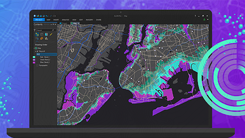
Now you can access a vast collection of satellite imagery with new EarthCache add-in for ArcGIS Pro.
In collaboration with NOAA, the Presence-Only Prediction tool in ArcGIS Pro predicted snow crab habitat under changing climate conditions.
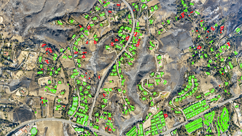
In this free ArcGIS Lab, learn how to automate common imagery tasks by classifying objects using deep learning in ArcGIS Pro.
Join this live training seminar on November 9 and explore the latest ArcGIS Pro enhancements.
This free web course explores the powerful tools and capabilities of ArcGIS Pro to integrate, visualize, analyze, and share your data.
In this five-minute video, learn how to create stunning effects in your next visualization using transparency, layer, and feature blending.
Check out this overview of hexagons, what they can do, and how you can use them in your GIS projects.
Learn more about the recently released ArcGIS Reality Studio application and ArcGIS Reality for ArcGIS Pro extension.
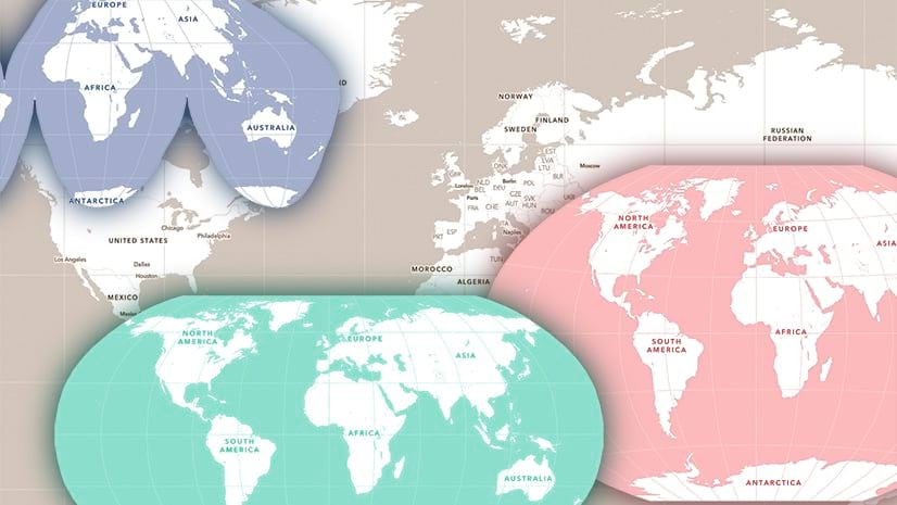
Use ArcGIS Pro to build Human Geography-style vector basemaps in different projections, for use in ArcGIS Online.
Learn how to make changes to web maps in ArcGIS Online and and ArcGIS Pro, and share updated versions of your maps.
In this web course, you will learn about when to use a custom basemap, plus how to create a custom basemap in ArcGIS Pro for your organization.