Modernizing with Esri’s ArcGIS Maps SDKs for Native Apps
An Esri partner tackled a complex codebase and ArcGIS Engine’s upcoming retirement.
An Esri partner tackled a complex codebase and ArcGIS Engine’s upcoming retirement.
Learn how to use data to create a hosted feature layer and a hosted feature layer view in ArcGIS Online.
Sketch a proposed mixed-use development in San Francisco's Mission Bay neighborhood.
Generative AI is simplifying access to location insight across the enterprise.
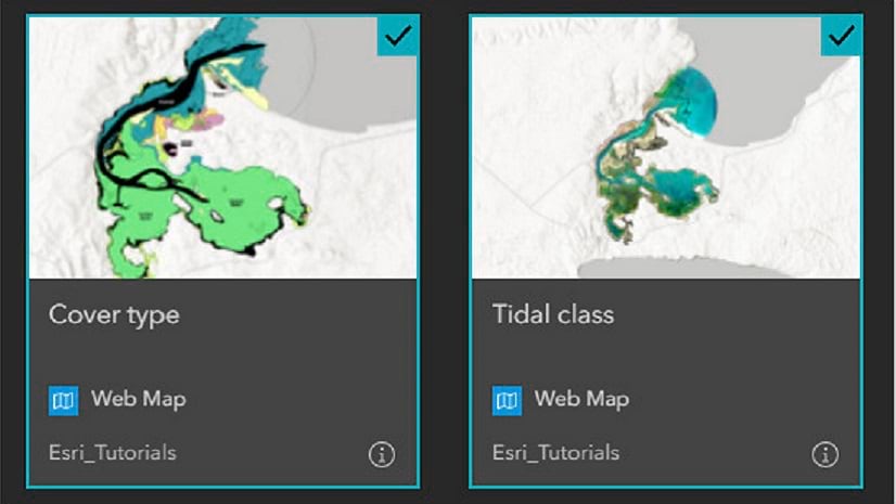
Learn how to change the layer properties of an existing feature layer to better suit your purposes.
Become a smarter mapmaker, ready to produce engaging maps that communicate with impact, by joining Esri's MOOC opening on August 27.
A new instructor-led course introduces key ArcGIS Indoors workflows with guided practice to integrate CAD, BIM, LAS, and GIS data.
If you have less than two years of applied ArcGIS Pro experience, a new technical certification can validate your skills.
An innovative study used GIS technologies to track where wildlife were crossing roads.
Airports are leveraging GIS technology to enhance airfield safety, regulatory compliance, and efficiency.
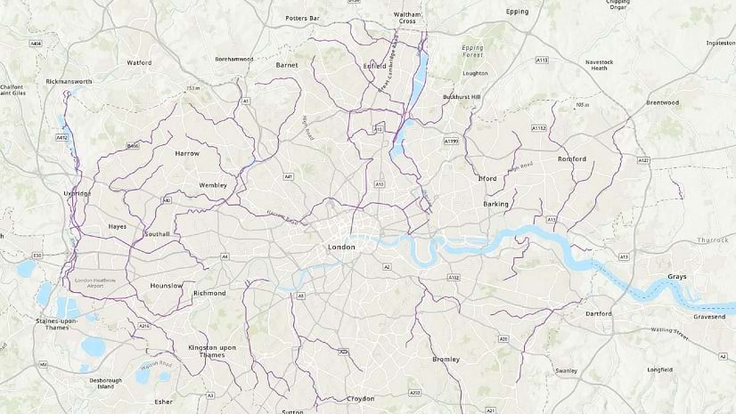
In England, a city council used GIS technology to create a revitalization plan that includes new parks, office space, and housing.
In ArcGIS Online and ArcGIS Enterprise, to make a layout for a web map, you can make a web app.