From Fire Hose to Focus: Missouri Modernizes Situational Awareness with GIS
State officials moved from a static PDF to a live, web-based situational awareness report to view real-world emergency conditions any time.
State officials moved from a static PDF to a live, web-based situational awareness report to view real-world emergency conditions any time.
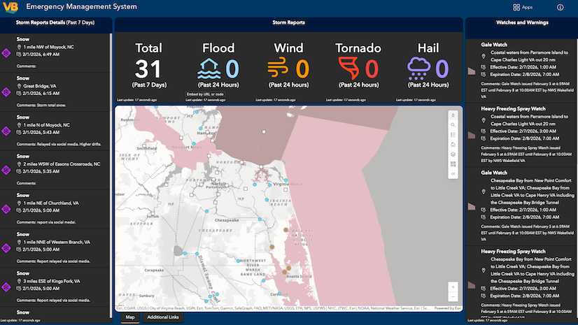
Staff in this coastal city merged 14 dashboards into one emergency management solution, providing a single view of citywide activity.
The Department of Law Enforcement is using virtual reality and digital twin technology to enhance security and situational awareness.
In Arizona, a city has a long history of integrating GIS with its operations.
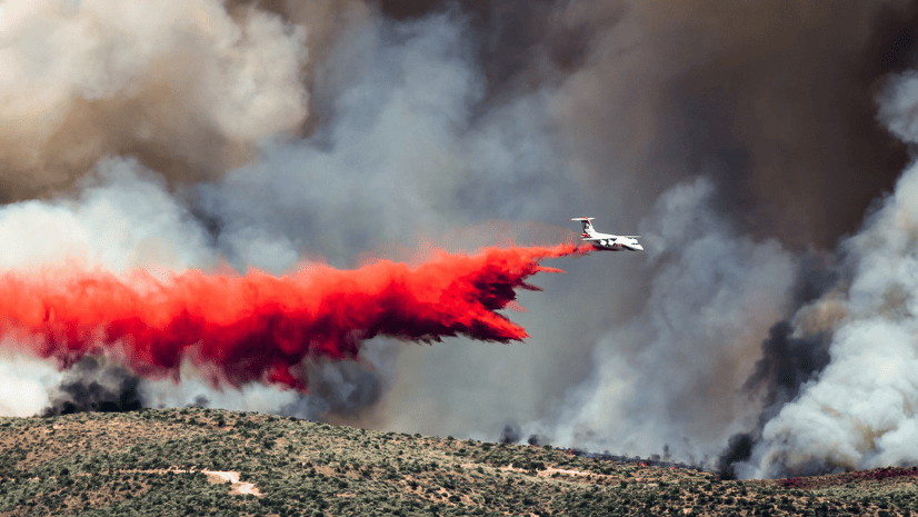
Explore how ArcGIS is used to manage wildland fire risk holistically, from preparedness to rehabilitation.
A Colorado ski resort used GIS technology to help find a lost snowboarder.
Beth Christenson, from the City of Cincinnati Police Department, explains how her organization uses ArcGIS Online to analyze crime patterns...
The US Navy's new standardized addressing system will help dispatchers route police and ambulances to emergencies.
The Oakville Fire Department in Canada used Esri technology, such as Survey123 for ArcGIS and Operations Dashboard for ArcGIS...