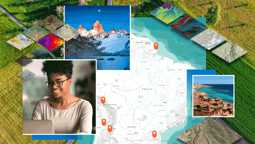
In the Wake of a Landslide
After a deadly landslide, the Alaska Department of Transportation used GIS and drone mapping to evaluate the damage and kickstart recovery.
July 2024
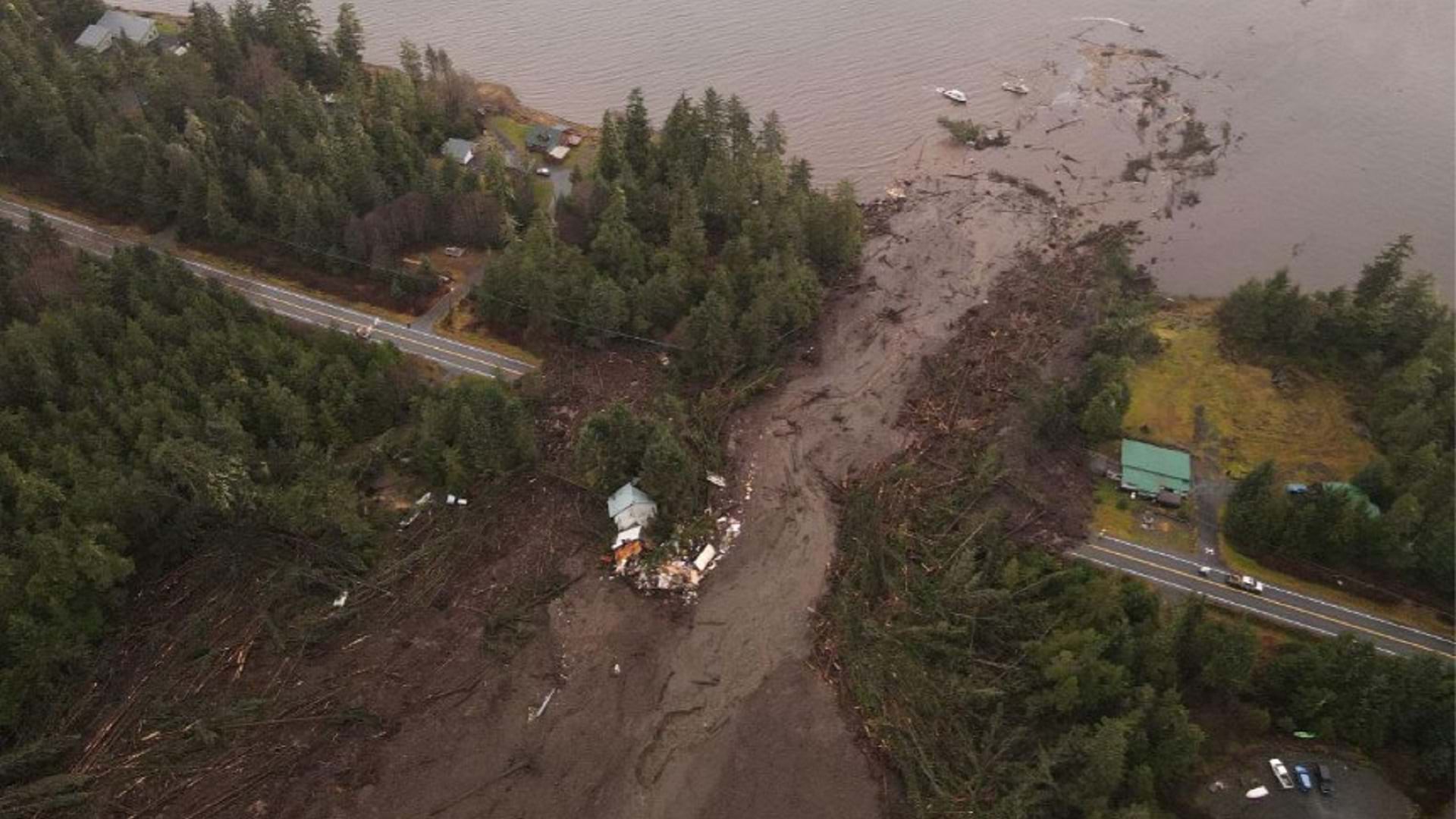
After a deadly landslide, the Alaska Department of Transportation used GIS and drone mapping to evaluate the damage and kickstart recovery.
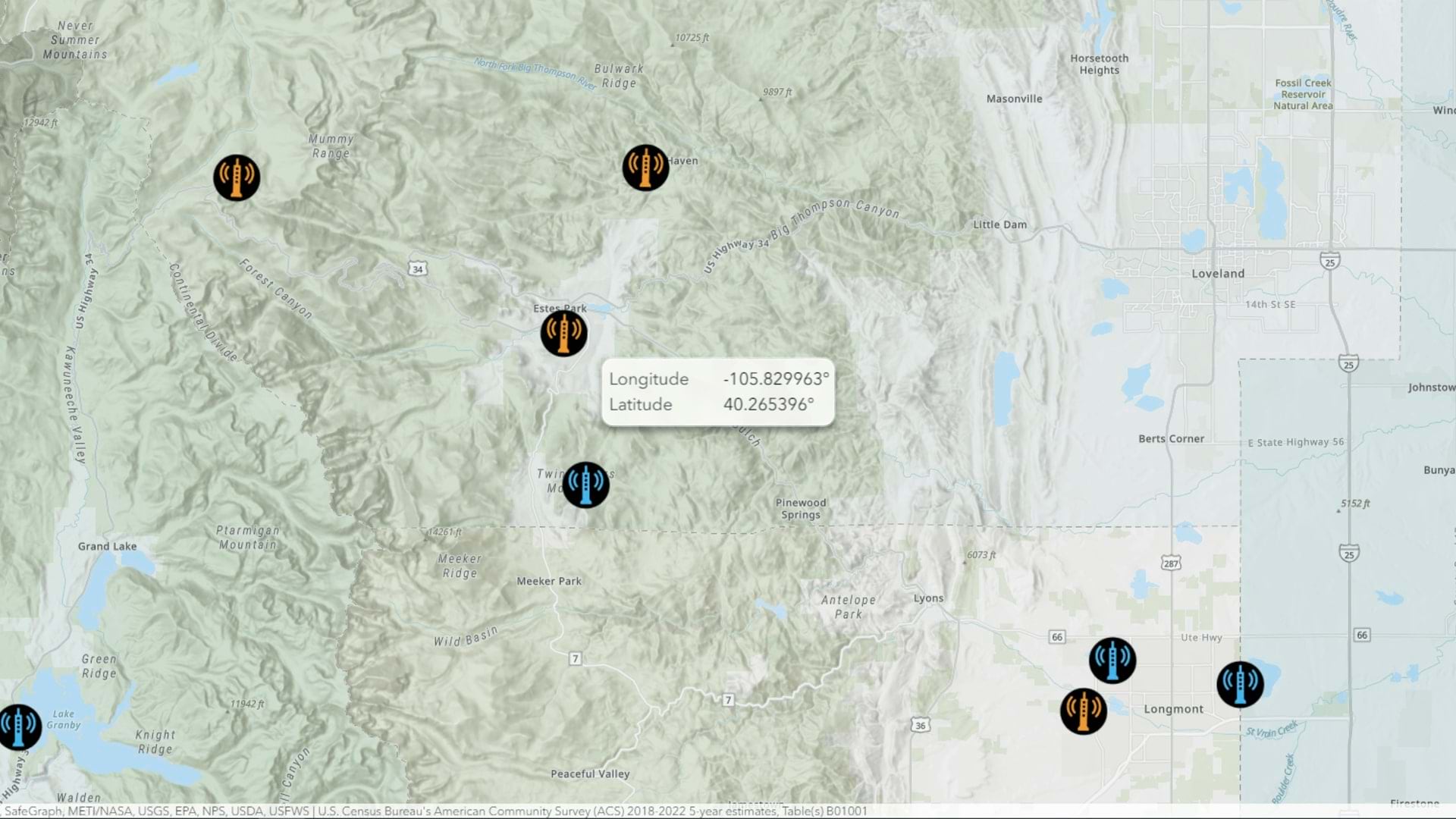
Learn how you can map a point with coordinates in ArcGIS Online using interactive tooltips.
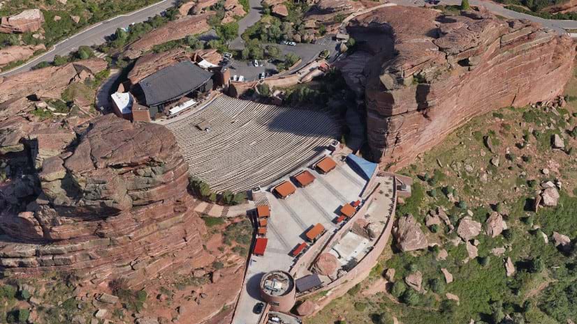
Learn how a collaborative drone reality mapping project between Denver safety agencies improves emergency response at Red Rocks Amphitheater.
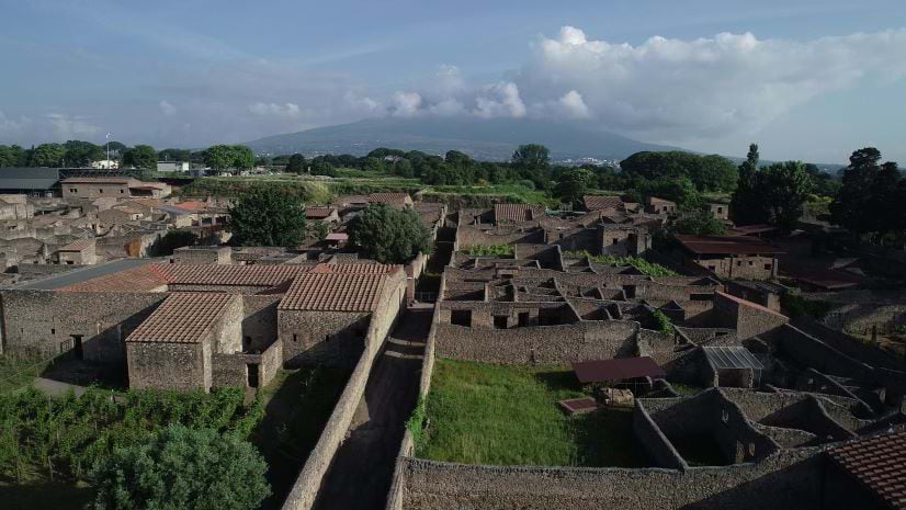
Archaeologists Allison Emerson and Alex Elvis Badillo explain how digital twin technology reveals insights about ancient Pompeii.
Mahoning County Public Health is fighting substance abuse and improving community outcomes with the Opioid Epidemic Outreach solution.
Learn to deliver informative, eye-catching cartographic representations in 3D with this new title from Esri Press.
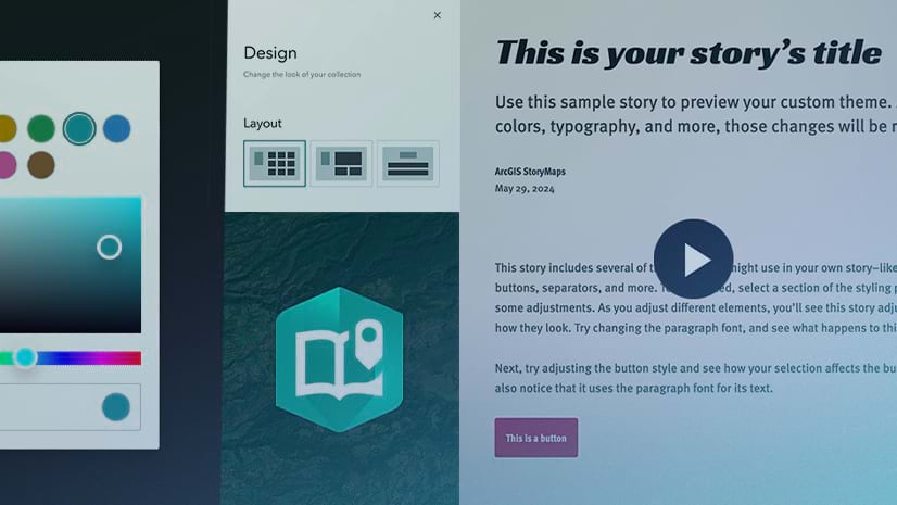
Announcing the launch of ArcGIS StoryMaps short videos: a series of videos sharing little tips that can have a big impact on your stories.
Check out the new Wildland-Urban Interface (WUI), the area where urban development occurs near wildland vegetation.
StoryMaps briefings offer a familiar, slide-based way to communicate with your audience. Learn the essentials of authoring a compelling briefing.
The Historical Topo Map Explorer is ready for you to explore a collection of over 180,000 beautiful vintage USGS topo maps.
The ArcGIS Living Atlas team publishes a lot of web layers. Here are some of their favorite tips and tricks for customizing your layers and maps.
Regional councils and governments play a key role in understanding and modernizing local government housing policies.
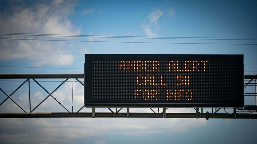
Amanda Pick, CEO of the Missing Children Society of Canada, explains how she worked with police to expand the search for missing kids.
Check out park equity in practice using GIS from a former supervisor in a special parks district.
In this MOOC, gain hands-on experience performing suitability analysis, predictive modeling, and object detection. The course opens August 28.
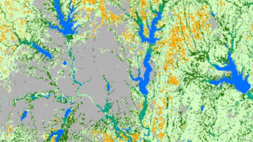
In this ArcGIS lab, determine the amount of land developed over a period of time to help policymakers plan for the future.
In this 5-minute video, discover how to identify and visualize patterns of clustering in ArcGIS Pro.