May 26, 2020 |
Christopher Thomas | GIS for Good
All Articles
-
-
May 20, 2020 |
Sarah Alban |Mapping COVID-19: Idled Sarasota Employees Contribute with Fieldwork
-
May 14, 2020 |
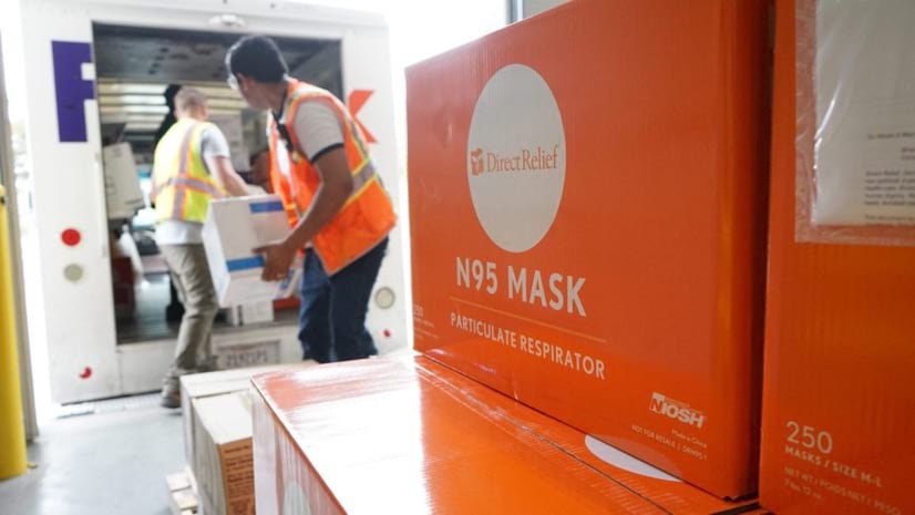
Ryan Lanclos |Public Safety COVID-19: How Direct Relief Solves Medical Supply Chain Problems
-
May 12, 2020 |
Linda Peters |Mapping Deep Learning Helps Kuwait Automate Map Updates to Better Serve Citizens
-
May 7, 2020 |
Ryan Lanclos |GIS for Good How the FDA Safeguards the Global Supply of Food and Drugs
-
May 5, 2020 |
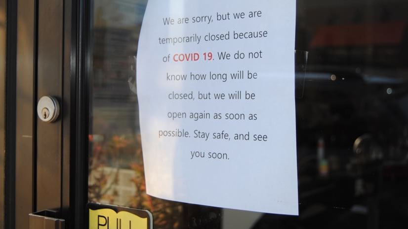
Jeanne Flores |GIS for Good Homelessness in a Pandemic: Cities and Counties Search for Solutions
-
April 29, 2020 | Multiple Authors |
Mapping GISCorps Builds an Authoritative Map of COVID-19 Testing Sites
-
April 27, 2020 |
Jen Van Deusen |GIS for Good Maps: The Fight for Fairer Redistricting and Voting Rights
-
April 23, 2020 | Multiple Authors |
GIS for Good State and Local Government Open Data Sites Share COVID-19 News, Resources
-
April 22, 2020 |
Dr. Dawn Wright |Conservation Earth Day, Nature, and COVID-19: What We’re Learning
-
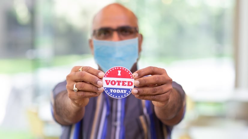
April 21, 2020 |
Christopher Thomas |GIS for Good Elections and COVID-19: Ensuring Safety in the Voting Process
-
April 17, 2020 |
Christopher Thomas |GIS for Good COVID-19: Local Governments Map Food and Essentials to Guide People
-
April 15, 2020 |
Dr. Dawn Wright |Conservation On 50th Anniversary of Earth Day, New App Engages Citizen Scientists
-
April 13, 2020 | Multiple Authors |
GIS for Good World Bank Maps Rural Poverty in Afghanistan to Increase Shared Prosperity
-
April 8, 2020 |
Richard Leadbeater |GIS for Good COVID-19: Pennsylvania Counties Assess Economic Fallout with Shared Maps
-
April 7, 2020 | Multiple Authors |
GIS for Good Models and Maps Explore COVID-19 Surges and Capacity to Help Officials Prepare
-
April 6, 2020 |
Keith VanGraafeiland |Conservation Collecting, Stewarding, and Sharing the Nation’s Environmental Data
-
April 2, 2020 |
Makenna Sones |Mapping Reveal: Finding the Most Vulnerable among Us
-
March 31, 2020 |
John Beck |Public Safety Antiquities Trafficking: Maps Take Aim at Looters and Buyers
-
March 26, 2020 |
Este Geraghty, MD, MS, MPH, GISP |GIS for Good Mapping Epidemics: From SARS, Zika, and Ebola to the Pandemic of COVID-19
-
March 24, 2020 |
Dr. Dawn Wright |Mapping Citizen Scientists Help Home In on Sea Turtle Home Ranges
-
March 17, 2020 | Multiple Authors |
GIS for Good Smart Maps Guide COVID-19 Investigations and Actions, and Monitor Effectiveness
-
March 10, 2020 |
Mike Bialousz |Conservation How Technology and Smart Maps Have Helped Hundreds of Relocated Mountain Goats
-
March 5, 2020 |
Andrea Massey |Mapping Reveal: Empowering People with Visual Impairments to Navigate the World