October 15, 2026 |
John Beck | Public Safety
All Articles
-
-
October 13, 2026 |
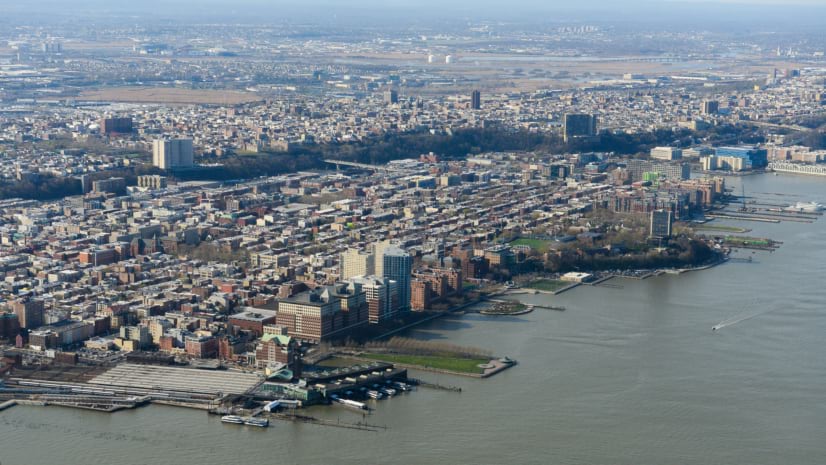
Adam Carnow |Infrastructure Shared Maps Help Hoboken Reduce Traffic Crashes and Flooding
-
October 8, 2026 |
Adam Carnow |Mapping How MassDOT Made Drone Imagery Easy to Find, Trust, and Use
-
October 6, 2026 |
Linda Foster |Mapping Modern Stewardship of the Surveys That Built a Nation
-
September 29, 2026 |
Angel Baltazar |GIS for Good North Carolina Food Banks Map Food Deserts to Meet Rising Need
-
September 24, 2026 |
Katie Olson |Video VIDEO: How a Fast-Growing Canadian City Manages Billions in Infrastructure Assets
-
September 22, 2026 |
Angel Baltazar |GIS for Good LA County Puts Public Health on a Map for the FIFA World Cup and LA28
-
September 17, 2026 |
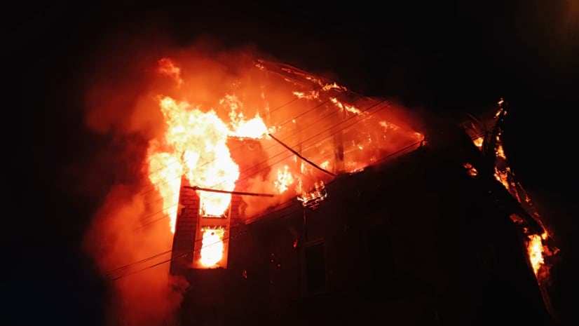
Mike Cox |Public Safety Mapping the Response: How Fairfax County Fire and Rescue Used GIS to Guide a Gas Explosion Response
-
September 14, 2026 | Multiple Authors |
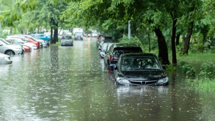
Public Safety From Mapping to Prediction: Seeing the Flood Before It Arrives
-
September 10, 2026 |
Katie Olson |Video VIDEO: Executive Strategy—Maps Build Consensus and Drive Real Change
-
September 8, 2026 |
Olivier Cottray |GIS for Good Tracking A Million Displaced People in Real Time: Lebanon’s Crisis Coordination System
-
September 3, 2026 |
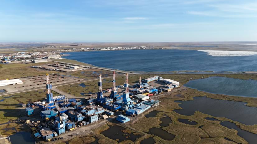
Geoff Wade |Natural Resources Alaska Opens Its Geology to the World’s Next Energy Economy
-
September 1, 2026 | Multiple Authors |
Resilience Beyond the Flood Forecast: Mapping the Cascading Impacts
-
August 27, 2026 |
Katie Olson |Video VIDEO: Ottawa’s Digital Twin Brings Transparency to City Growth
-
August 25, 2026 |
Christa Campbell |Infrastructure As Midwest Storms Grow More Extreme, Milwaukee’s Water Reclamation Agency Has a Plan
-
August 18, 2026 |
Lain Graham |Mapping From These Lands: Mapping US Natural and Cultural Heritage
-
August 13, 2026 |
Christian Carlson |Infrastructure Before the Break: How GIS Helps Cities Spot Infrastructure Risk Before It Cascades
-
August 11, 2026 |
Angel Baltazar |GIS for Good How Seattle Uses GIS to Put Equity at the Center of Service Delivery
-
August 6, 2026 |
Katie Olson |Video VIDEO: From Ski Slopes to Broadband, Maps Guide Critical Decisions
-
August 4, 2026 | Multiple Authors |
Conservation One US Forest Service Map App, Every National Forest and Grassland
-
July 30, 2026 |
Patricia Cummens |Mapping Corporate Home Buying Expands: Maps Reveal Changing Ownership Patterns
-
July 28, 2026 |
Nick Short |Natural Resources Texas A&M Is Building the Data Infrastructure That Will Scale American Ranching
-
July 21, 2026 |
Carrie Speranza |Resilience In North Carolina, a Drone Pilot Maps the Coast as the Sea Swallows Homes
-
July 14, 2026 |
Sunny Fleming |Conservation Maps Went into Bwindi Impenetrable Forest. A Chimpanzee Count Came Out.