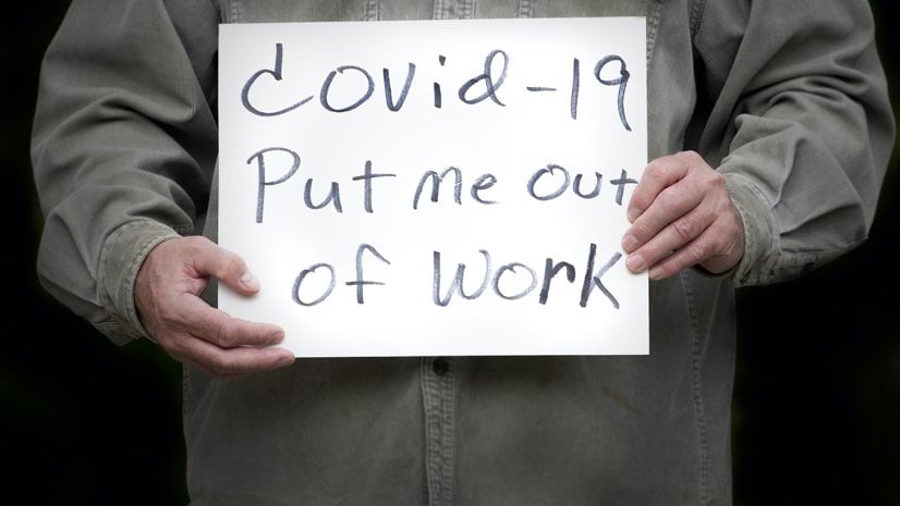
December 9, 2020 |
Ryan Lanclos | Public Safety
All Articles
-
-
December 1, 2020 |
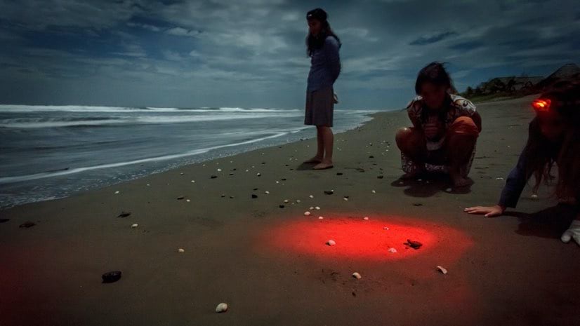
David Gadsden |Conservation Hollywood Tricks and Location Technology Catch Poachers of Sea Turtle Eggs
-
November 23, 2020 |
Este Geraghty, MD, MS, MPH, GISP |GIS for Good Slovakia's COVID-19 Testing Gains Efficiency with Live Maps
-
November 19, 2020 |
Ryan Lanclos |Public Safety UN’s Urban Search and Rescue Network Gains New Awareness After the Beirut Blast
-
November 17, 2020 |
Steve Snow |Mapping Lidar Images Show Mayan Civilization in a New Light
-
November 12, 2020 |
Patricia Cummens |GIS for Good Online Schooling Prompts Municipalities to Map Digital Inequities
-
November 2, 2020 |
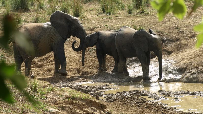
David Gadsden |Conservation Chengeta Wildlife Wields Location Intelligence to Fight Poachers
-
October 27, 2020 |
Ben Conklin |Public Safety In Back-to-Back Hurricanes, Louisiana National Guard Calls on Predictive Model
-
October 22, 2020 | Multiple Authors |
GIS for Good Maps and Data Strengthen Calls for Housing Equity in Houston
-
October 20, 2020 |
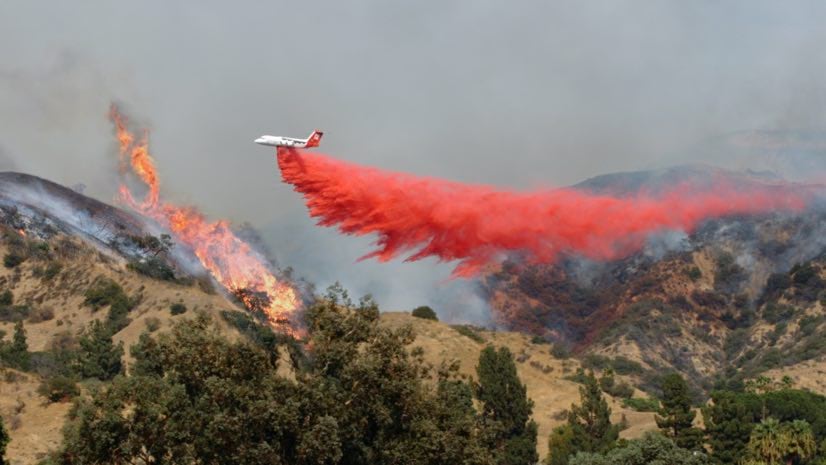
Mike Cox |Public Safety #FireMappers Volunteers Keep Tabs on Quickly Spreading Wildfires
-
October 13, 2020 | Multiple Authors |
GIS for Good Maps Show the Real Picture of Race and Equity in Oakland
-
October 9, 2020 |
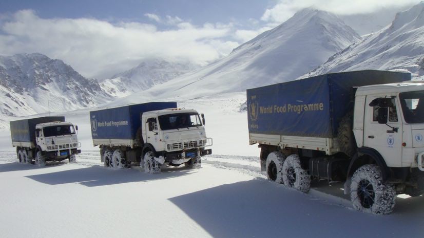
Ryan Lanclos |Public Safety World Food Programme Guides Operations in Afghanistan with Online GIS Apps
-
October 8, 2020 |
Kathleen Kewley |Infrastructure Global Cities Innovate with 3D Modeling
-
October 6, 2020 | Multiple Authors |
GIS for Good New York Uses Maps to Advocate for Justice in Driver’s License Suspensions
-
September 29, 2020 |
Christopher Thomas |GIS for Good COVID-19: Data and Smart Maps Are Elevating Human Services in Snohomish County
-
September 24, 2020 |
Este Geraghty, MD, MS, MPH, GISP |Public Safety How GIS Can Help Leaders Achieve Equitable, Speedy Vaccine Distribution
-
September 22, 2020 |
Clinton Johnson |GIS for Good Sharing Black Perspectives on the Racial Implications of Place
-
September 17, 2020 |
Keith Cooke |GIS for Good COVID-19: Kentucky Maps Economic Recovery
-
September 15, 2020 |
Jim Baumann |Mapping Social Media Meets Data Science – Geography Pulls It All Together
-
September 10, 2020 |
Sunny Fleming |Conservation Solving the National Seed Packet Mystery: Mapping
-
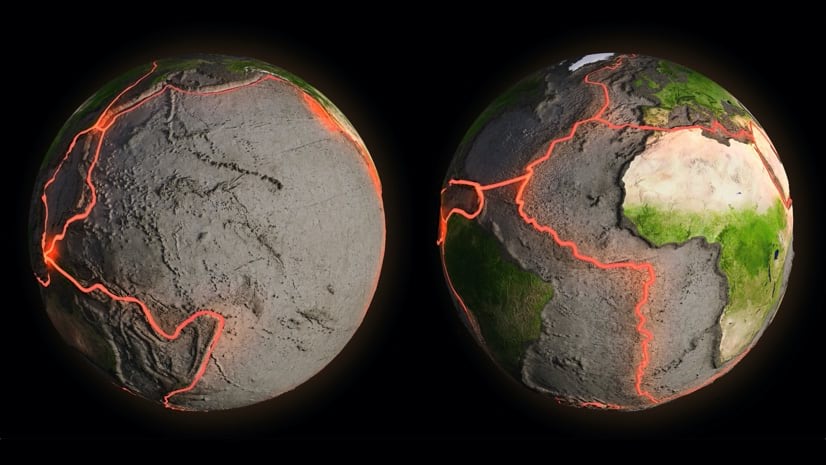
September 8, 2020 |
Greg Milner |Mapping Reveal: How Science and Technology Keep Up with Earth’s Shifting Surface
-
September 1, 2020 |
Dr. Dawn Wright |Resilience Burning Man: An Ideal Lab for Microclimate Research and Climate Modeling
-
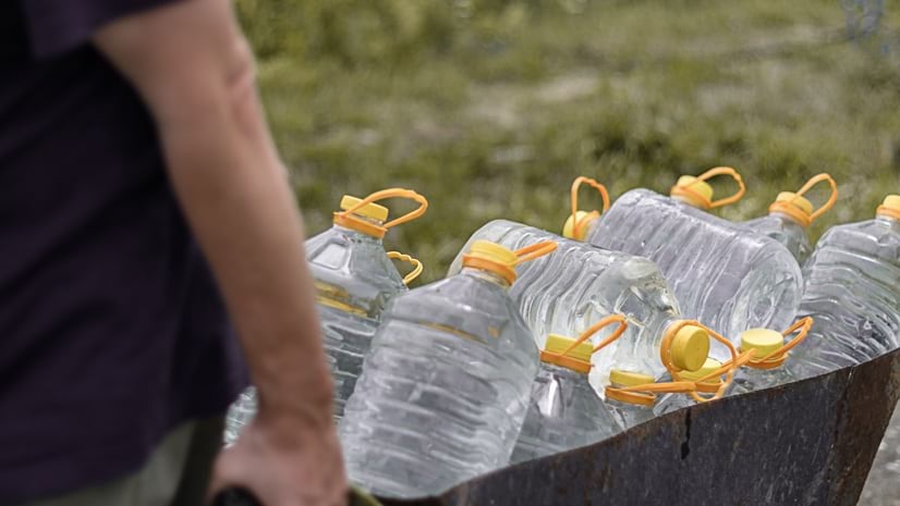
August 25, 2020 | Multiple Authors |
GIS for Good California's Water Crisis Hits Farmworkers Hardest, Maps Call Attention
-
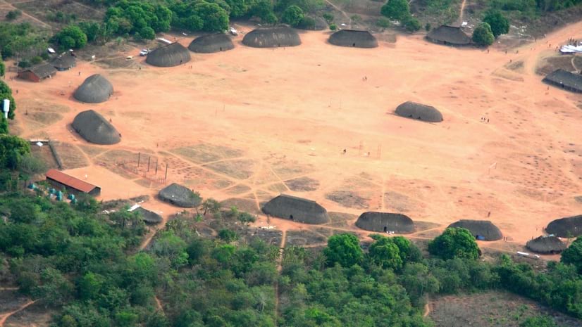
August 18, 2020 |
David Gadsden |GIS for Good COVID-19: Amazonian Tribe Applies Location Intelligence to Protect Community