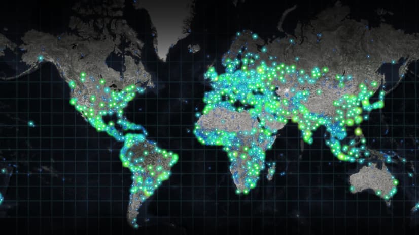
October 3, 2018 |
Steve Snow | Mapping
All Articles
-
-
September 12, 2018 |
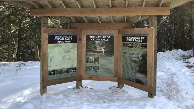
Mike Bialousz |Conservation Parks and Maps Go Modern in Ohio
-
September 5, 2018 |
Adam Reedy |Public Safety Argentina Guards Against Fish Poachers
-
August 29, 2018 |
Brooks Patrick |Urban Planning DC Embraces Augmented Reality to Plan Its Future
-
August 8, 2018 |
Ryan Lanclos |Public Safety Hawaii Volcano: Scientists, Emergency Responders Put Drones to Work
-
August 3, 2018 |
David Gadsden |Conservation On Battling Climate Change
-
July 18, 2018 |
Brett Dixon |Public Safety The Technology Behind the Thailand Cave Rescue
-
July 5, 2018 |
Steve Snow |Mapping Commerce Flows through US Ports with the Help of Automated Data Sharing
-
June 27, 2018 |
Matt Ball |Mapping Reveal: Archaeologists Dig into Data, Not Dirt
-
June 7, 2018 |
Ryan Lanclos |Public Safety How San Antonio Beefed Up Security for NCAA Final Four
-
June 6, 2018 |
Keith Mann |Mapping A Drone Program Tips a Community Toward Improvements
-
May 30, 2018 |
Brett Dixon |Public Safety Himalayan Storm Watchers Save Lives
-
May 24, 2018 |
Terry Bills |Infrastructure Iowa DOT Makes Foundational Changes to Modernize Mobility
-
May 4, 2018 |
Patrick Wallis |Infrastructure How NASA Mapped and Modeled Langley’s Digital Twin
-
April 23, 2018 |
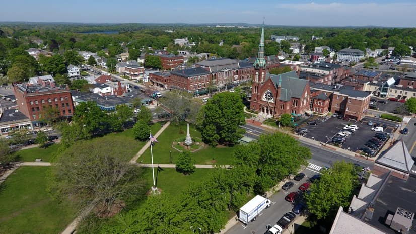
Brooks Patrick |Urban Planning Meet Boston’s Digital Twin
-
April 18, 2018 |
Lauren Lipovic |Mapping Curators at the Library of Congress Open Access to Collections with Story Maps
-
April 9, 2018 |
Ryan Lanclos |Public Safety Toronto Police Use Maps and Apps to Strengthen Community-Based Policing
-
March 21, 2018 |
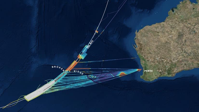
Dr. Dawn Wright |Mapping Downed Airliner Search Mission Yields Map with Lasting Purpose
-
March 7, 2018 |
Ryan Lanclos |Public Safety Real-time Map Helps Bergen Deliver a World-Class Cycling Race
-
March 7, 2018 |
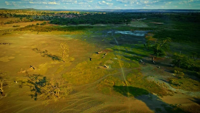
David Gadsden |Conservation Defending Elephants in Africa
-
February 22, 2018 |
Keith Mann |Infrastructure A Michigan Township Modernizes Sewer Management
-
February 14, 2018 | Multiple Authors |
Mapping Mapping the Future of GIS
-
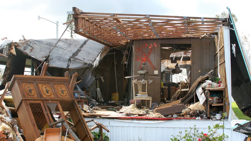
February 7, 2018 |
David Gadsden |Public Safety Location Technology Helps the Legally Vulnerable After Disasters
-
January 11, 2018 |
Keith Mann |Urban Planning New Bern Takes Ownership of Blight