displaying 7049 results
Maps and connected devices help executives achieve a key objective for the mobile enterprise: ensure everyone is benefiting from the same data.

Kongjiang Yu’s childhood experiences, and embrace of GIS technology, guide his holistic sponge city designs.
WhereNext takes a fresh look at the ultimate joint venture: nature and business. Are GIS professionals the MVP of this JV?

Maps and data science are making it possible to address a homeownership gap that leaves more people of color living in rented housing.

At the dawn of the industrial metaverse, mature and emerging technologies combine to drive safety, efficiency, and scenario planning.
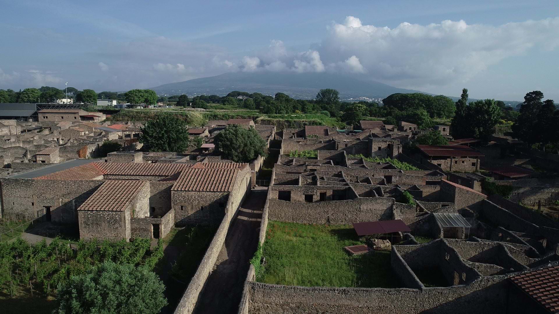
Archaeologists Allison Emerson and Alex Elvis Badillo explain how digital twin technology reveals insights about ancient Pompeii.
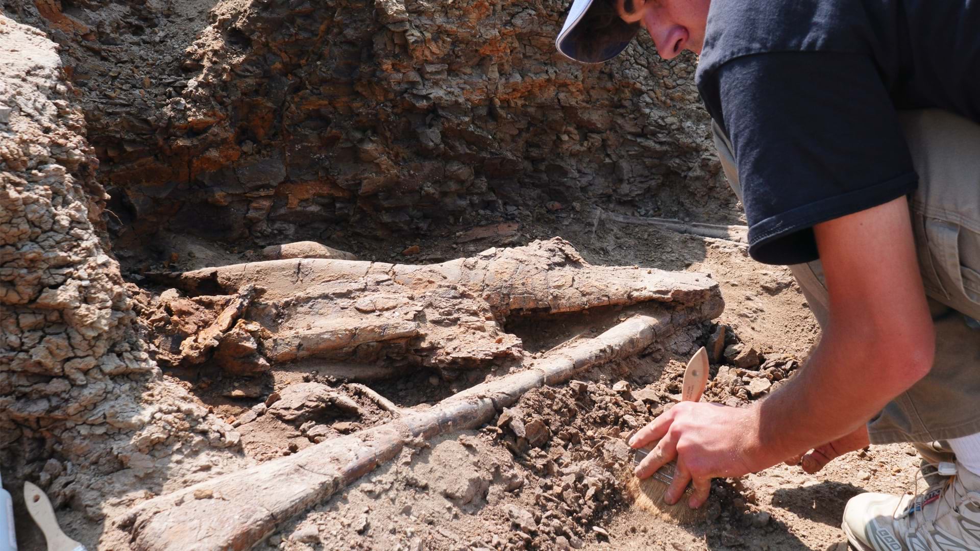
The Earth Sciences Foundation is creating a real-time map of dinosaur bone locations with RFID tagging and GIS mapping.
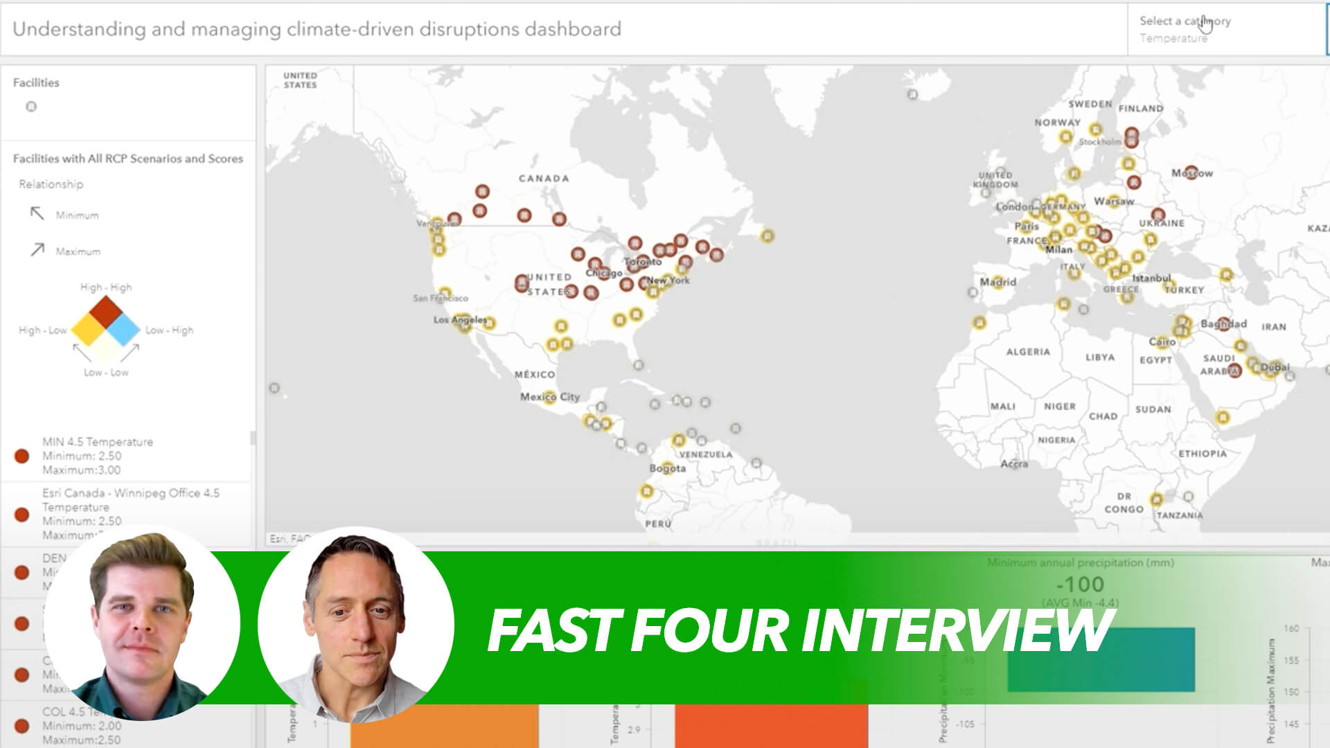
Resilience is an expanding imperative in the climate era—leading companies are embracing the new paradigm and seizing opportunities.
Annual 10-Meter 2017–2023 High-Resolution Maps Available in Esri's ArcGIS Living Atlas of the World
Esri senior writer Karen Sullivan discusses the legacy of forgotten black burial grounds and the initiative to document them.
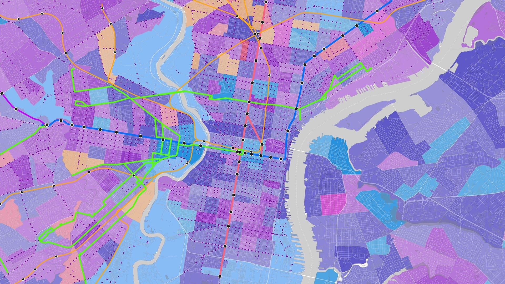
Explore how ArcGIS technology empowers companies to grasp and navigate the impacts of rural broadband deployment.

With 3D visualization, the EPA can better understand and respond to groundwater contamination in LA County and beyond.