displaying 1363 results
ArcGIS Enterprise was key to the four-day drill, which aimed to maximize the government’s emergency preparedness and response efforts.

To better identify sections that need maintenance or could become commerce choke points, Esri partner SymGEO implemented ArcGIS Dashboards.

How does someone move from being a GIS analyst to a GIS manager? Here are five things to do to be effective from the outset.

With a new app, built by the GIS team from San Juan County, New Mexico, residents more easily report illegal dumping sites.

New partnerships and a new company bring GIS to more people, professions, and locations around the world.
Esri provides geospatial content to Salesforce Maps, expands its drone imagery offering, and helps Mozambique modernize land administration.

Ian Wint, the GIS manager at the City of Fort Lauderdale, Florida, takes risks and isn’t afraid to fail. That’s why he’s a GIS Hero.
Navigating and making the most of a budding GIS career can be daunting. Getting involved with a professional organization can help.

Developed with ArcGIS technology, the model can help resource managers holistically manage fisheries and anglers find new fishing spots.
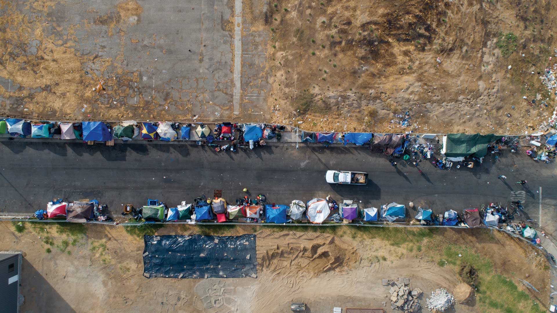
Volunteers used Survey123 for ArcGIS for this year’s point-in-time count of people experiencing homelessness. The results were invaluable.
With Data Appliance for ArcGIS, Esri users can protect their internal proprietary data by keeping it local—on their organization’s network.

Under the leadership of GIS customer solutions manager Ben Bruns, Dutch Kadaster automated multiscale map production—and shared its methods.