displaying 396 results
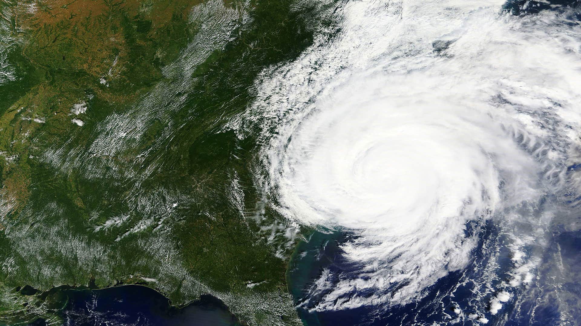
To navigate safely in polar regions, ship commanders operating near, through, and beneath sea ice rely on data supplied by the National...
This regular column contains information about the latest updates to ArcGIS Online, including new features and capabilities, basemap updates...
Web GIS is changing disaster response, allowing organizations to continually unite their daily operations with emergency needs.
Web maps can transform geography, history, and civics from long reading assignments into visual learning experiences.
The National Ice Center (NIC) uses an ArcGIS extension to process satellite imagery of polar regions.
The Nature Conservancy uses Esri ArcGIS to power its suite of online mapping decision support tools, which organizations can use to prepare...
ArcGIS Open Data functionality, previously in beta, was officially released and localized in 24 languages. With the Open Data feature in ArcGIS…
Get your students interested in the world around them using ArcGIS Earth, a free desktop-based, interactive globe for visualizing the earth...
Snorkelers, scuba divers, and beachgoers who spot sea turtles can help scientific researchers learn more about the elusive and often endangered..

Alternative text in ArcGIS StoryMaps makes content more accessible to those with limited vision.

Preserving biodiversity was the theme of Healy Hamilton's keynote at the 2021 Esri Science Symposium
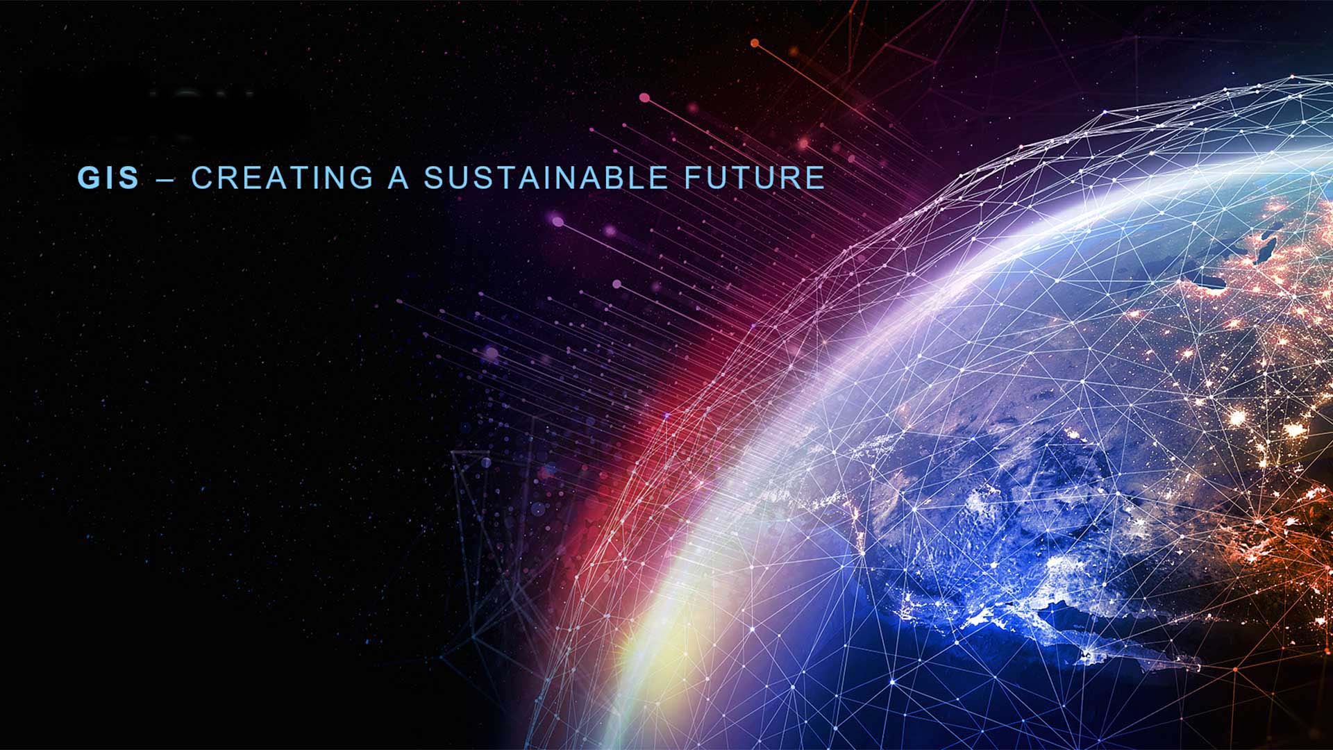
GIS is critical to adopting a sustainable approach to living and working as the challenges to the Earth increase.